arrow_back
Montauban / Montricoux Vallée et Gorges de l'Aveyron by bike
Canals & intimate rivers
31,09 Km
2 h 11 min
I cycle often
31,09 km cycling route from Montauban to Montricoux
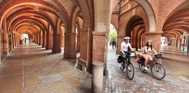
Having appreciated the delights of the pink-brick town of Montauban, then climb gently to join a greenway taking you towards orchards. The route meanders for a time through countryside, avoiding major roads. It passes close to some little gems built on the edge of the valley, which is very open here. You’ll soon spot the châteaux of Bioule, Nègrepelisse and Montricoux.
Elevation of the stage
21 m 53 m
Waytypes of the stage
Cycle path: 3,49 km By road: 26,98 km
Surface of the stage
Smooth: 30,35 km Unknown: 0,13 km
The route
After following the cycle route through town signposted from close to Montauban Tourist Office (leaving from Rue du Fort), the first few kilometres are mainly on sections reserved for non-motorized traffic. Then you join quiet country roads through the valley. You’ll cross the Aveyron River in several of the larger villages.
Links
The link to the Canal des 2 Mers à Vélo cycle route is signposted and well laid out along the Tarn River, from Le Pont-Vieux to Port-Canal. The Canal de Montech leads you to the Canal des 2 Mers after 12 kilometres.

Travellers’ reviews