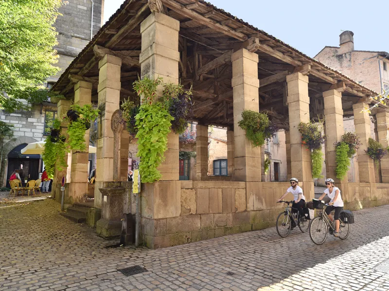
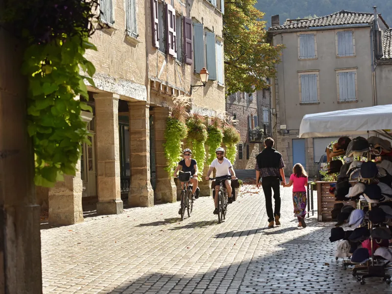
Montricoux / Saint-Antonin-Noble-Val
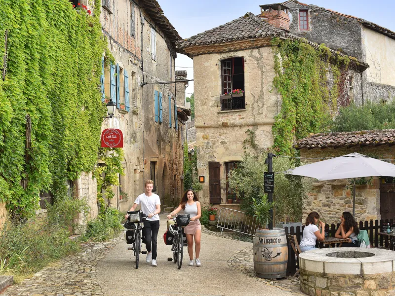
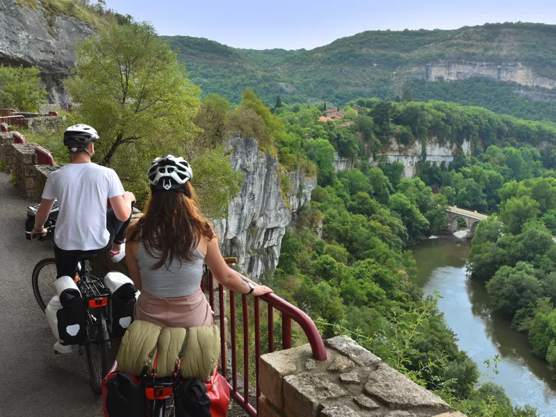
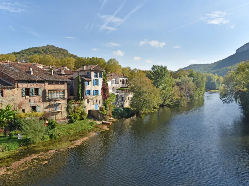
After Montricoux, the enchanting Aveyron Valley cuts through a limestone plateau, or causse. As well as relishing spectacular viewing points down onto impressive gorges, enjoy a feast of perched villages and castles! The settings resemble backdrops to a film. The route along this portion more than lives up to expectations, but it requires quite some effort from cyclists !
The route
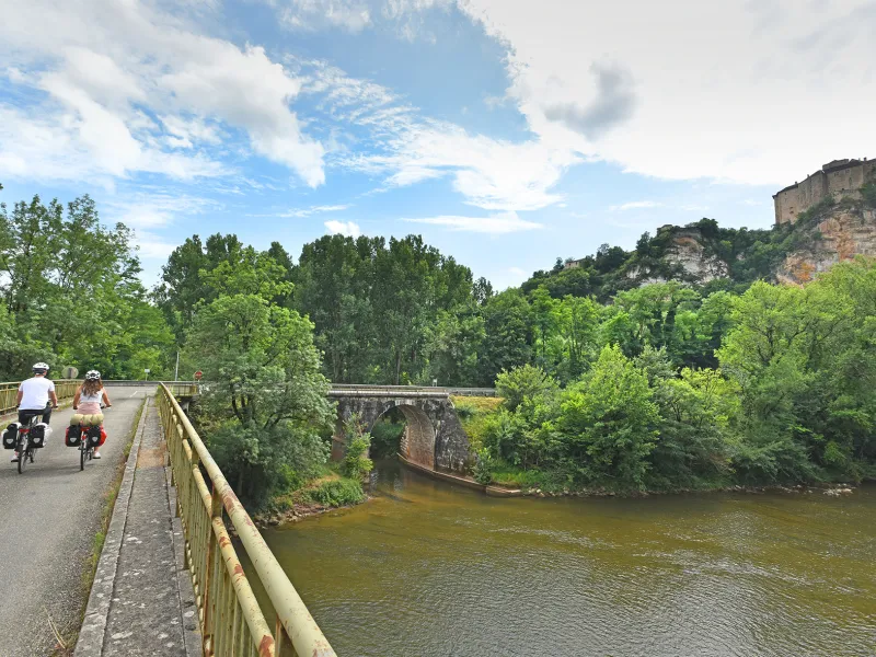
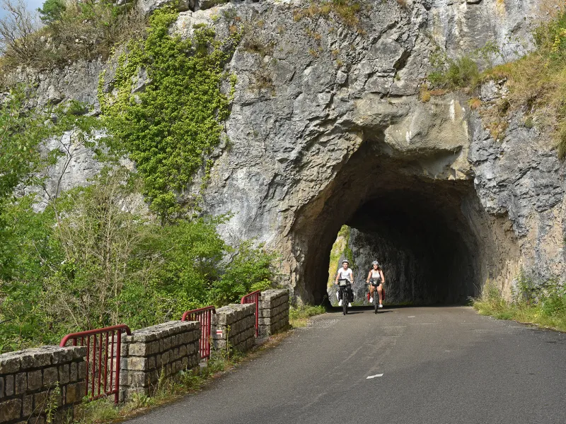
This portion is mainly on quiet country roads, many stretches running beside the river. Take care on the part along the D115 road, which often proves very busy along a one-kilometre stretch at the level of Bruniquel. There follows a steep slope shortly afterwards, taking you up to Brousse (with its views), before joining the path beside the Aveyron, leading to the entrance to the small town of Saint-Antonin-Noble-Val.
Links
There are signposted Circuits du Pays Midi-Quercy to follow, departing from Cazals or Saint-Antonin-Noble-Val.