Seaside
32,86 Km
2 h 12 min
I cycle often
32,86 km cycling route from St-Molf to Guérande
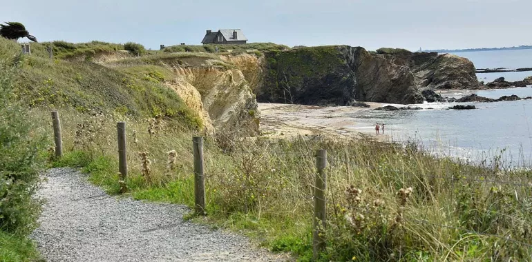
Between St-Molf and Quimiac, this stage goes via a series of little canals serving extensive salt marshes, sometimes giving you the impression that you’re riding on water! Not to be missed: the Pointe de Mesquer Headland and two detours, one to the Petite Cité de Caractère of Piriac-sur-Mer, the other to the port of La Turballe. Then you arrive at the splendid fortified medieval town of Guérande.
Elevation of the stage
81 m 119 m
Waytypes of the stage
Cycle path: 6,30 km By road: 24,89 km Provisional itinerary: 9,74 km
Surface of the stage
Smooth: 26,74 km Rough: 4,46 km
Cycle route
This stage is signposted ‘Vélocéan’. Most of the way is along shared roads.
There are cycle lanes along the Domaine de Villeneuve (at Piriac-sur-Mer), in Mesquer, and to cross the D 33 road a bit before Coispéan.
Links
Piriac-sur-Mer can be reached by taking a 14km round trip from the junction with the Vélocéan route.
There is also a 20km cycling circuit by which to discover La Turballe.
Tourist offices
- Mesquer-Quimiac : 02 40 42 64 37
- Piriac-sur-Mer : 02 40 23 51 42
- La Turballe : 02 40 23 39 87
- Guérande : 0820 150 044
Don’t miss
The Pointe de Pen-Bé Headland; the salt-marsh canals around Mesquer-Quimiac; Piriac-sur-Mer, designated a Petite Cité de Caractère; the port of La Turballe; Pointe de Pen Bron Headland (laid out for cyclists); Guérande medieval fortified town


Travellers’ reviews