All stages on Vélocéan cycle route
Vélocéan from Pénestin to St-Molf
©FVT - F. Tijou 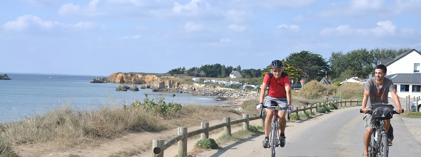
This stage, heading south from the Vilaine Estuary, is classed as being for expert cyclists, with a lot of stretches going along the water’s edge. The Pointe du Bile Headland is a great spot at which to stop and appreciate the maritime atmosphere. As to the Bay of Pont-Mahé, with its gently sloping beach, you’ll see how it’s a favourite for learner windsurfers.
Gradients and elevation
Ascents: 43m
Descents: 53m
Lowest point: 0m
Highest point: 25m
Road types
16km (73%) By road
6km (27%) Cycle path
0.75km (3%) Provisional itinerary
Surface
12km (53%) Smooth
10km (46%) Rough
Don’t miss
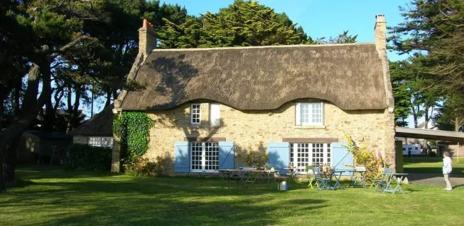
La Mine d’Or Beach; La Pointe du Bile Headland; Pont-Mahé Bay
Not to be missed on this route

Oyster-rearing in Kercabellec Bay
Vers 1880, pour pallier le tarissement des bancs naturels, la culture de l’huître s’est développée en baie de Kercabellec. Avec du beurre au sel de Guérande et du pain, l’huître revigore le cycliste de passage !