Fréjus / Montauroux
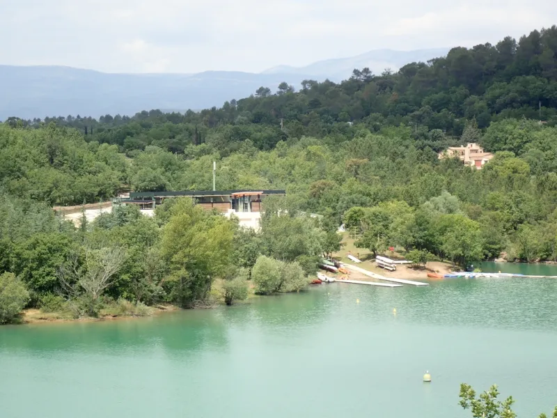
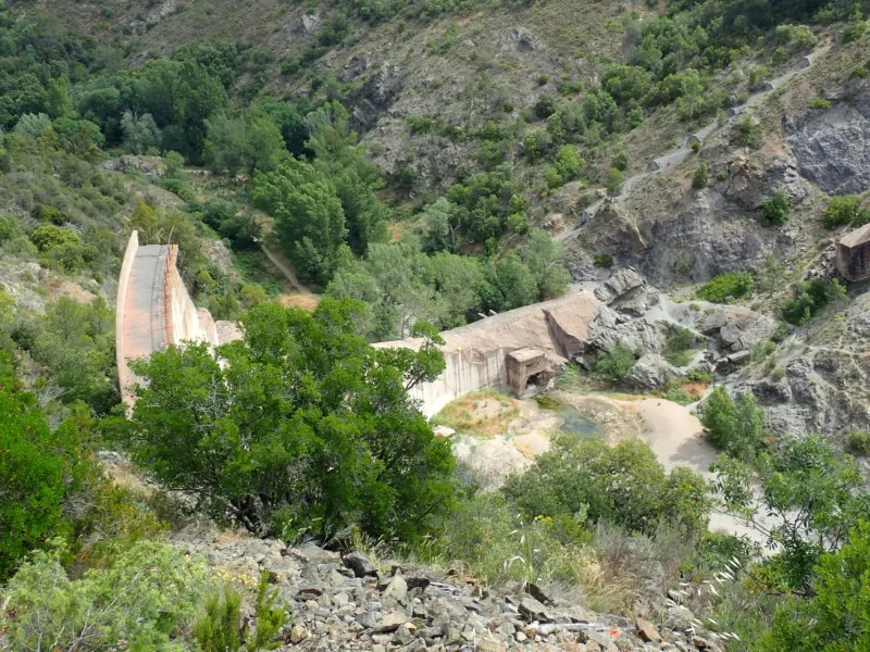
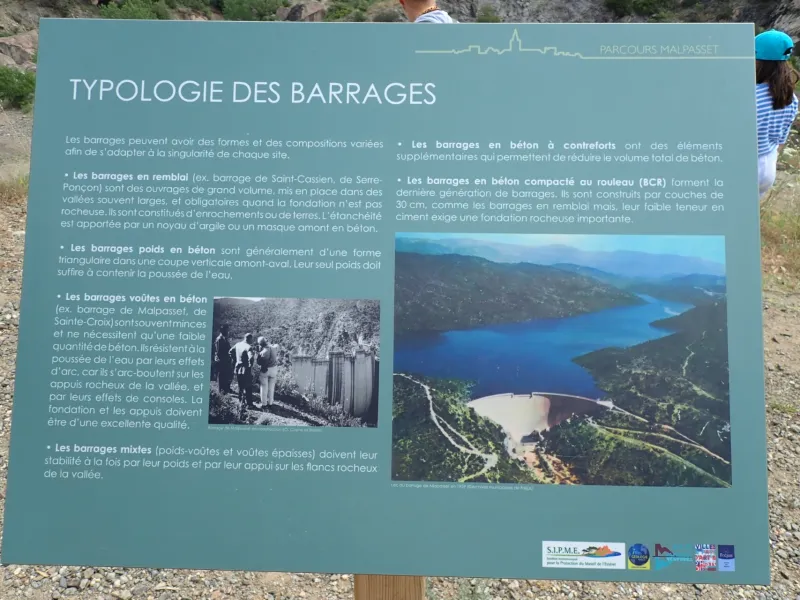
The cycle route takes a distinctly adventurous turn leading you through the Massif de l'Estérel hills, as you shift from the département (county) of Var to that of Alpes-Maritimes. After leaving Fréjus and riding alongside the Reyran River via the Chemin de la Vallée Rose, you continue through the Forêt Communale de Fréjus towards the memorial site at the Barrage de Malpasset, a dam that collapsed in 1959. To climb to St-Cassien Lake, the road gives way to a track, in parts really steep, for which a gravel bike is strongly advised. The lake, initially created for hydroelectric energy production, has become known as a lovely venue for outdoor leisure pursuits, set in exceptional natural surrounds. It’s possible to go for a swim from the beach in the parish of Tanneron. The place offers a much-appreciated refreshing stop before rejoining the Méditerranée à Vélo at Montauroux.
The Route
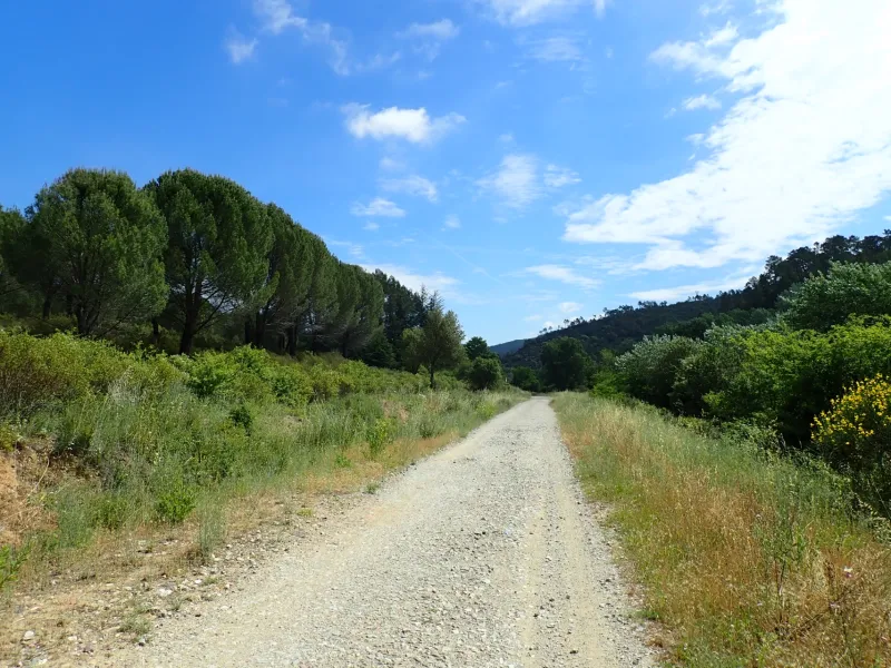
No signposting from Fréjus to Montauroux, where cyclists then join La Méditerranée à Vélo - EuroVelo 8 cycle route. This stretch has not been laid out specially for cyclists and is only suitable for seasoned riders. It is not suitable for families. Given the surfacing on the driveable parts and on the rougher paths, we strongly recommend you have a suitable bike: a touring bike with knobbly or studded tyres (min. 650x32); a gravel bike (min. 700x35); or a mountain bike.
From Sainte Léonce Cathedral in Fréjus, take Rue Desaugiers (a one-way street), then Rue Reynaude up to the junction with Rue du Dr. Turcan. Turn left along this street, then head straight on, crossing two round-abouts, continuing along Rue Gustave Bret up to the next round-about. Here, take the 4th exit, along Ave. de l’Agachon. After 250m, turn right to follow the Chemin de la Vallée Rose along the Reyran River.
After following the Reyran River for 3km, as it’s not possible to take a bike across the road bridge here, turn right along a simple track to follow the road at its base. You emerge to join the road a bit before a round-about; take the 2nd exit, then turn immediately left on the D37 road towards the Route de Malpasset.
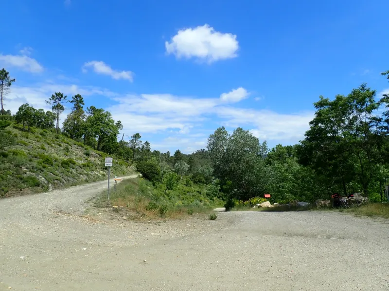
Continue to the Site de Malpasset, passing under the motorway, climbing along a DFCI track, the Piste d’Ambon. At the summit, you leave behind this Piste d’Ambon to rejoin the Route de Malpasset, which you then leave at the level of a fork in the road, after riding along a pebbly track for c.3km. Turn right, taking the path leading down to the tarmacked D37 road.
Be aware
Access to DFCI tracks (Chemins de Défense des Forêts Contre l'Incendie) is strictly regulated during any drought periods, from June to September, and during periods of strong wind (notably the mistral). Sometimes they can be forbidden to any traffic / circulation. Check the day before you plan to cycle along this stretch, as information is updated daily at 5pm.
Gradients and elevation
Road types
Surface
Don't miss
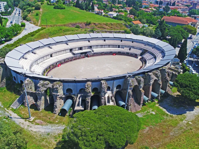
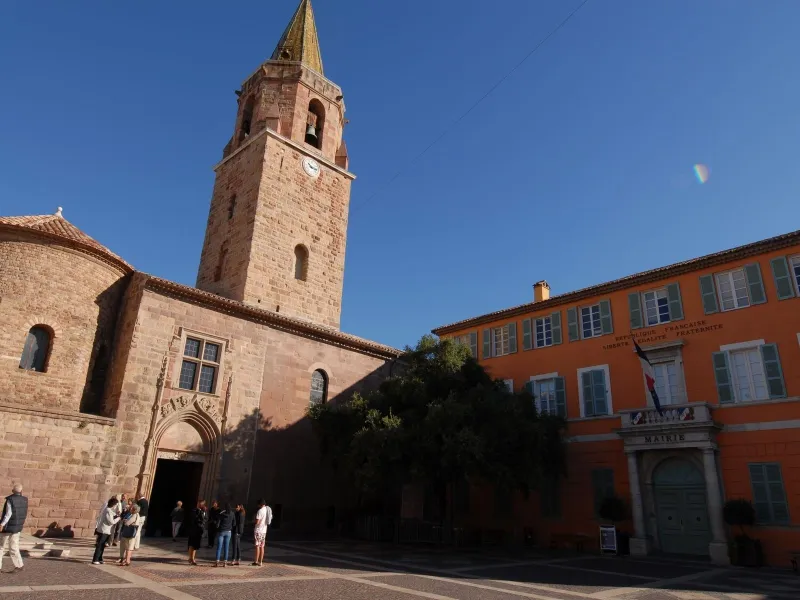
- Fréjus: the bishops’ quarter (Cathédrale Saint-Léonce and cloister); the Roman theatre and amphitheatre; the Chapelle N.-D. de Jérusalem also known as the Chapelle Cocteau; the Villa Aurélienne (late-19th century), the Vivier Romain, an archaeological crypt revealing ancient Roman fishponds; the museums on archaeology and local history; the Massif de l’Esterel hills; the port of Fréjus; the Barrage de Malpasset
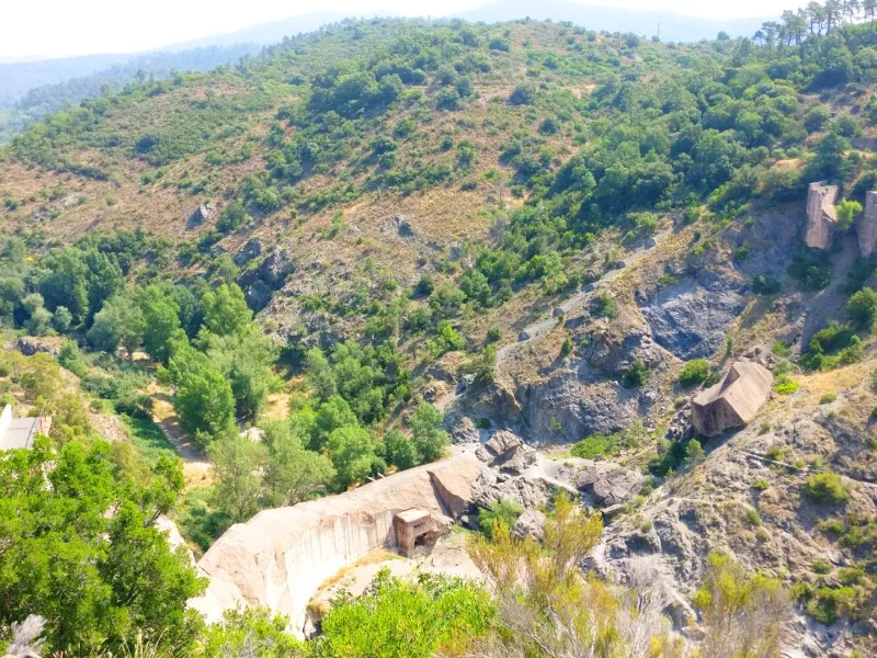
- Site de Malpasset and its history
- Montauroux: Chapelle St-Barthélémy with its painted interiors; Pont des Tuves bridge; the fountains around the village; Les Bambous du Mandarin (a bamboo garden)
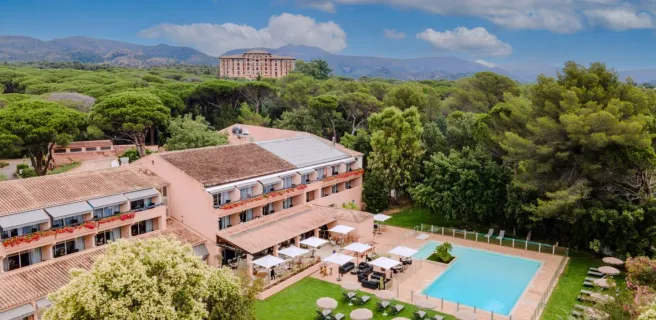
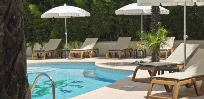
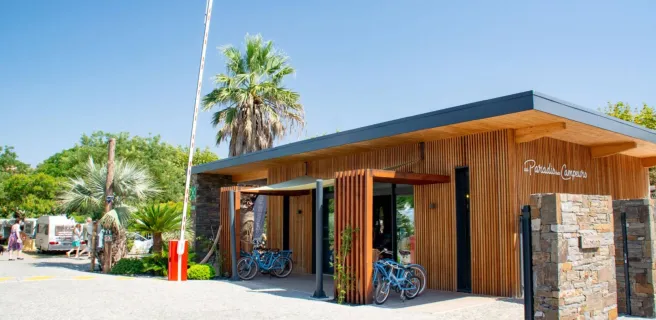
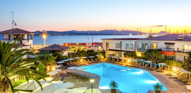
Find your accommodation on this stage


Trains and transport on the route
SNCF train services
- Gare de Fréjus