Grimaud / Fréjus
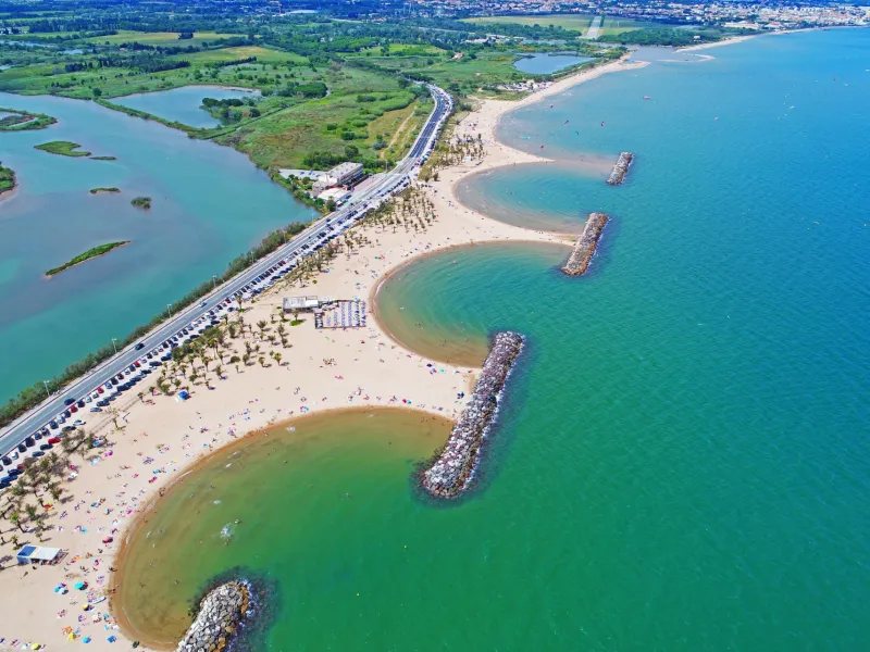
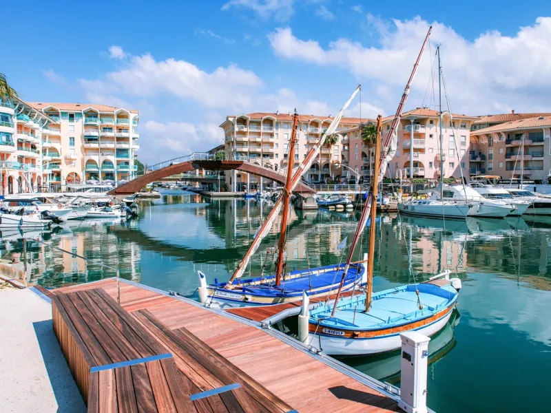
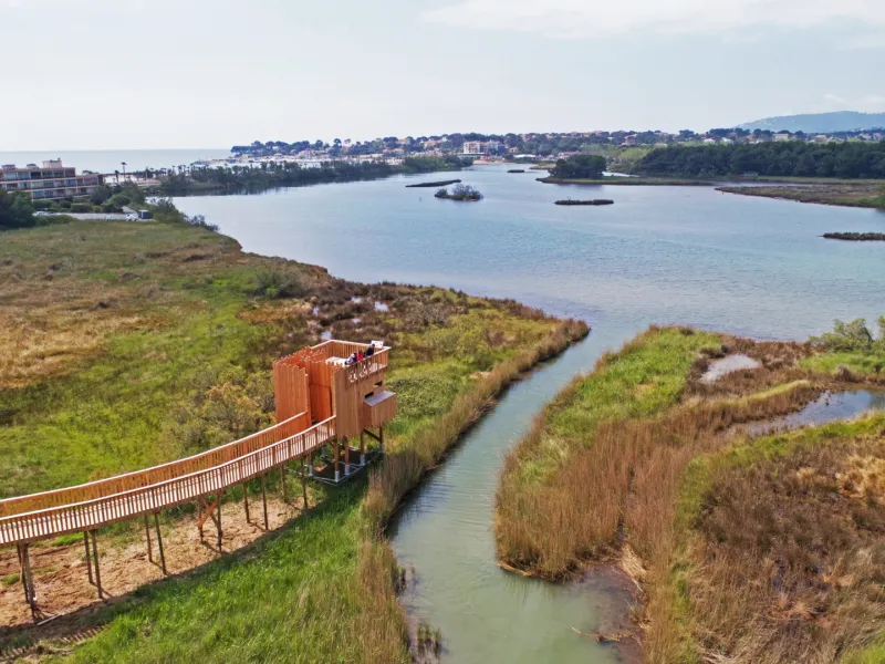
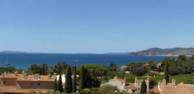
Having gone on foot to explore Port-Grimaud, a town built on water, the Parcours Cyclable du Littoral Varois continues by leading you around the Bay, or Golfe, of St-Tropez. In hot weather, it’s so refreshing taking a dip in the Mediterranean. Arriving at the resort of Ste Maxime, at the level of the Plage de la Croisette (a beach here), the coastal cycle route comes to a temporary halt. You’re led northwestwards along the Préconil River, then eastwards, along a path looking down on the coast. Riders rejoin a former railway track, a balcony of a way, to ride boldly along the Train des Pignes former rail track, the path set between the foothills of the Massif des Maures and the coast road, with panoramic views over the Mediterranean. You arrive at the resort of Fréjus via the Argens Estuary.
The Route
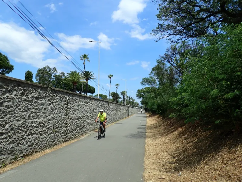
From Port Grimaud, the cycle route leads you along a cycle path running beside the sea and the D559 road, up to Ste-Maxime’s Plage de la Croisette where signposting for the PCL comes to an end. Take care along this stretch, as cars cross the cycle path to get to private properties, car parks and beaches. Be careful at the round-about of the Train des Pignes in Ste Maxime where you have to take a left turn in the midst of traffic in order to follow a route behind the coast to cross the resort.
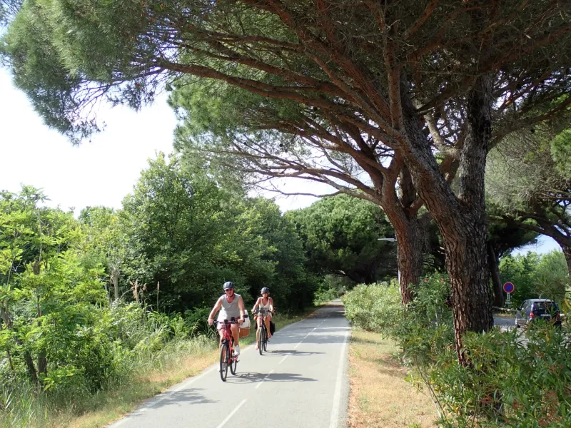
Leaving Ste Maxime, you join the cycle path along the Train des Pignes route, which isn’t signposted but allows you to ride on to the campsite at St-Aygulf.
At St-Aygulf, the cycle route is being laid out at time of writing: opposite the campsite, you need for the time being to turn right onto Ave. du Train des Pignes then, having dismounted, turn left, pushing your bike along the one-way Rue d’Alsace, bringing you out at the cycle path beside the D559 road.
At Fréjus, at the end of the cycle lane turn left along Rue des Batteries, then continue straight on, heading up Rue des Campanettes. Further on, turn right onto Impasse Georges Guynemer, which turns into Rue Georges Guynemer. Next, fork left to reach Avenue d’Argens (on the D559 road) and turn right into this street. At the round-about intersecting with Bd. de la Mer (D98B), follow signs for Fréjus Centre (3rde exit).
Link
No cycling signposting for Port Grimaud, a town built on a water
Gradients and elevation
Road types
Surface
Don't miss
- Grimaud: the medieval village with château; St Michael’s Church; the Pont des Fées bridge - Port Grimaud: a town built on water, with 2,400 inhabitants
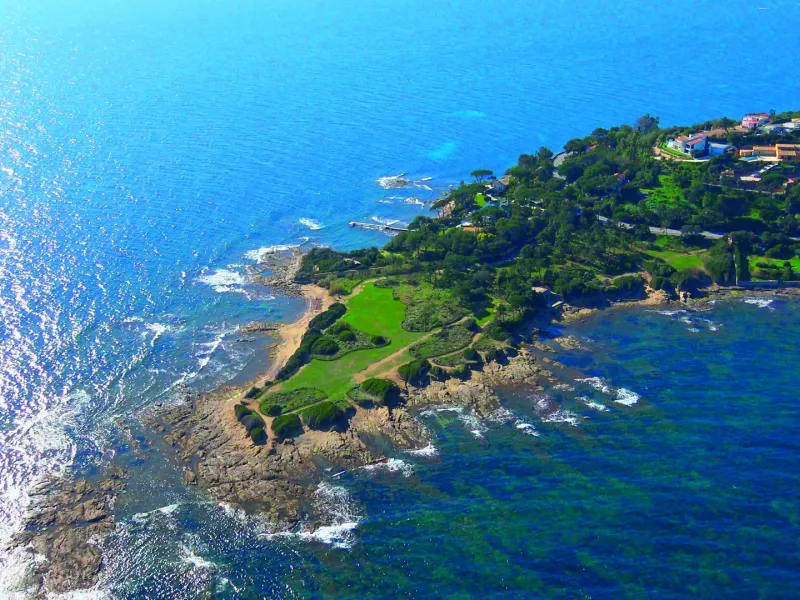
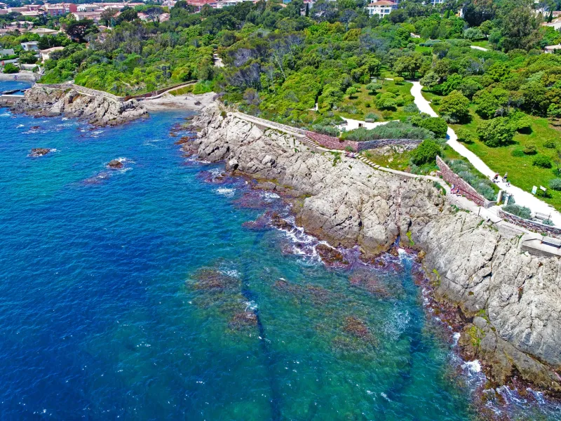
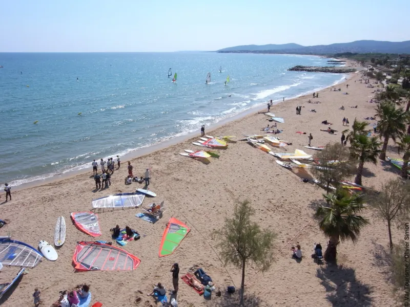
- Ste-Maxime: Pointe des Sardinaux (a headland with beach, nicknamed La Petite Corse); Les Myrtes botanical garden; the pedestrian streets and markets; the beaches
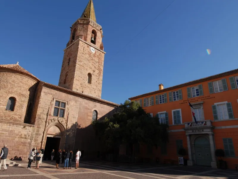
- Fréjus: the Roman theatre and amphitheatre; the Chapelle N.-D. de Jérusalem, also known as the Chapelle Cocteau; the Villa Aurélienne (late-19th century); the Vivier Romain, an archaeological crypt revealing ancient Roman fishponds; the museums on archaeology and local history; the Massif de l’Esterel hills; the port of Fréjus; the bishops’ quarter (Cathédrale Saint-Léonce and cloister)
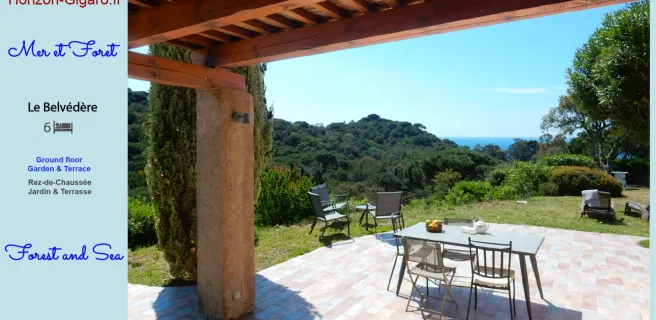
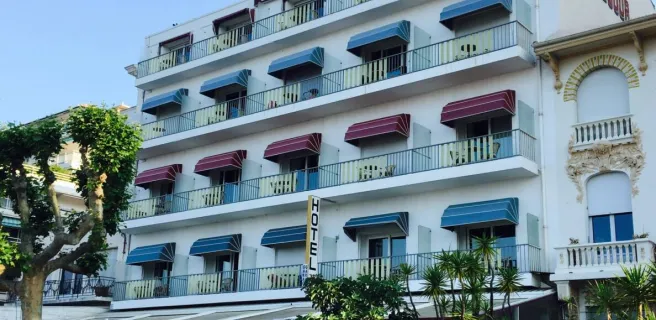
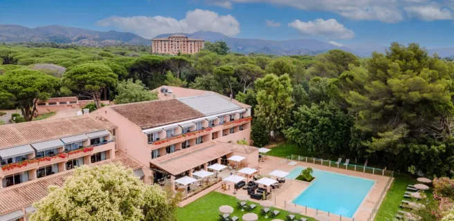
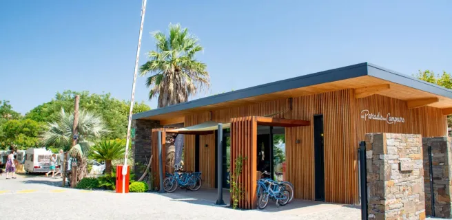
Find your accommodation on this stage
Trains and transport on the route
SNCF train services
- Gare de Fréjus