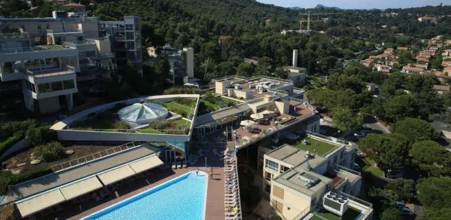
Hyères / Grimaud
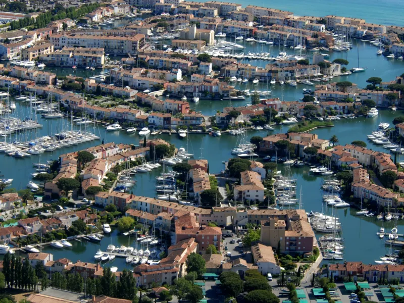
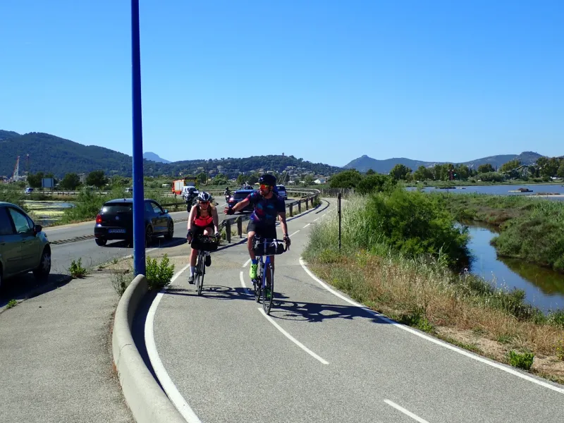
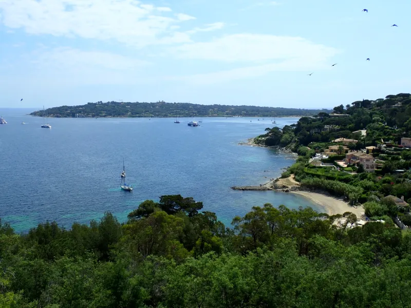
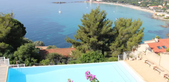
The Parcours Cyclable du Littoral continues alongside Hyères Bay, taking you around the salt marshes before leading you northeastwards towards the Massif des Maures hill range. All along this stage, you’ll greatly appreciate the shade and scent provided by the pines. After La Londe les Maures, you gradually descend along an intoxicating stretch to the resort of Le Lavandou, where you join the former railway track built to serve Toulon-St Raphaël. The cycle route, perched on something of a balcony between the sea, the D559 road, and the hills above, wends its way through rocky terrain, offering majestic views of the Mediterranean and its creeks. After Cavalaire-sur-Mer, a gentle climb to La Croix-Valmer leads you through pine woods to the top of the Massif des Maures range before you descend to Port-Grimaud, a town built on water.
The Route
Continue along the Parcours Cyclable du Littoral which for much of this stage follows the former path of the railway line linking Toulon to St Raphaël. At the level of the port at Hyères, on the D42, works are ongoing at time of writing to redo the road.
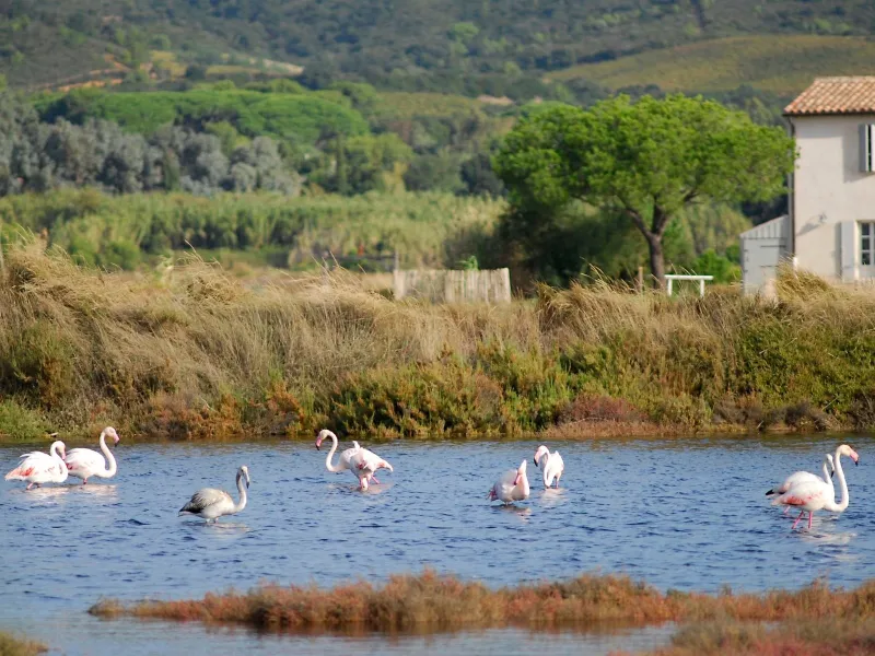
At the level of the mouth of the Gapeau River, turn left towards La Londe les Maures to follow a provisional stretch taking you around the salt marshes of Les Salins. Along the very busy D559A, cyclists may at least appreciate the road’s width. Rejoin the PCL and a lovely stretch of cycle lane after the round-about at the junction of D559A / D12 roads.
From the port of Le Lavandou, continue along the track of the former Train des Pignes (a nickname for the old railway line here) with some narrow stretches and some parts not tarmacked. Leaving the resort of Cavalaire-sur-Mer, the cycle path runs out as you climb towards La Croix Valmer.
Between La Croix Valmer and Port Cogolin: take care riding along the cycle lane along the D559, as there’s a break in this cycle lane, with vehicles coming out at the level of the Gassin garage, while 200m further on, tree roots have damaged the asphalt surface.
Please note: the cycle lane stops abruptly at the traffic lights at the junction of the D98 and D98A; continue straight on before taking the first exit to the right at the level of Port Cogolin.
Links
No signposting in place if you wish to head by bike to the Plage du Canadel, one of the beaches used for the Allied landings in Provence in August 1944, during World War II.
Signposting in place at Port Cogolin indicating the way to St-Tropez by bike, but the same sign indicates, wrongly, that you can take the same route for the resort of Ste Maxime. Note that there is no signpost at the level of the junction of Rue de la Plage and the D98A road. Cross towards the left and towards the cycle path.
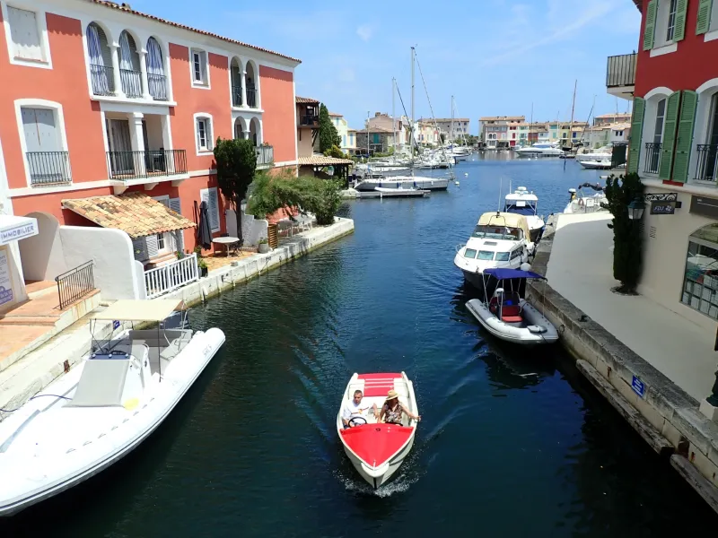
No signposting for cyclists around Port Grimaud, a town built on water.
Gradients and elevation
Road types
Surface
Don't miss
- La Croix-Valmer: Roman villa
- Bormes-les-Mimosas: guided tour of the Fort de Brégançon (a French presidential seaside residence); the circuit pédestre, or walking circuit, around the village
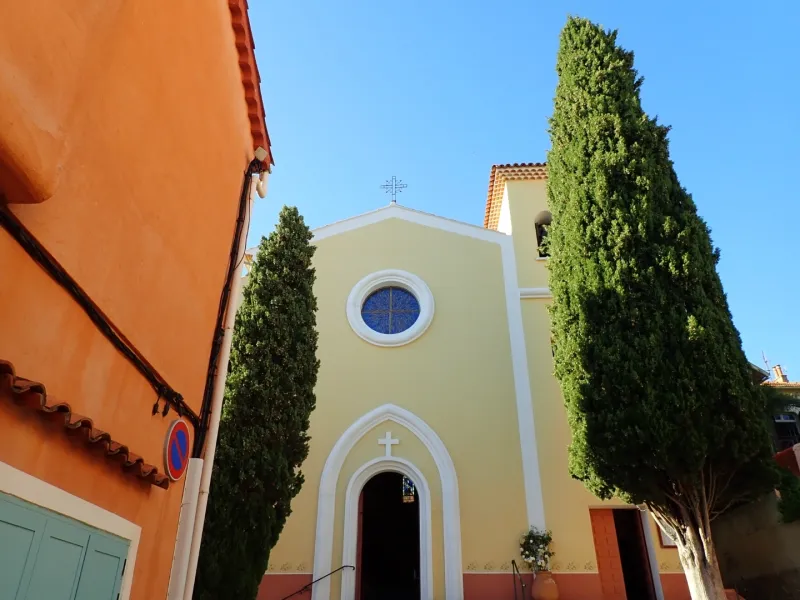
- Le Lavandou: St-Louis Church; diving, as the area is a joy for underwater exploration
- Le Rayol-Canadel-sur-Mer: Le Rayol Garden; one of the beaches where Allied forces landed to liberate Provence from the Nazis in August 1944
- Cavalaire-sur-Mer: Sentier du Fenouillet (a walking trail for discovering the local flora)
- Grimaud: the medieval village with château; St Michael’s Church; the Pont des Fées bridge - Port Grimaud: a town built on water, with 2,400 inhabitants
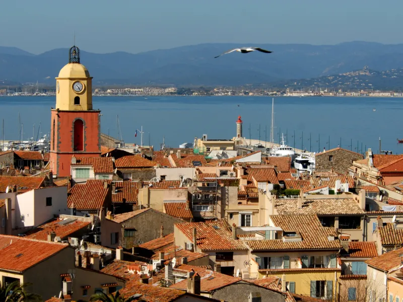
- Nearby (reachable via cycle link): the iconic resort of St-Tropez
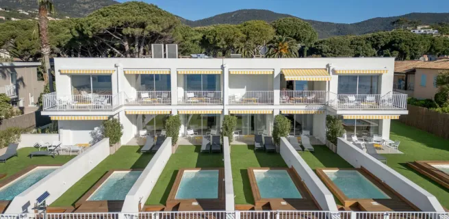
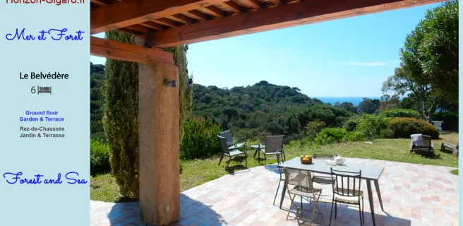
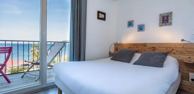
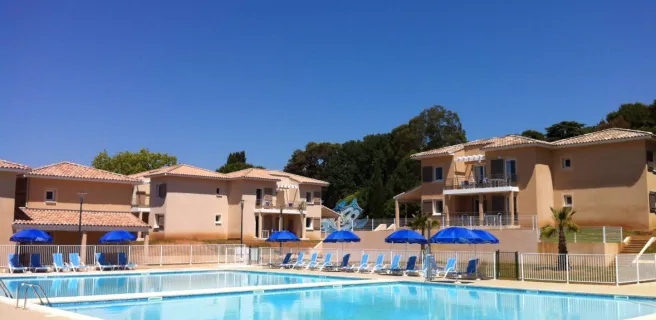
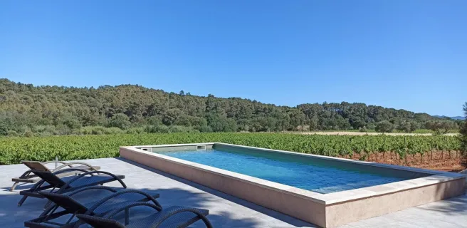
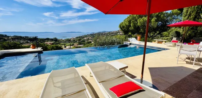
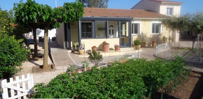
Find your accommodation on this stage
Trains and transport on the route
SNCF train services
- Gare de Hyères