Sanary-sur-Mer / Hyères
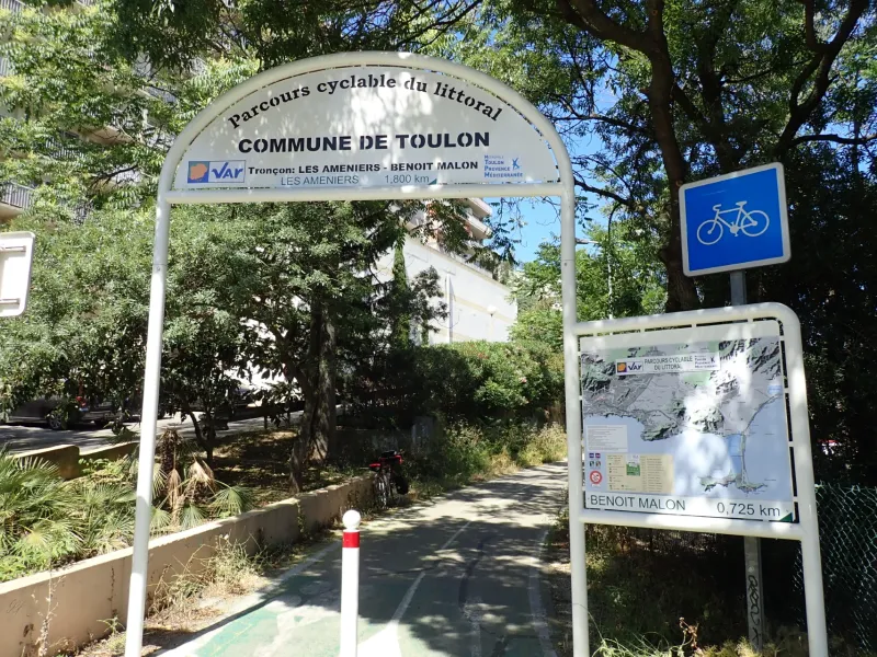
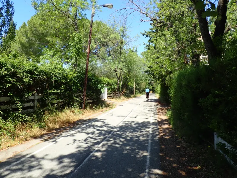
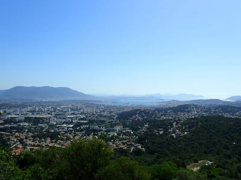
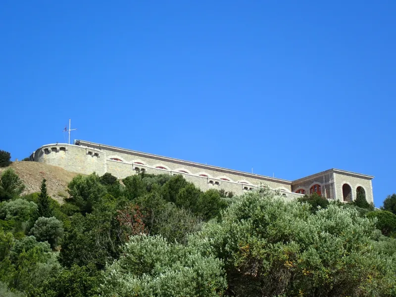
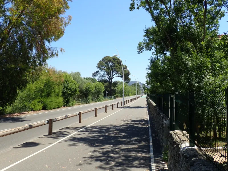
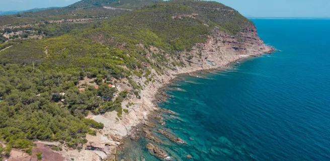
This first, western stage along the Parcours Cyclable du Littoral Varois (often abbreviated to the PCL) begins at the picture-postcard port of Sanary-sur-Mer. Feel the joys of cycling in the South of France, with cooling dips in the sea possible. To take in the entire view across the Bay, or Rade, of Toulon, you need to tackle the slope up to the level of the military fort of Six-Fours, known as the eyes and ears of the Mediterranean! After Toulon, this stage provides plenty of discoveries, the cycle route following the well-shaded trail of the former railway line linking Toulon to St Raphaël, with few slopes to tackle. The Route du Sel (or Salt Route), closed to car traffic in winter, proves a delight for cyclists wishing to explore the Presqu’île de Giens, a splendid peninsula. If tempted by the islands just offshore, ferries provide links to the Îles de Porquerolles so close by!
The route
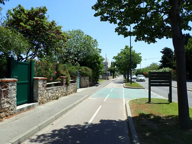
Follow signposting for the Parcours Cyclable du Littoral. This stage is mainly along cycle paths. There are short stretches along cycle lanes too. Take care on the portions where the cycle route comes to a temporary end. In Six-Fours-les-Plages, on the cycle lane along Ave. du Maréchal de Lattre de Tassigny, take particular care at the level of the carwash, with cars tuning out onto the road.
Section undergoing work at time of writing: a cycle lane is being created at the level of the townhall, or mairie, in Six-Fours-les-Plages. At the round-about where the D559 and D26 roads meet, make sure you take the right-hand turn onto the cycle lane leading along the Ave. des Anciens combattants d’Indochine towards Toulon.
Alternative section along the coast
For experienced cyclists, there’s an unsignposted alternative route along roads – at the Stade Mayol in Toulon, follow the direction of Le Mourillon (Toulon Plages), then stick to the coast road, with beaches below, up to the La Garde round-about. At this round-about, turn left onto Bd. du Dr. Bourgarel to then rejoin the PCL and continue on towards Hyères.
Links
No signposting in place between Sanary-Ollioules train station and the port of Sanary-sur-Mer
Signposting in place from the Bay of Sanary up to the Batterie du Cap Nègre gun post
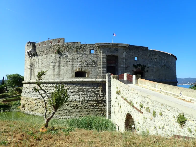
No signposting in place to tackle the slopes up to the Fort de Six-Fours, but take a left on to the Montée du Fort or then La Traverse du Verger
Signposting in place at the level of La Garde - Le Pradet to go and explore the Espace Nature Départemental du Plan.
At the level of the Presqu’île de Giens, where the Routes du Sel et des Marais (the Salt and Marshes Routes) meet, there’s a link towards Hyères Station and Hyères town centre
Gradients and elevation
Road types
Surface
Don't miss
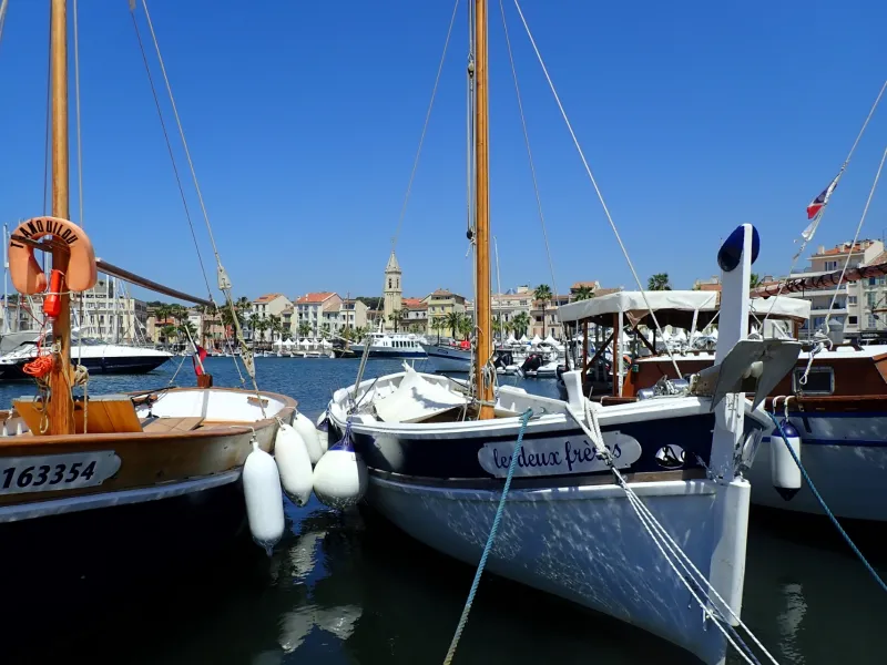
- Sanary-sur-Mer: the port; the beach; the Baie de Sanary; the seafront market
- The gun battery of Le Cap Nègre, accessible via a signposted cycling link from the Baie de Sanary
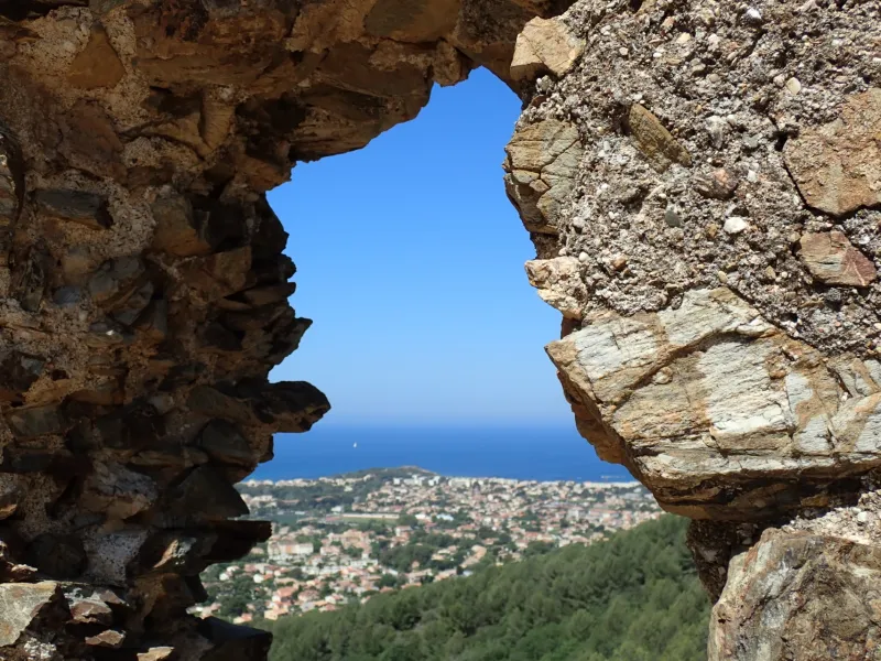
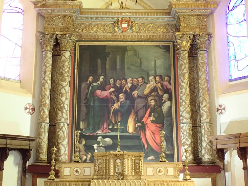
- Six-Fours-les-Plages: the fort; the collegiate church of St Peter
- La Seyne-sur-Mer: the port; the site of Les Forges et chantiers de la Méditerranée, an historic boat-building company; Les Sablettes Beach
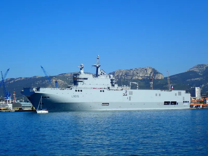
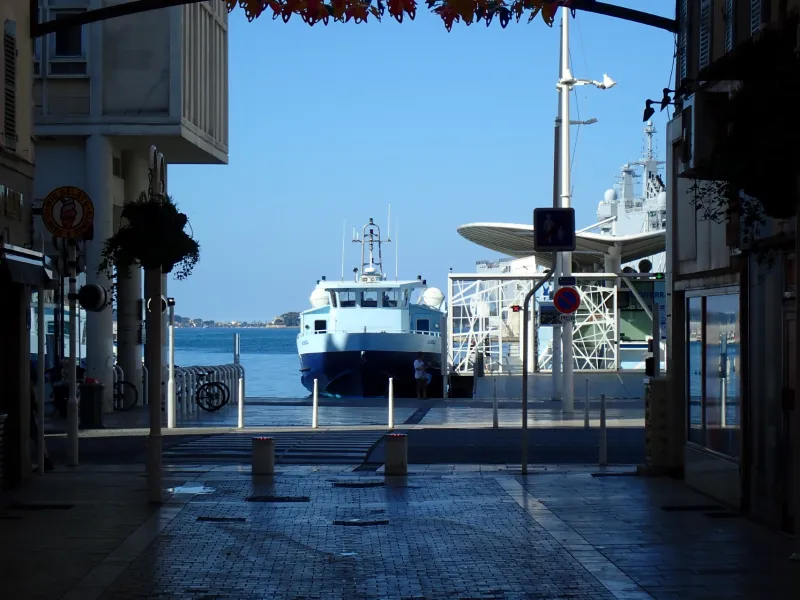
- Toulon: the bay, or rade; the naval base; MAT (Musée d’Art de Toulon); Place de la Liberté; the markets; the fountains; Mayol Stadium; Le Mourillon Quarter; Tour Royale
- Cap Brun and the Anse Méjean, a bay
- La Garde and Le Pradet: Espace nature départemental du Plan
- Carqueiranne: the port of Les Salettes; the Plage des Pins Penchés, a beach
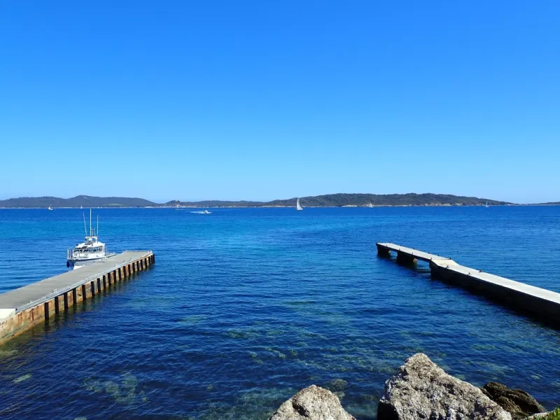
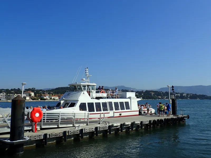
- Presqu'île de Giens: Giens resort; the Tour Fondue (a major coastal battery); the islands known as the îles d’Hyères and the île de Porquerolles (all accessible by boat services)
- Close by (via cycling link): Hyères town centre and train station
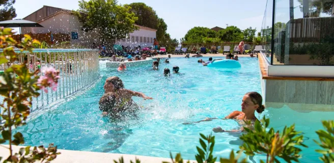
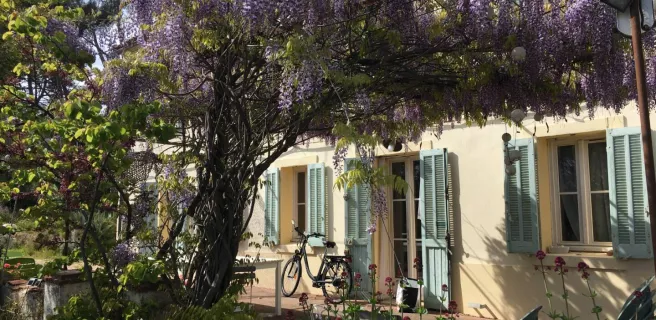
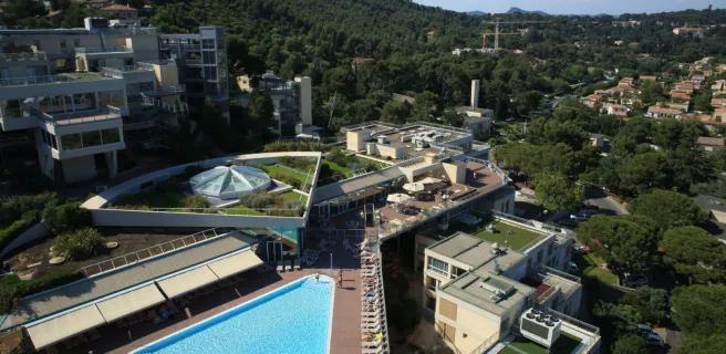
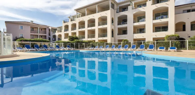
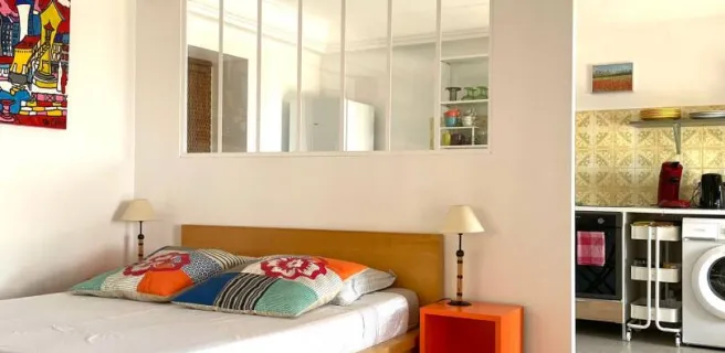
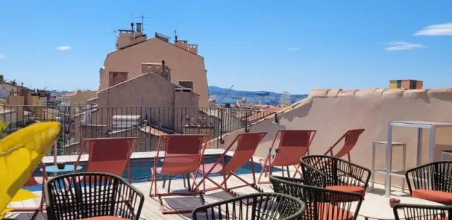
Find your accommodation on this stage
Trains and transport on the route
SNCF train stations
- Gare de Sanary-Ollioules
- Gare de La Seyne-Six-Fours
- Gare de Toulon
- Gare de La Garde
- Gare de Hyères
Ferry links
- The réseau Mistral is a network of three maritime ferry services from Toulon allowing users to reach La Seyne-sur-Mer, Les Sablettes and the Presqu’île de Saint-Mandrier by sea. Bikes are allowed on at the back of the deck and there is no extra charge for them. Price of ferry trip: €2 at time of writing.