Mountains
53,68 Km
4 h 00 min
53,68 km cycling route from Die to Valdrôme
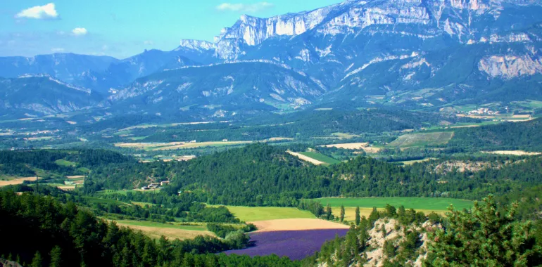
The Diois area certainly won’t provide you with a flat cycling stage! In fact, its charm comes from the contrasts between its steep-sided valleys, plateaux and mountains. Riding along, you can appreciate its varied attractions to the full. Leading you via unspoilt ways through pine forests, this stage of the P’tites Routes du Soleil® provides cyclists with an enchanting outing. From the banks of the Drôme River to the vine-clad slopes of the Pays de la Clairette area, picture-postcard scenes follow in quick succession, beautified by lavender, vineyards and walnut orchards.
Elevation of the stage
566 m 964 m
Waytypes of the stage
By road: 53,68 km
Surface of the stage
Smooth: 53,68 km
Don't miss:
- Le Claps: the vestiges of a spectacular rockfall, south of the village of Luc-en-Diois. The place presents chaotically beautiful scenery, rock climbers and wild swimmers enjoying the possibilities here, among the impressive stone blocks and scree.
- Châtillon-en-Diois: a member of the association Les Plus Beaux Villages de France, this place with its medieval façades and sloping vineyards warmed by the sun below the south side of the Vercors stands at the midpoint of a triangle of larger towns, Valence, Montélimar and Gap.
- Valdrôme: the most southerly of the high little resorts in the département, or French county, of Drôme, on the border with the neighbouring county of Hautes-Alpes, located between 1,300m and 1,730m in altitude, in a splendid setting 7km from the old village. This is a place to get away from it all, appreciating the enchanting natural setting.


Travellers’ reviews