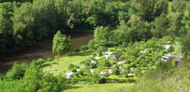
Capdenac-Gare / Flagnac
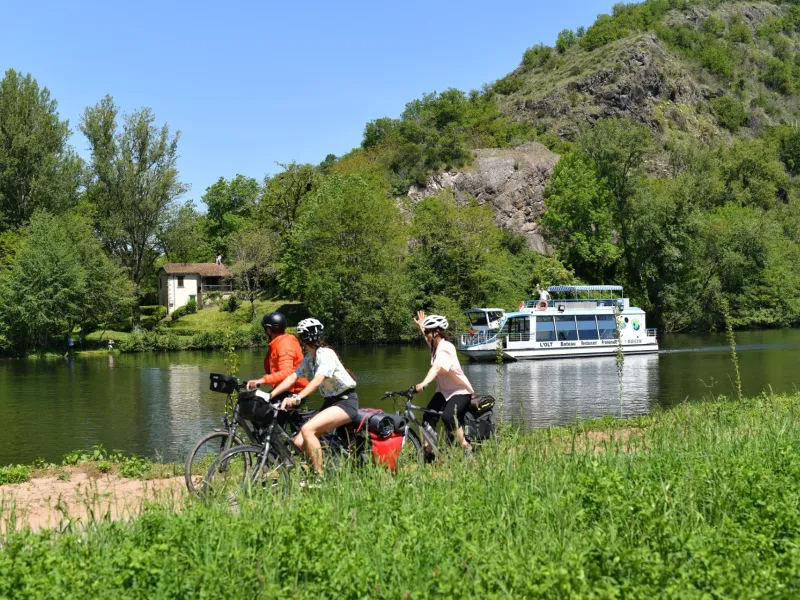
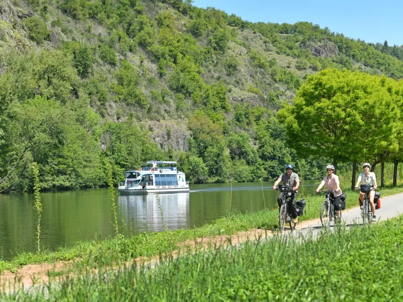
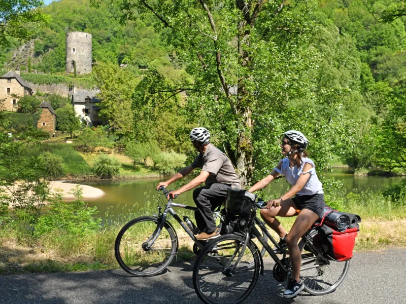
From Capdenac-Gare, we cycle away from the Lot towards the villages perched on the banks of the Diège river. A hint of authenticity emanates from the gradients. Before plunging down to the river for a majestic finish on the greenway that runs alongside the Lot from Bouillac to Flagnac. At the Livinhac bridge, a signposted alternative route leads to the village of Livinhac-le-Haut and its services, as well as the connection with the Cantal cycle route: La Grande traversée du volcan à vélo (V74).
The cycle route
Take the same route out of Capdenac-Gare. At the traffic circle with the D 86, join the D 558, a winding road with moderate traffic that runs alongside the Diège, with a slight gradient as far as the Trois-Eaux bridge. Follow the D40, a small, winding road with steep gradients approaching Asprières and descending steeply to Saint-Martin-de-Bouillac.
Several passages with gradients > 5%.
Variant signposted on the right bank via Livinhac-le-Haut and the link with the V 74 to Aurillac La Grande traversée du Volcan à vélo.