Plouguerneau / Landéda La Littorale
10,11 km cycling route from Plouguerneau to Landéda
Elevation of the stage
Waytypes of the stage
Surface of the stage
The route
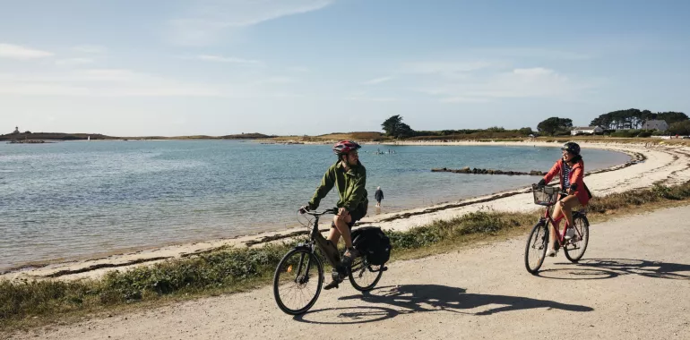
From the centre of the little port of Plouguerneau, ride down through town to the sea. Our cycle route then follows the contours of the coast, on roads shared with light, motorized traffic. Along the way, there are many spots from which to admire the wider Aber Wrach area, with mighty lighthouses and an archipelago out to sea. Consider leaving your bike at the various junctions with the national GR® 34 hiking path – also called the Sentier des Douaniers (or Coast Guards’ Trail) – to walk along sections of path leading to the tips of the string of headlands around Plouguerneau.
Take care riding from the Chapelle du Traon to Lannilis, as the cycle route meanders along a narrow, busy road shared with motorized traffic. Once over the Pont de Paluden bridge, there’s a fair climb to reach the town of Lannilis before joining a busier road again. Between Lannilis and Landéda, there’s a mix of stretches specially laid out for cyclists and of roads shared with motorized traffic, generally light.
Link to Brest
When you arrive in Landéda, you can leave La Littorale and head for Brest via Plouvien and Plabennec (37 km and 175 m ascent).
You can download the GPX track for this link below (Link n°1).
Practical information
- Abers Tourisme : 1 rue Jean Tromelin 29870 Lannilis - 02 98 04 05 4
- Abers Tourisme : Place de l’Europe 29880 Plouguerneau.
- Abers Tourisme : Port de l’Aber Wrac’h 29870 Landéda 02 98 04 70 93
https://www.abers-tourisme.com/
Don't miss
- l'Île Vierge: climb the highest lighthouse in Europe
- Pass via the Pointe du Castel-ac'h for a view of the lighthouse
- Views from the Beg-an-Toul Headland
- Aber-Wrac'h: views from the Sémaphore
- Landéda: Le Brouennou Marsh and its vegetable gardens (potagers in French); the Pointe du Vill, a headland surrounded by oyster-farms (ostréiculteurs in French)

Travellers’ reviews