L'Argentière-la-Bessée / Embrun
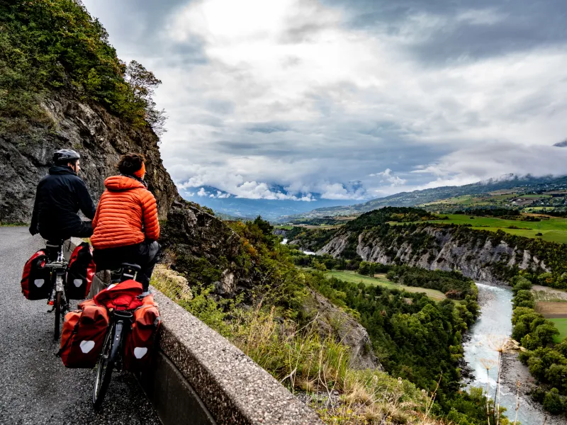
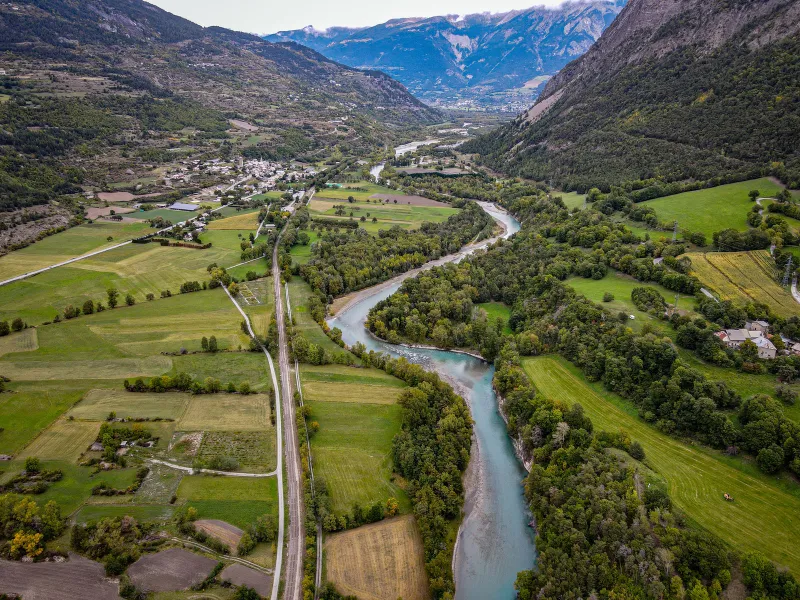
After L'Argentière la Bessée, launch yourself on a physically demanding stretch, the Montée de Pallon. Turning back isn’t an option! This may be a very demanding climb, but it takes you high above the Durance, enabling you, through sheer effort, to discover the Biaysse Valley and the wild foothills of the Parc National des Écrins. Riding below snowy peaks, mountain streams and pines line the road on your beautiful descent to Mont-Dauphin, a fort perched at the entrance to the Queyras area. Next, the small town of Guillestre offers a jolly place for a stop, built beside lively waters. Continue alongside the Durance to the little city of Embrun, following the river’s meanders, passing hot springs, enjoying the final slopes, Serre-Ponçon Lake coming into view at the end of the stage, with the Pic de Morgon providing the mountain backdrop.
The cycle route
The climb to Pallon via the D138A road is pretty brutal – almost 2km on slopes at a gradient of over 10%, along a narrow way. Once over the pass (col), enjoy the panoramic descent, views opening up across the Durance Valley and the summits of the Queyras area. Then stay on the road perched on the west bank of the Durance, riding along a quiet stretch up to Réotiers. After St Clément, take care crossing the major N94 road to join the perched road going via Saint-André d’Embrun, leading you to the little city of Embrun.
Gradients and elevation
Road types
Surface
Don't miss
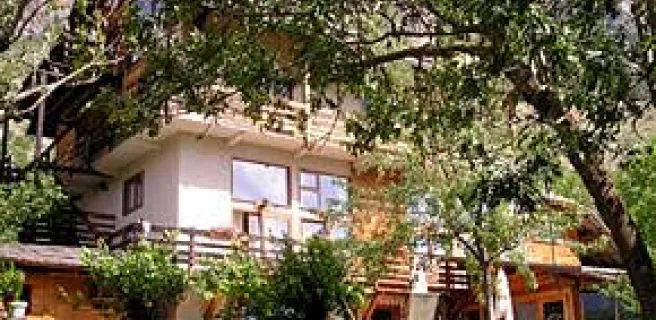
- L’Argentière-la-Bessée: a gateway into the Parc National des Écrins, a French national park; the Plan d’eau, or lake; the section for white-water rafting; hiking trails (including to the Fournel Valley and the Deslioures Reserve); the former silver mine open to visitors; all told, a lively, practical stop, with train station, services and accommodation suitable for cyclists.
- Pallon: a demanding but splendid climb, affording cyclists access to the Biaysse Valley, in particular passing via the perched hamlet of Dormillouse and an entrance to the Parc National des Écrins, offering many hiking possibilities.
- Table d’orientation de Freissinières: from this viewing point, you get unbroken views onto the exceptional Freissinières Valley and its surrounding peaks.
- Guillestre: a lively little town, many of its buildings built out of pink marble; start point for rafting outings on the Guil River (organised by local companies).
- Réotier: hot thermal springs and spectacular mineral deposits.
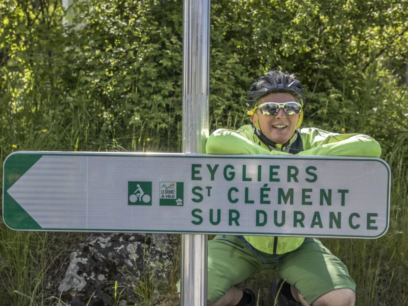
- Plan d’eau d’Eygliers: a lake where you can go for a refreshing dip in summer.
- Mont-Dauphin: a village fortified to designs by Vauban and hence part of a dedicated UNESCO World Heritage Site.
- Embrun: the historic town centre; the cathedral; the medieval streets; café and restaurant terraces; the Provençal-style market; views down over Serre-Ponçon Lake.
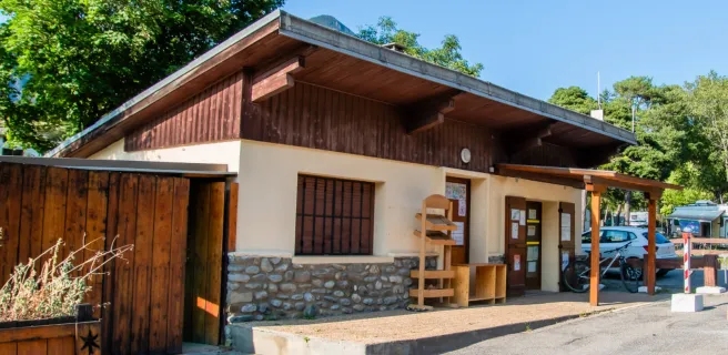
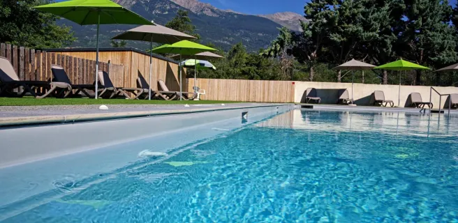
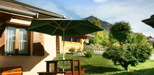
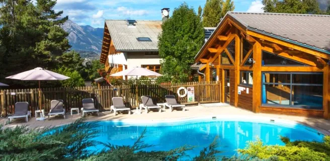
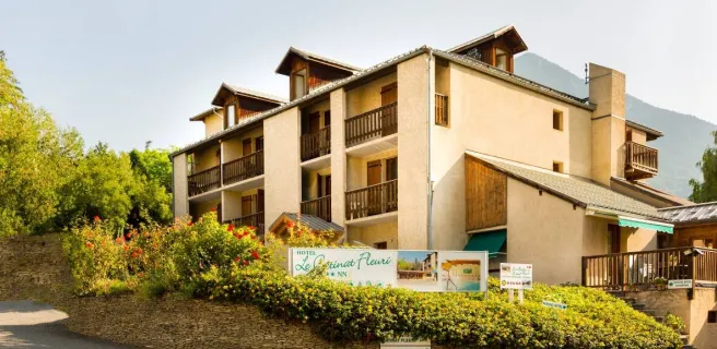
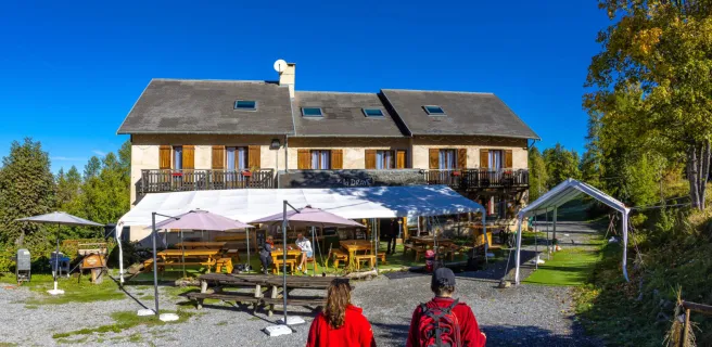
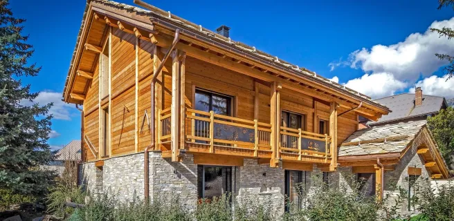
Find your accommodation on this stage


Trains and transport on the route
Train stations :
- L’Argentière-la-Bessée
- Mont-Dauphin - Guillestre
- Embrun
Train lines :
- Regional train lines (TER) : Briançon – Marseille ; Briançon - Valence ; Briançon - Grenoble
- Intercités de Nuit (Night trains, or sleepers): Paris-Austerlitz → Briançon → With sleeping carriages offering bunk beds (couchettes) and carriages for storing your bike(s) (you must book your seat(s) and space for your bike(s) in advance).