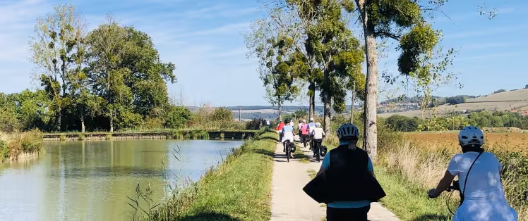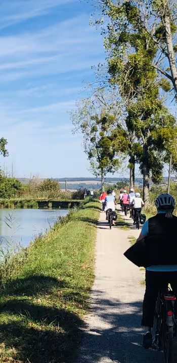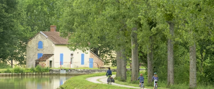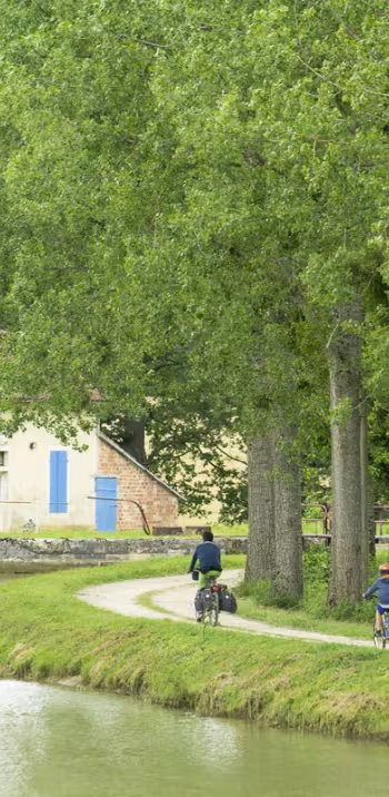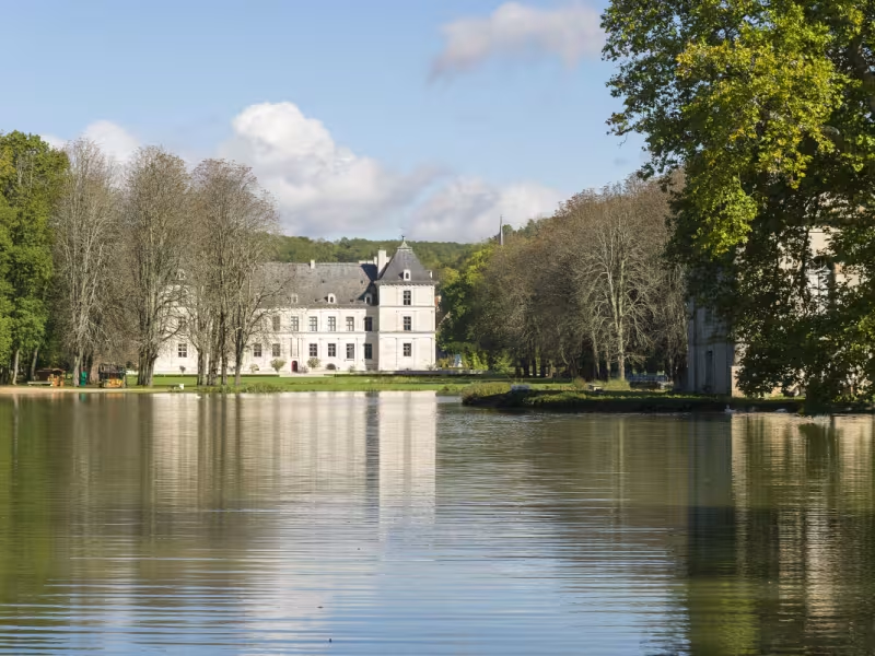
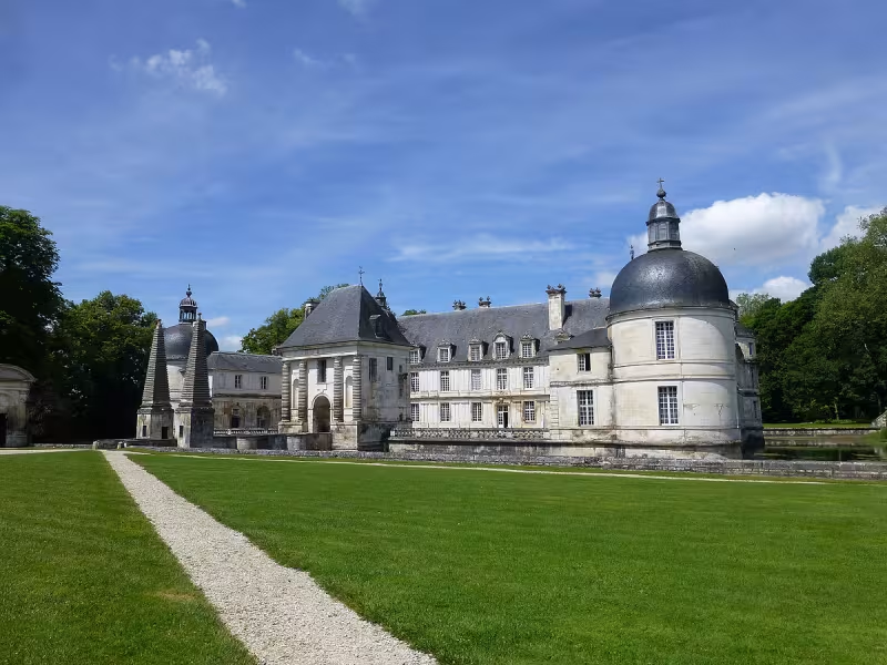
This stage of the Burgundy Canal by Bike is on a greenway laid out along the towpath. After Ravières, the valley route is quite wild, set between wooded banks. Don’t miss the Grande Forge, one of the finest vestiges of France’s industrial past, at Buffon, where Armançon and Brenne Rivers merge. Go via the Brenne to see the interesting town of Montbard.
Route details
Once you reach Cry-sur-Armançon south of Ancy-le-Franc, the greenway is unbroken up to Montbard.
Gradients and elevation
Slope breakdown
Road types
- Cycle path
- Routes reserved for cyclists and pedestrians (greenways, cycle tracks, towpaths), separated from cars for maximum safety.
- Shared road
- Quiet minor roads with little traffic (unless otherwise stated in the stage details). Shared with cars (stay alert).
- Not specified
- Data unavailable or being assessed. Please refer to the detailed stage description.
- Provisional
- Section on a road or cycle path awaiting better-quality facilities (see stage details).
Surface
- Smooth
- Asphalt, tarmac or smooth concrete. Optimal comfort.
- Rough
- Fine gravel, compacted stabilised surface or worn tarmac. Less comfortable, vibrations possible.
- Natural
- Dirt, grass, roots or stones. Under 5%: short sections with little impact. Higher percentage: route suited to mountain or gravel bikes only.
- Not specified
- Data unavailable or being assessed. Please refer to the detailed stage description.
Don't miss
Ancy-le-Franc: the Renaissance château with its remarkable paintings, with visits possible April to November, tel: 03 86 75 14 63 – ceramics museum – Chassignelles: church and washhouse - Nuits-sur-Armançon: 16th-century château, with exhibitions, open to visitors April to November - Ravières: the medieval village – the church, Sainte-Anne Chapel and washhouse - Cry-sur-Armançon: a pleasant river port – church with an 11th-century crypt - washhouse – 16th-century bridge – Buffon: La Grande Forge historic industrial sight, tel 03 80 92 10 35 – Montbard: an interesting town, good for a stop-over - Musée de l'Ancienne Orangerie – the Buffon Park – the Fine Arts Museum.
Markets
Ancy-le-Franc: Thursday mornings
Montbard: Friday mornings