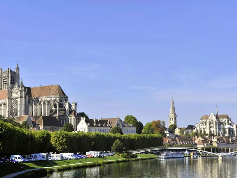
This stage provides the link between the Burgundy Canal by Bike at Migennes and the Nivernais Canal by Bike at Auxerre. It is not an officially laid-out route, but it is lovely, allowing you to go from Migennes to Auxerre by bike without hassle, following the Yonne River closely. The stage doesn’t present any difficulties, but focus on the route, as it isn’t signposted.
Route details
From Laroche-Migennes station, take the underground tunnel towards Rue Paul Bert to join the greenway for Chemilly. The route then alternates between roads and tracks between the Yonne River and the small canal to Chemilly. Careful of traffic on the outskirts of Auxerre. There are no major difficulties along this route but it requires a mountain bike.
Gradients and elevation
Ascents: 16m
Descents: 37m
Lowest point: 80m
Highest point: 104m
Slope breakdown
2km gentle descent (-5% to -1%)
23km flat (-1% to 2%)
0.51km climb (2% to 5%)
Road types
13km (53%) of cycle paths
11km (47%) of shared roads
- Cycle path
- Routes reserved for cyclists and pedestrians (greenways, cycle tracks, towpaths), separated from cars for maximum safety.
- Shared road
- Quiet minor roads with little traffic (unless otherwise stated in the stage details). Shared with cars (stay alert).
- Not specified
- Data unavailable or being assessed. Please refer to the detailed stage description.
- Provisional
- Section on a road or cycle path awaiting better-quality facilities (see stage details).
Surface
6km (23%) of smooth surface
19km (77%) of undetermined surface
- Smooth
- Asphalt, tarmac or smooth concrete. Optimal comfort.
- Rough
- Fine gravel, compacted stabilised surface or worn tarmac. Less comfortable, vibrations possible.
- Natural
- Dirt, grass, roots or stones. Under 5%: short sections with little impact. Higher percentage: route suited to mountain or gravel bikes only.
- Not specified
- Data unavailable or being assessed. Please refer to the detailed stage description.