France Vélo Tourisme 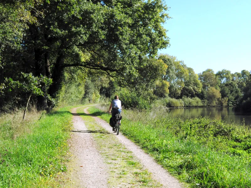
Noé C. photography 
La Vélodyssée ® A.Lamoureux 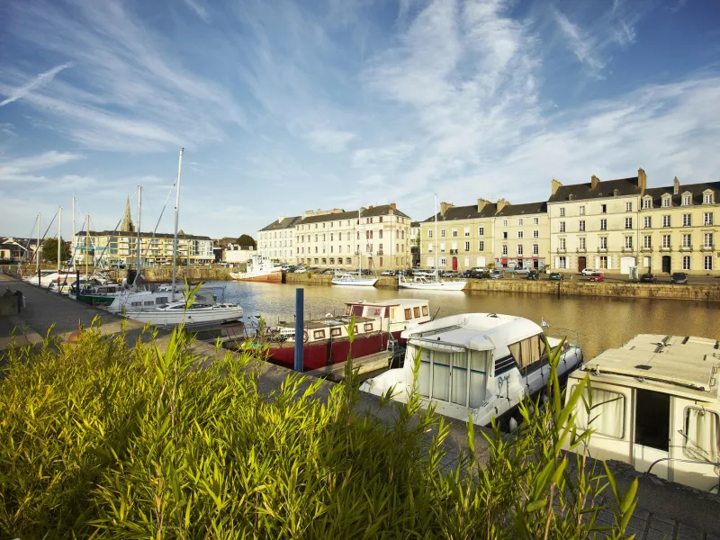
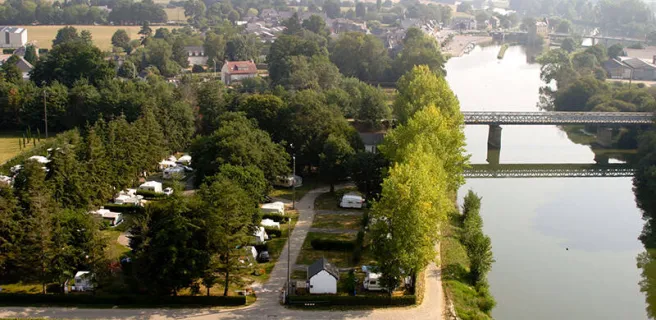
At Guipry-Messac, historically a significant port for transporting salt (once a precious commodity) inland, admire the imposing central mill on its island before continuing along the former towpath by the Vilaine. One highlight is Les Corbinières, a remarkable natural site with steep wooded sides. There are several river ports at which to enjoy a break along the Vilaine. The stage ends at Redon, an historic town at the confluence of the Vilaine and the Canal de Nantes à Brest.
Gradients and elevation
Ascents: 37m
Descents: 42m
Lowest point: 0m
Highest point: 38m
Road types
7km (16%) By road
35km (84%) Cycle path
Surface
8km (20%) Smooth
24km (59%) Rough
9km (21%) Unpaved