All stages on Saint-Malo to Arzal - Cycle route 2 in Brittany
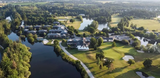
Rennes / Guipry-Messac
LAMBART Norbert - Région Bretagne 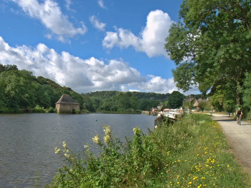
PIRIOU Jacqueline 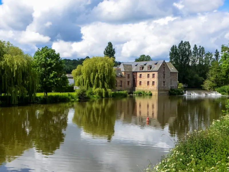
LAMBART Norbert - Région Bretagne 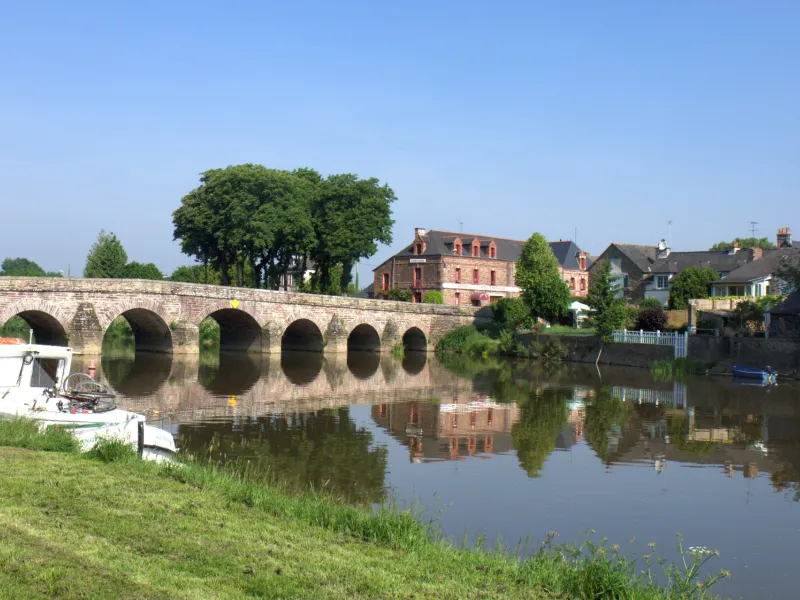
After enjoying a tour of Rennes, the lively Breton capital, head out of town to follow the route along the Vilaine River. The way out of Rennes is gentle, taking you close to Apigné’s recreational lakes. Then, passing through Pont-Réan and Le Boël you can fully appreciate the charms of the Vilaine Valley, with its former mills, its locks and its attractive villages. The route is still being completed at time of writing, but is easy to follow.
Gradients and elevation
Ascents: 33m
Descents: 52m
Lowest point: 4m
Highest point: 39m
Road types
5km (10%) By road
44km (90%) Cycle path
Surface
6km (11%) Smooth
43km (89%) Rough