Old railway, Canals & intimate rivers
24,53 Km
1 h 41 min
I begin / Family
24,53 km cycling route from Le Cheylard to Saint-Agrève
On leaving Le Cheylard, the natural setting changes – the Dolce Via, following the Eyrieux’s course, enters the steep-sided Les Boutières Mountains. Today, the way by bike doesn’t prove a strain, but think back to the workers at the end of the 19th century having to build the railway line through here, creating a veritable technological prowess, given the steep terrain. The vestiges of this exceptional railway past include viaducts, tunnels, bridges and trenches dug out by hand, as you’ll see on your way up to Saint-Agrève. This stage may be spectacular, but it doesn’t present cyclists with any particular difficulties.
Elevation of the stage
118 m 728 m
Waytypes of the stage
Cycle path: 24,53 km
Surface of the stage
Smooth: 6,30 km Rough: 18,23 km
Dolce Via from Le Cheylard to Saint-Agrève
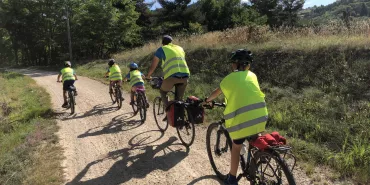
The cycle route, signposted ‘Dolce Via’, alternates between stretches of greenway on compacted sand and on tarmacked surfaces. The gradient isn’t too bad, going up to 3%. The guard rails are once again to be appreciated, preventing any risk of falling all along the stage.
Link to the Via Fluvia via the Velay Express Train
From Saint-Agrève Station, it is possible to board a steam train to reach the Via Fluvia cycle route at Raucoules. The Velay Express tourist train is equipped to take bicycles. You must reserve spaces in advance both for you and your bike.
Don't miss
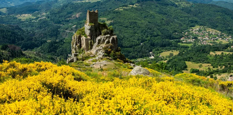
- Saint-Martin de Valamas: L'Atelier du Bijou (renowned in central Ardèche for its jewellery making) and its museum; the vestiges of the Château de Rochebonne, perched on a volcanic promontory dominating the Eyrieux Valle
- Saint-Agrève: panoramic views from Mont Chiniac across the Monts d'Ardèche Range (including the iconic Mont Gerbier de Jonc and Mont Mézenc) and the Cévennes; the Velay Express tourist train.


Travellers’ reviews