Yzeron / St-André-la-Côte
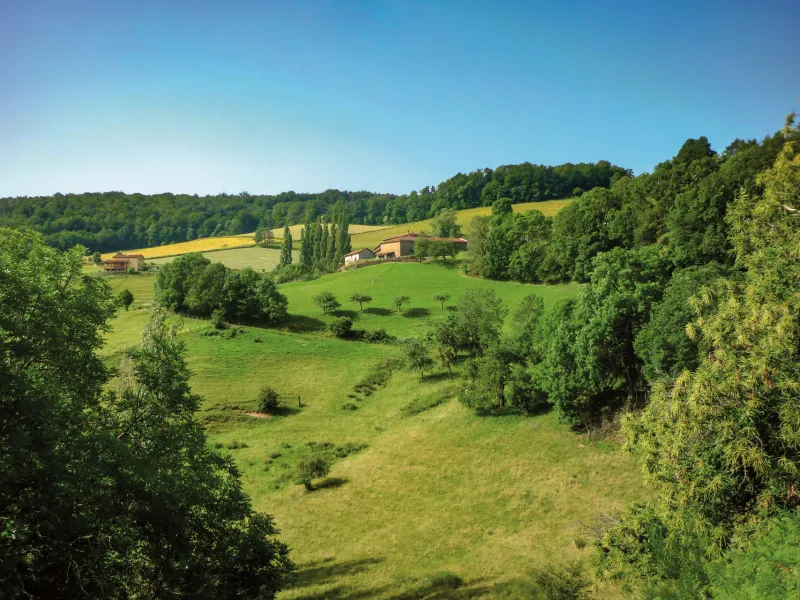
Under the Bois de Lienne, a former hideout of maquisards during the last world war, pedal up to the medieval village of Rochefort, amidst the orchards, crops and livestock of the Monts du Lyonnais. The climbs can be tough, but there's no shortage of views over the Lyonnais basin. If you're brave enough, climb up to the Signal antenna. Your effort will be rewarded by the panoramic view.
The cycle route
This all-terrain stage begins with a succession of ascents and descents to the village of Saint-Martin-en-Haut, followed by a long descent to a valley carved out by the Artilla river. From here, you pedal to Saint-André-la-Côte via a final ascent (5 km, 350 m D+).
Common route with the Grand Tour des Monts du Lyonnais at the finish in Saint-André-la-Côte.
Points to watch :
- Crossing the Saint-Martin-en-Haut road
- Crossing the D311 after descending from Rochefort.
Gradients and elevation
Don't miss
- Romanesque church (Saint-Martin-en-Haut)
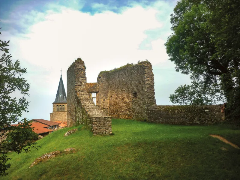
- Château de la Bâtie
- Pays mornantais mountain biking site
- Lake Ronzey
- Medieval village of Rochefort and megalithic site
- Signal de Saint-André: views of the surrounding hills and mountains, and the Alps
- Monts du Lyonnais mountain bike site (Saint-Martin-en-Haut)