Toulouse / Montgiscard
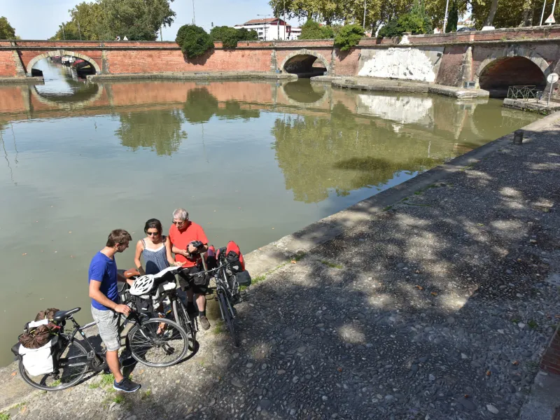
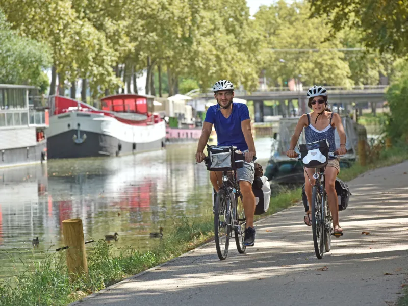
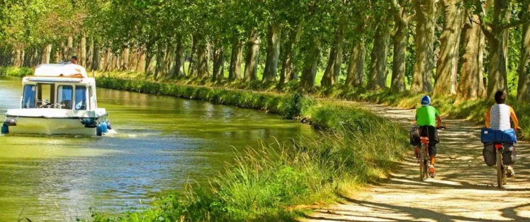
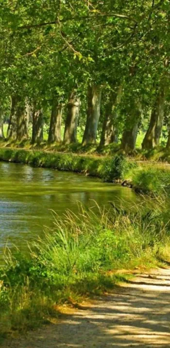
Leave Toulouse via the greenway beside the Canal du Midi, a path that is very popular with local cyclists avoiding the car-clogged city roads. The canal-side route transports you swiftly into parts shaded by centuries-old plane trees, where old barges lie sleepily in the water. Soon, the village of Montgiscard appears, and you feel you’ve left the big city behind to enter the Lauragais farmlands.
Gradients and elevation
Road types
Surface
The route
The greenway is tarmacked and well signposted from central Toulouse to Mongiscard.
SNCF train stations
Toulouse-Matabiau train station:
Regional TER and Intercités trains serve > Montauban/Agen/Bordeaux; Castelnaudary/ Carcassonne/Narbonne/ Béziers/Sète/Montpellier (with numerous daily trains).
Other destinations served from Toulouse include Brive/Limoges/Paris; Albi/Castres/Rodez/Figeac; Tarbes/Pau/Foix.
Tourist offices
Office de Tourisme de Toulouse