

Pouancé / Châteaubriant
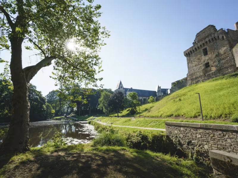
Continuing on to Châteaubriant, following in the footsteps of former railway workers, you'll discover a number of landscape windows typical of northern Loire-Atlantique, shaped over the years! From Pouancé to Châteaubriant, the route is laid out on a former railroad line.
The cycle route
Most of this stage is a greenway, laid out on a former railroad line. The surface is stabilized sand over most of the route. On arrival in Châteaubriant, you cycle on small roads for less than 1 km into the city center.
Gradients and elevation
Répartition des pentes
Road types
Surface
Don't miss
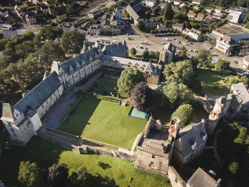
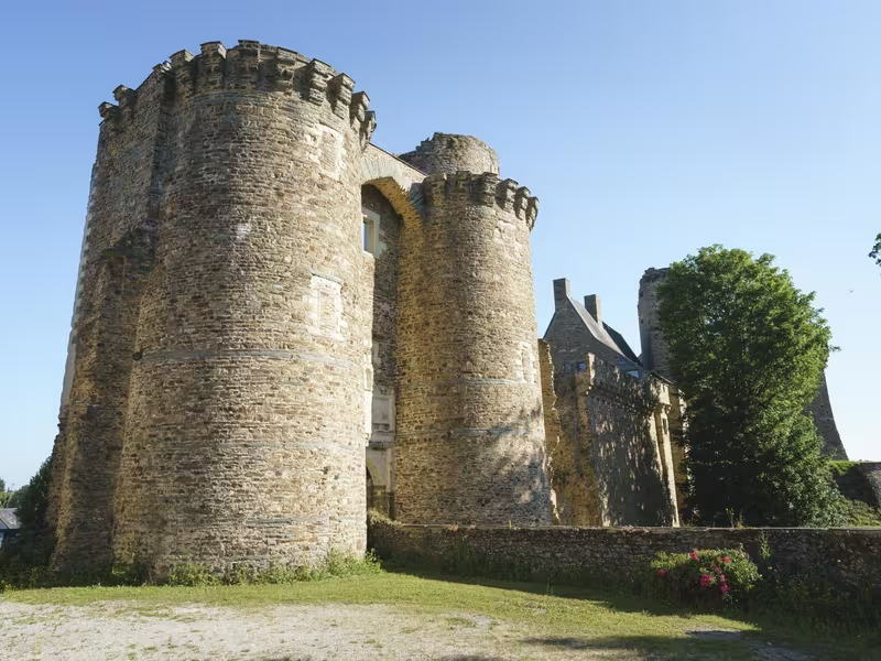
- Châteaubriant castle: A medieval fortress and Renaissance edifice, the Château de Châteaubriant tells the story of ten centuries of history.
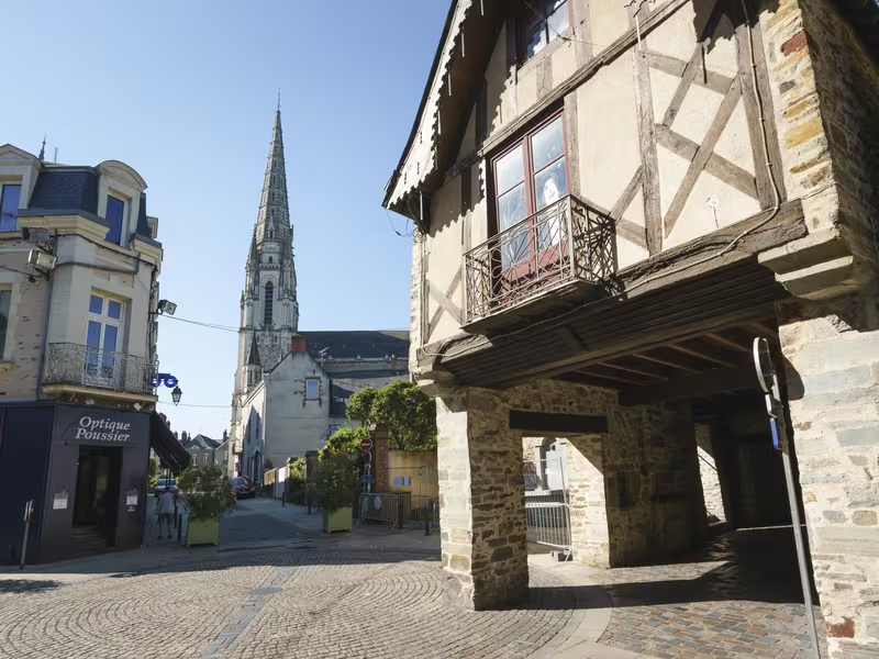
- The medieval city of Châteaubriant
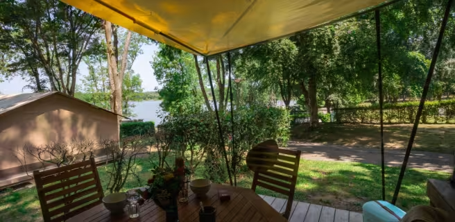
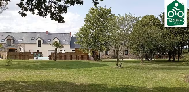
Find your accommodation on this stage


Trains and transport on the route
Trains and stations
Chateaubriant station: Streetcar Train between Chateaubriant and Nantes - (Duration 1h10)
Information and timetables: unfolded bicycles are allowed on board Tram-Trains except for those departing or arriving from Nantes station between 7.15am and 9am and between 4.30pm and 7pm, Monday to Friday. More info on access conditions click here
Interconnections
From Nort sur Erdre, you can join the La Vélodyssée itinerary and continue to Nantes or Redon by bike: see the itinerary.