


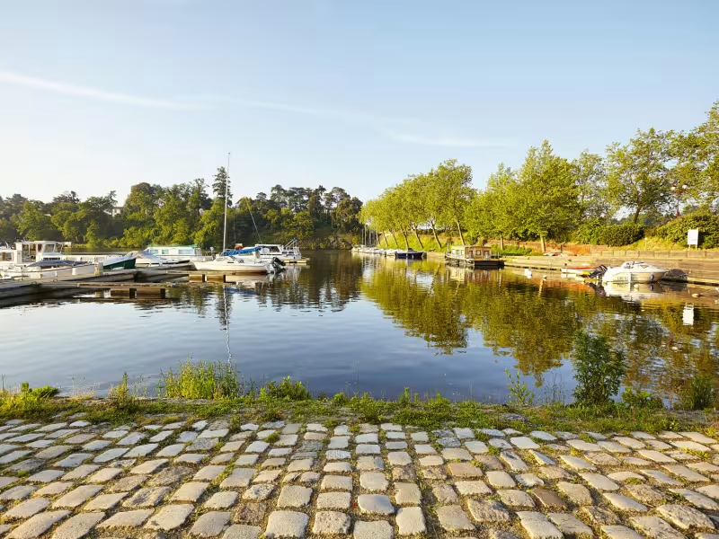
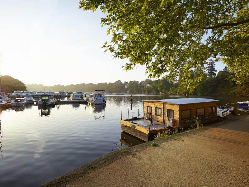
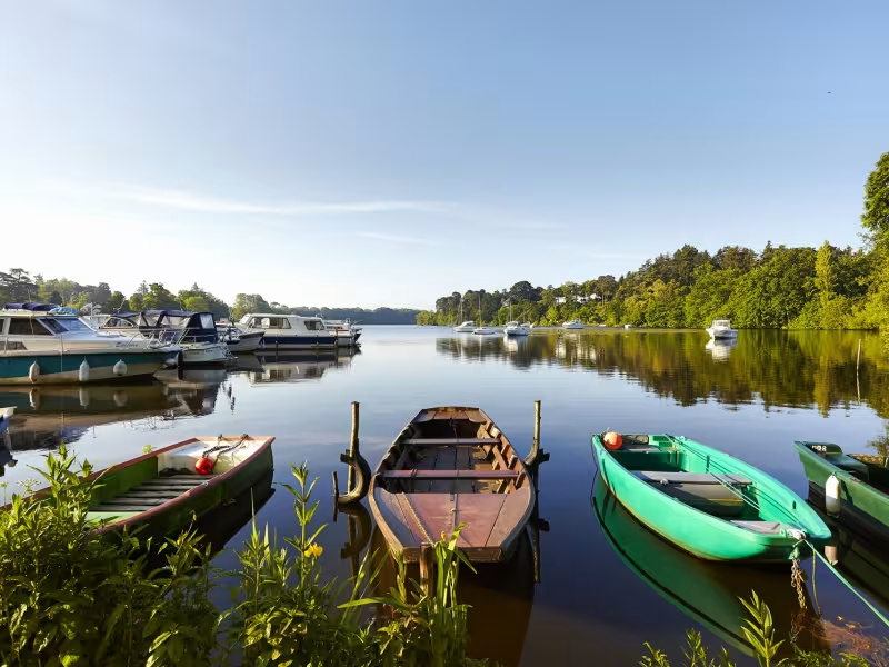
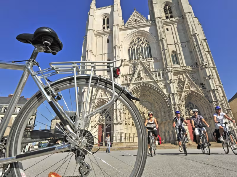
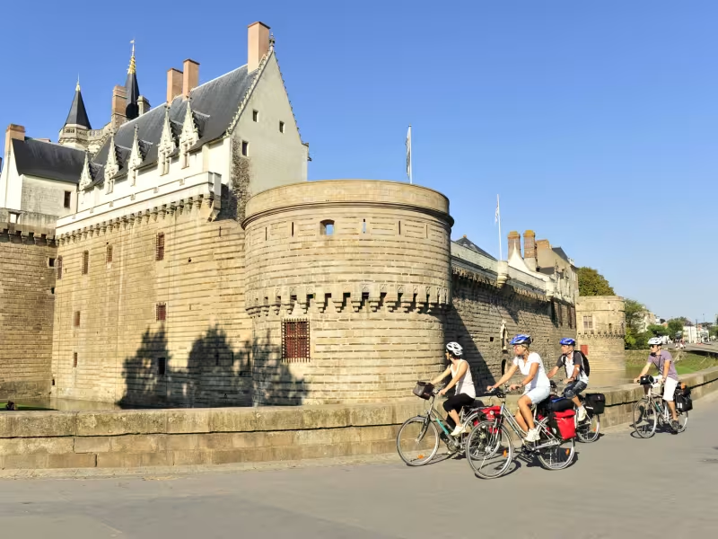
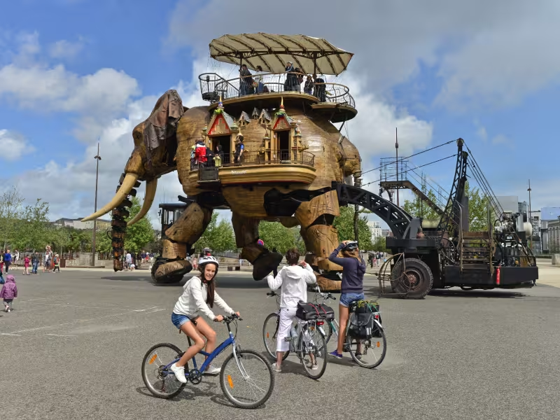
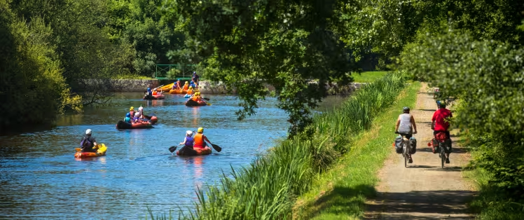
Quiheix’s second lock marks the end of the Nantes to Brest canal towpath. Gradually you return to the hustle and bustle of urban life during this stage of La Vélodyssée, alternating rural routes with sections of the greenway and the charming Sucé-sur-Erdre crossing - a very comfortable stopping point.
Gradients and elevation
Ascents: 147m
Descents: 149m
Lowest point: 1m
Highest point: 40m
Slope breakdown
5km gentle descent (-5% to -1%)
28km flat (-1% to 2%)
2km climb (2% to 5%)
Road types
23km (65%) of cycle paths
12km (35%) of shared roads
- Cycle path
- Routes reserved for cyclists and pedestrians (greenways, cycle tracks, towpaths), separated from cars for maximum safety.
- Shared road
- Quiet minor roads with little traffic (unless otherwise stated in the stage details). Shared with cars (stay alert).
- Not specified
- Data unavailable or being assessed. Please refer to the detailed stage description.
- Provisional
- Section on a road or cycle path awaiting better-quality facilities (see stage details).
Surface
24km (70%) of smooth surface
10km (30%) of rough surface
- Smooth
- Asphalt, tarmac or smooth concrete. Optimal comfort.
- Rough
- Fine gravel, compacted stabilised surface or worn tarmac. Less comfortable, vibrations possible.
- Natural
- Dirt, grass, roots or stones. Under 5%: short sections with little impact. Higher percentage: route suited to mountain or gravel bikes only.
- Not specified
- Data unavailable or being assessed. Please refer to the detailed stage description.
Itinerary
Alternating small lanes with sections of the greenway. Careful on the RD 69, which is very busy between Sucé-sur-Erdre and La Chapelle-sur-Erdre.
Alternative
Due to the numerous access barriers along the course of the Erdre, if you are travelling with any extra weight, a trailer or perhaps a tandem, you may benefit from choosing more accessible routes level with the Jonelière. Then, follow the tram lines to reach the town centre.
Trains and transport on the route
Reviews for Nort-sur-Erdre / Nantes
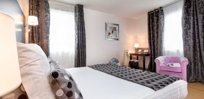
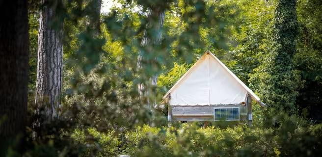
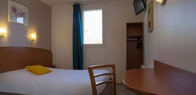
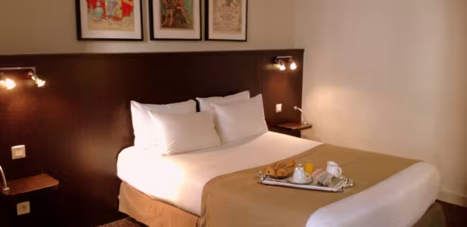
Find your accommodation on this stage




Découvrez également


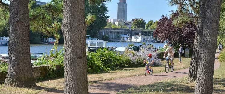
Nantes by bike
Nantes > Saint-Brevin-les-Pins

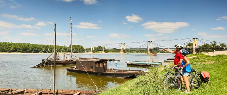
La Loire à Vélo - Loire Valley by bike
Nevers > Saint-Brevin-les-Pins
