Langres / Percey-le-Grand
On this stage, you’ll enter the region of Bourgogne Franche-Comté. Leaving Langres, you’ll also cross an exceptional French watershed, from where the waters flow either to the North Sea, the Channel, or the Mediterranean! As a prologue to the watery theme, it’s possible to make a little cycling pilgrimage to the source of the Marne River. Having greeted the young Marne, then head along a mix of greenways and quiet country roads up to Heuilley-Cotton. And you’ll rejoin the reassuring watery ribbon of the Canal entre Champagne et Bourgogne, the gentle surrounding landscapes forged by the Vingeanne River.
The Route
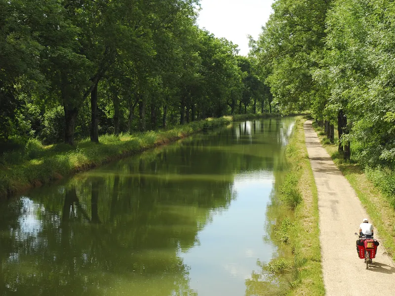
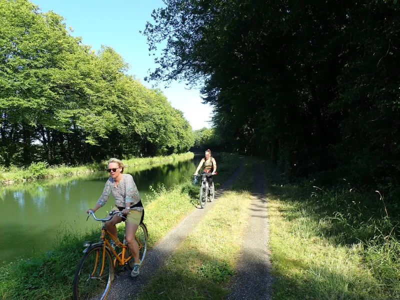
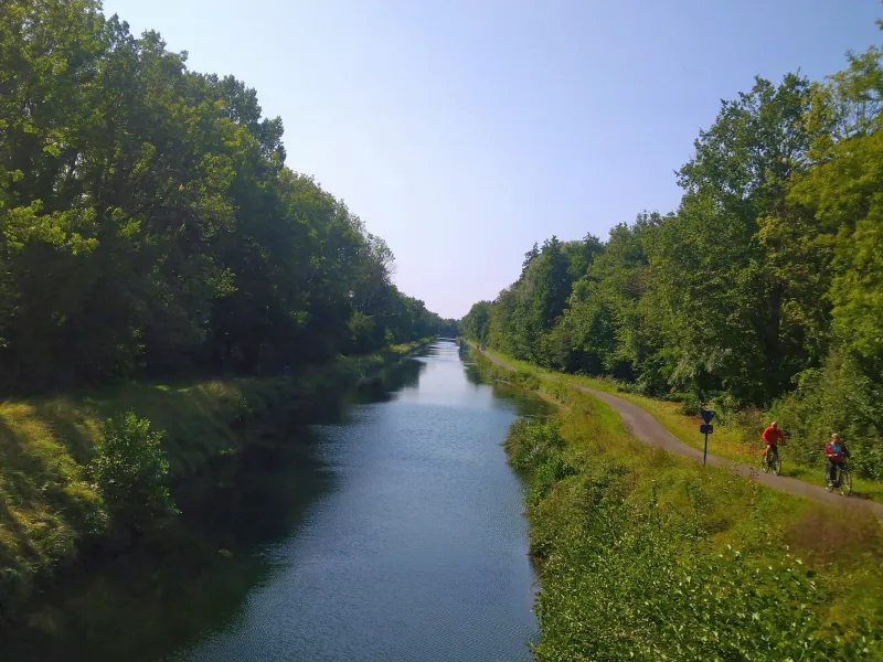
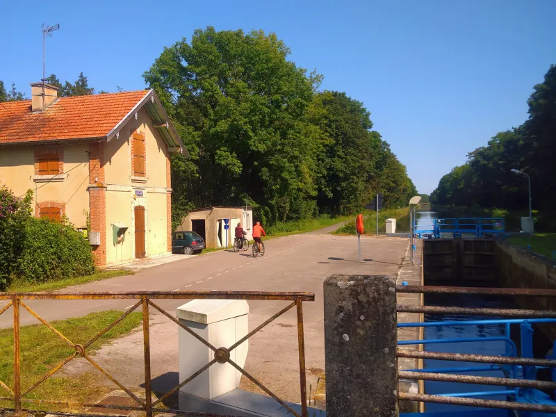
Along this stage, the canal passes through a long tunnel, 4,821m in length, which is forbidden to cyclists. Leaving Langres, follow the greenway to the south side of Saints-Geosmes. From there, you’re guided along quiet country roads crossing the Plateau de Langres via the village of Cohons. At Heuilley-Cotton, you rejoin the canal towpath, the surfacing along here in parts only moderately good, in others in a poor state of repair at time of writing, as you reach the Burgundy border and the département (French county) of Côte d'Or. This stretch should be gradually renovated by the county council, with works planned for completion in 2027.
Gradients and elevation
Road types
Surface
Don't miss
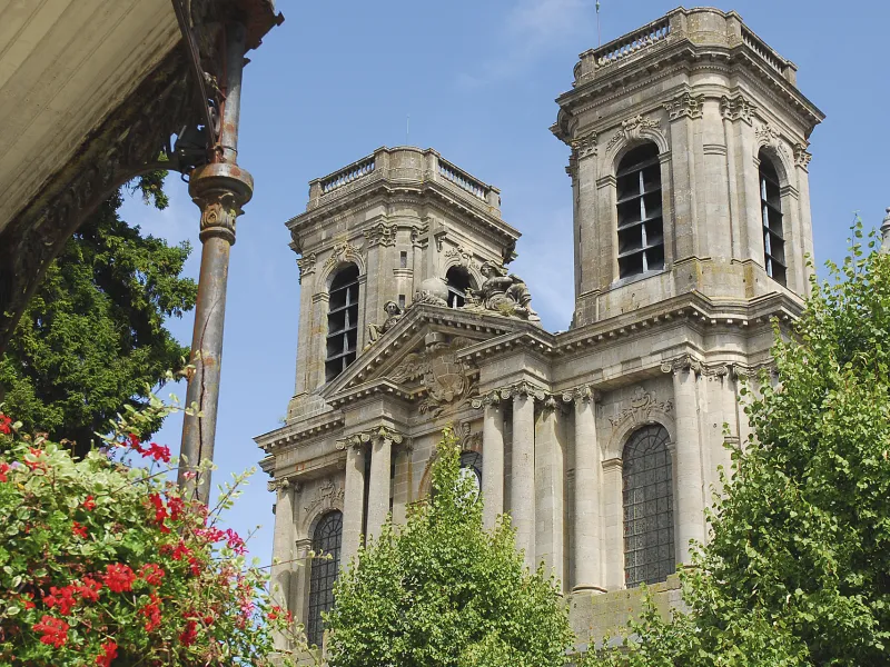
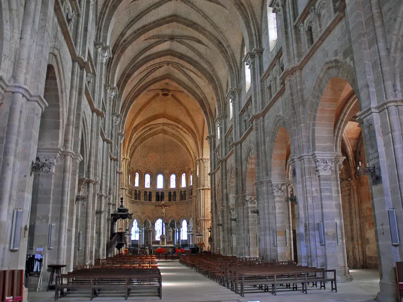
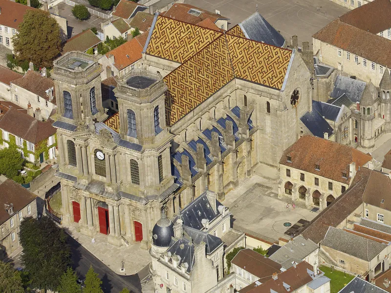
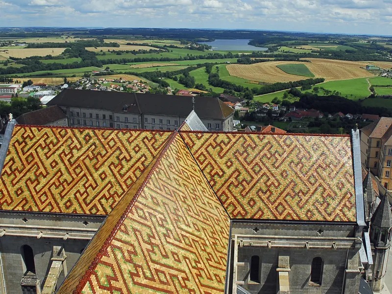
- Langres: within the town ramparts, you can follow a tourist circuit indicated by gilded markers in the ground, guiding you to the cathedral, the Maison des Lumières Denis Diderot and the Musée d’Art et d’Histoire, among other sites. Do walk around the top of the ramparts, admiring the military features along the way, such as gates, towers and bastions.
- Lac de la Liez: the largest of the four lakes of the Pays de Langres.
- Saint-Geosmes: the source of the Marne River at Balesmes-sur-Marne
- Cohons: the only village in France to boast two Jardins Remarquables ® (gardens recognized at national level), featuring terracing and remarkable stone snails to discover!
- Heuilley-Cotton: at the watershed from where waters flow either to the North Sea, the Channel, or the Mediterranean, and also at the highest point along the route of the Canal entre Champagne et Bourgogne, due to which a 4,821m-long tunnel had to be dug (the fourth-longest tunnel built for a waterway in France).
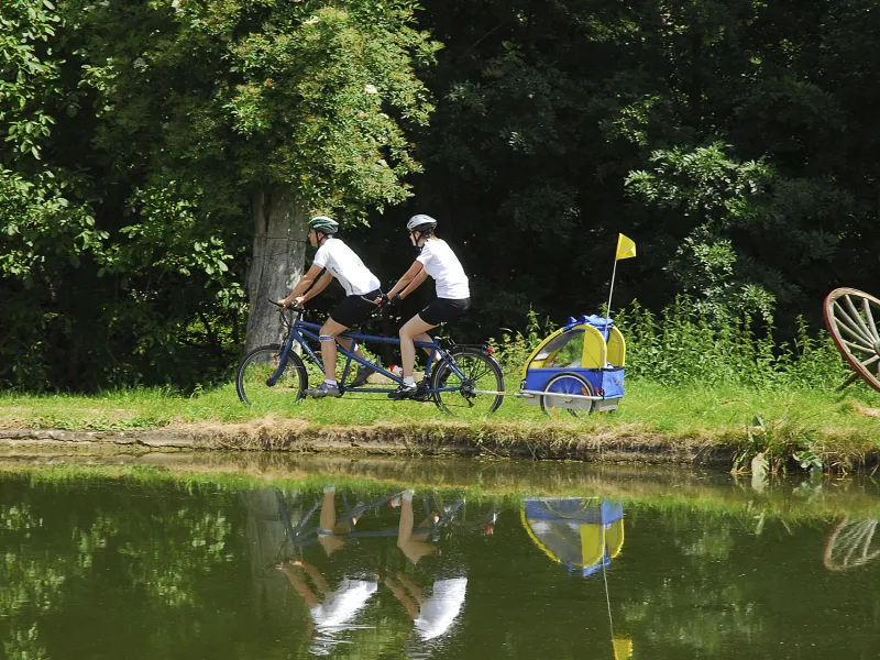
- Villegusien: the Lac de la Vingeanne, for a refreshing stop, even a swim, or to try out various water sports.
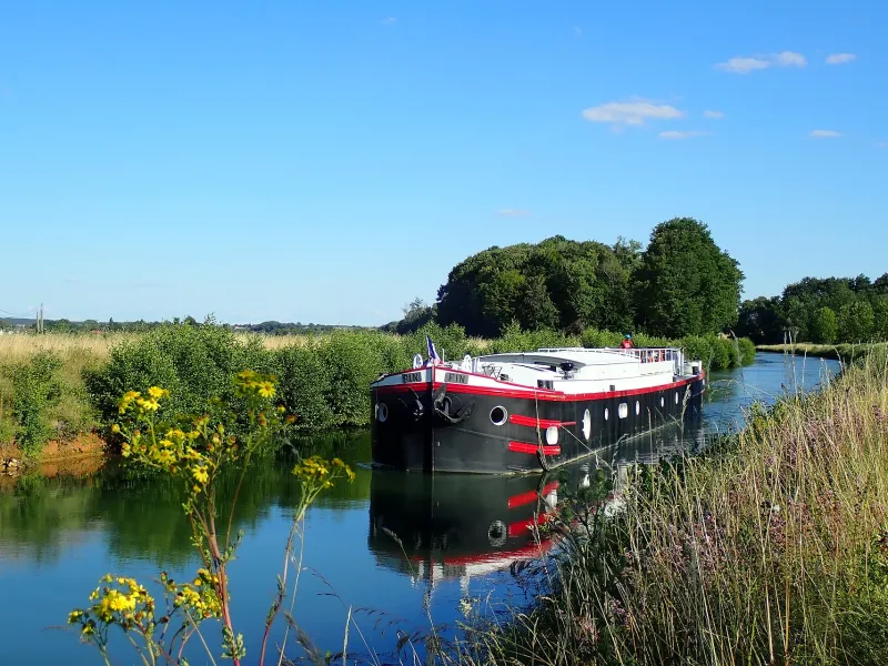
- Dommarien : la Niche du chien à plumes, located at the Maison éclusière (lock-keeper’s cottage) N°13 at Bise l’Assaut, a venue combining artistic curiosities and a mix of musical events in a friendly atmosphere. Every weekend happenings include concerts by contemporary bands, cabaret evenings and guinguette-style Sundays, with outdoor restaurant and dining; the Pont Canal de Bise l’Assault, a navigational aqueduct built in 1905 to enable the canal to cross first the Vingeanne River, then the Badin.
- Cusey: the navigational aqueduct, or Pont Canal du Badin, a carbon copy of that at Bise l’Assault, also built in 1905.
- Montsaugeon: Petite Cité de Caractère du Grand-Est ®, so designated an historic village of cultural interest.
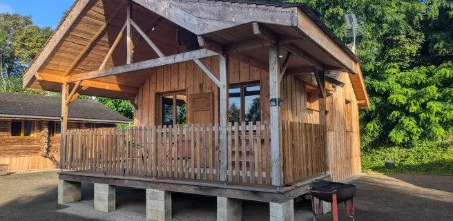
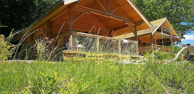
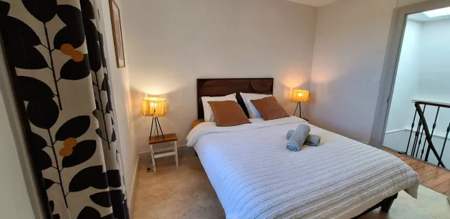
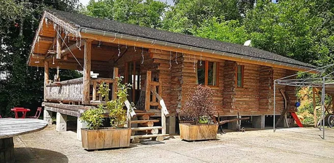
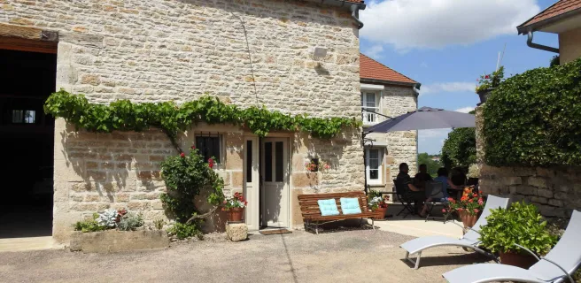
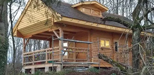
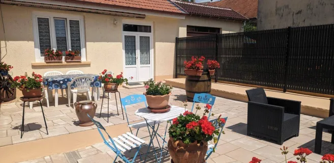
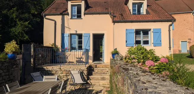
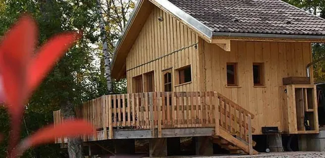
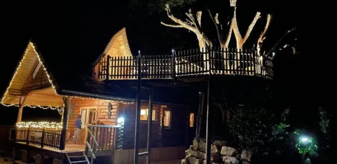
Find your accommodation on this stage
Trains and transport on the route
SNCF train station
Gare de Langres: accessible from Paris either by high-speed TGV Lyria, or by regional TER Fluo, with spaces available for bicycles (2h58 on average)