Chaumont / Langres
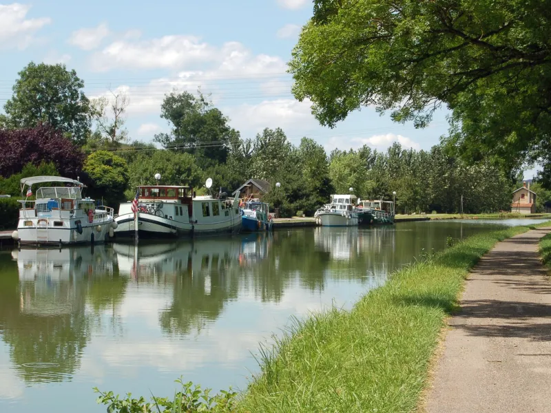
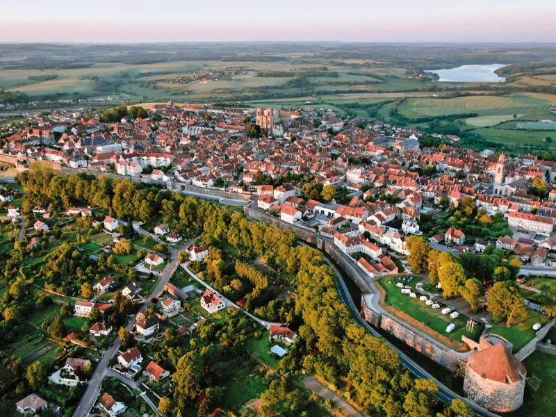
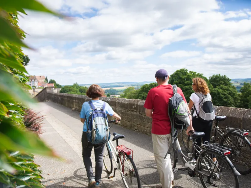


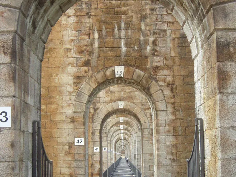
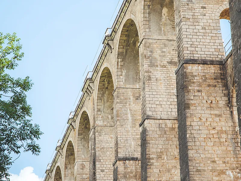
From Chaumont, cycle off to rejoin the Canal entre Champagne et Bourgogne and continue due south along the towpath. Right after Chaumont, before Foulain and Marnay-sur-Marne, the way takes you zigzagging beside lovely meanders. There’s a little detour that’s really worth the effort, to the Tufière de Rolampont, a petrifying waterfall that coats the moss that grows here with tufa limestone. The further you ride along the towpath, the more the dramatically perched historic town of Langres comes clearly into view. You will have to tackle the steep slope to get up to its ramparts, a walk around them offering wonderful views.
The Route
As with the previous stage, this one is entirely along a stretch of towpath that has been completely renovated by the Conseil Départemental (or County Council) of Haute-Marne.
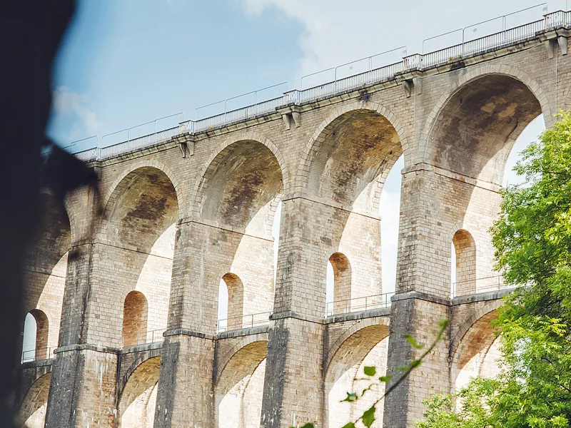
The hard surface is in a fine state of repair along the whole stage, making it one of the most delightful for families to ride along, although note that there is a steep slope at the end, to reach Langres centre. To climb to the fortified town perched on its plateau 100m above the plain, at the round-about by the cemetery, join the greenway along a former railway line, passing between private gardens, leading you up to the Allée de Blanchefontaine.
Gradients and elevation
Road types
Surface
Don't miss
- Chaumont: known as the Cité des Comtes de Champagne, given the regional counts’ links, history written on many buildings and façades in the town centre. The little town is now French capital of graphic design and has, over the last two decades, drawn together graphic designers from around the world. You can see some of their work on the walls of Le Signe, Centre National du Graphisme.
- Rolampont: the tufière, a waterfall made of limestone-coated pools, is an active biological environment that covers the moss here with a limestone known as tufa.
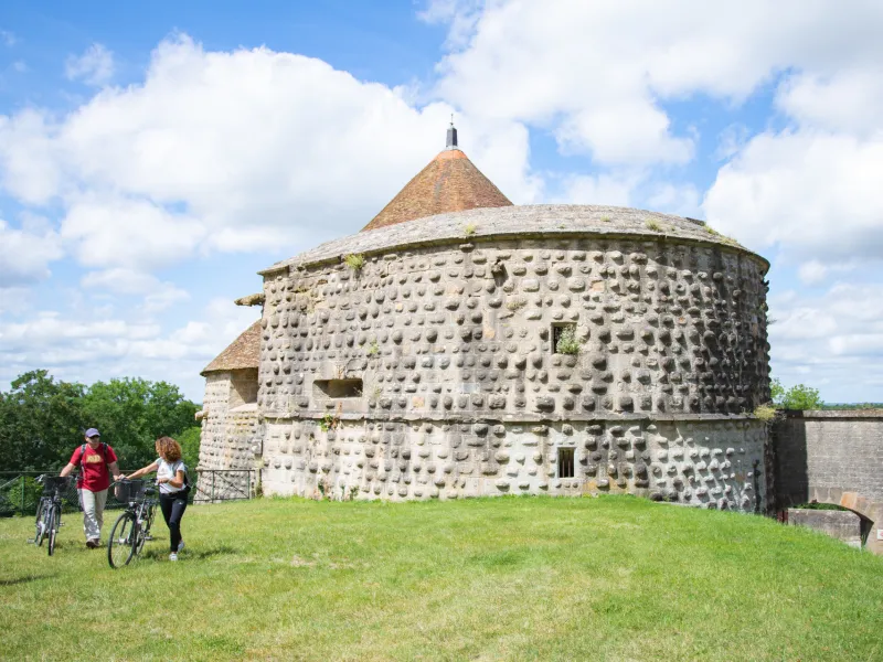
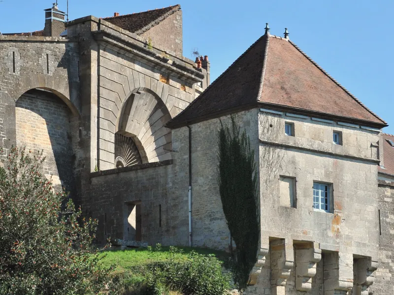
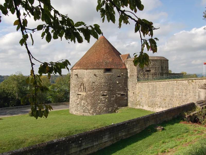
- Langres: within the town ramparts, you can follow a tourist circuit indicated by gilded markers in the ground, guiding you to the cathedral, the Maison des Lumières Denis Diderot and the Musée d’Art et d’Histoire, among other sites. Do walk around the top of the ramparts, admiring the military features along the way, such as gates, towers and bastions.