Gilette / Bouyon
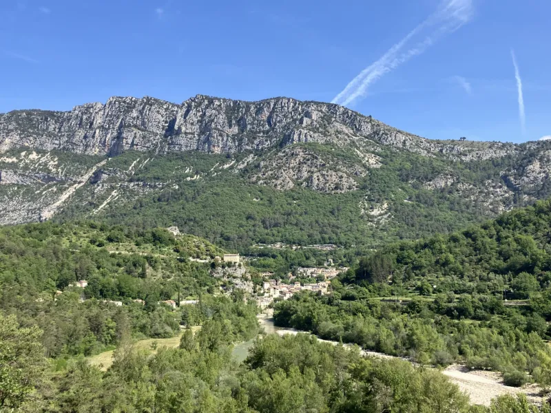
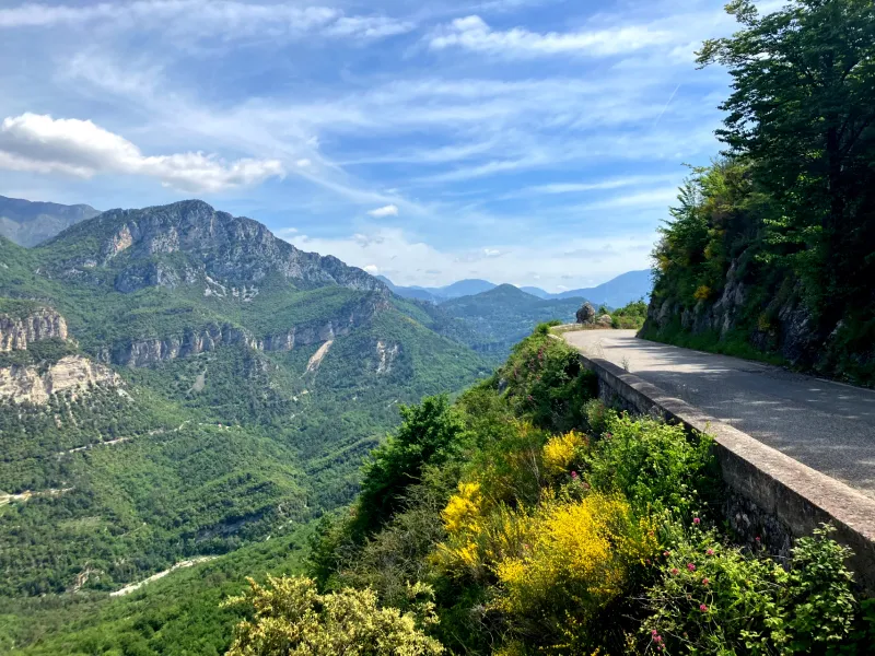
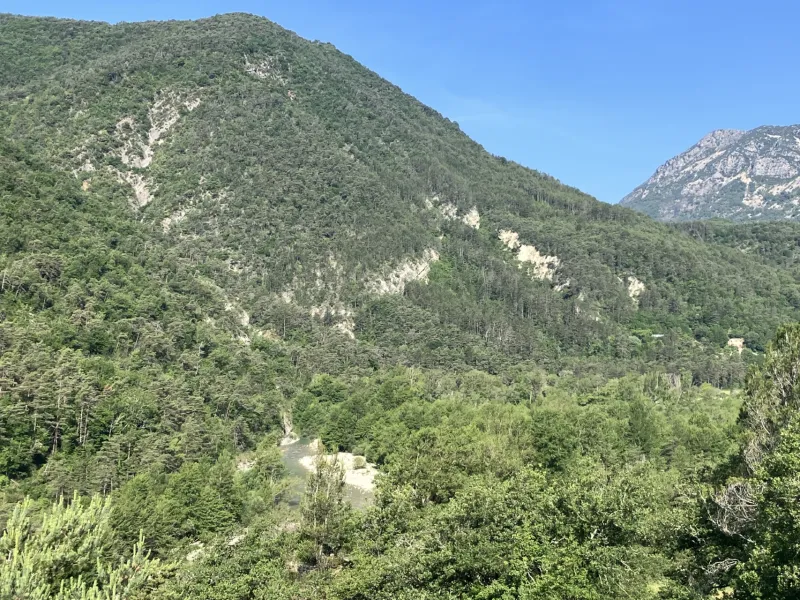
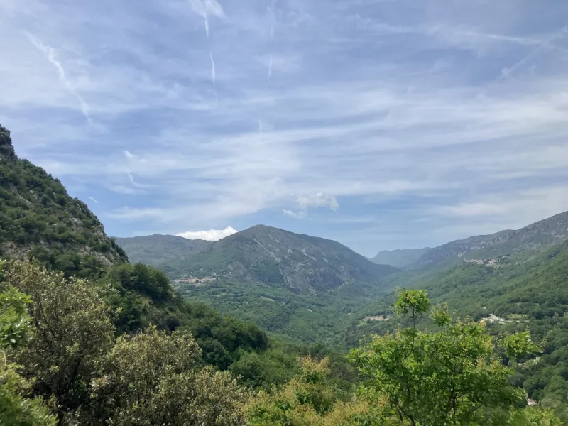
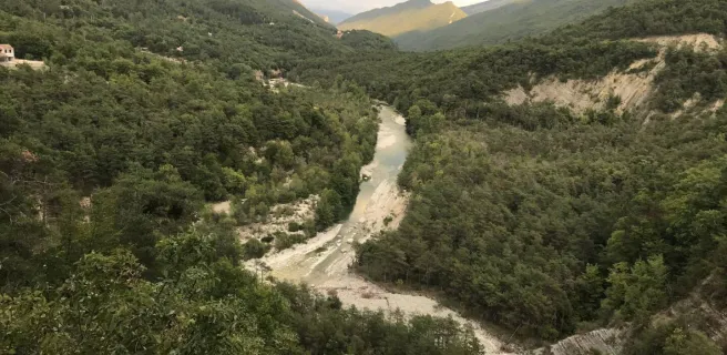
This stage of the Grand Tour des Préalpes d’Azur provides a feast of colours, from the deep greens of the woods, down to the deep blues of the Estéron River and up to the azure skies. Along the river’s north bank, as you cycle along, the crystalline waters allow you to appreciate the gently sloping river and hence the natural pools that have formed here, to the delight of bathers. This picturesque scenery lasts up until the Knights Hospitaller-connected villages of Roquestéron and Roque-en-Provence. Then, following the south bank, on the climb to Bouyon, at each turn, the palette of colours changes, with a mix of pines and deep blue skies, the whole creating a vibrant yet peaceful scene, accompanied by the pleasing babble of the water.
The Route
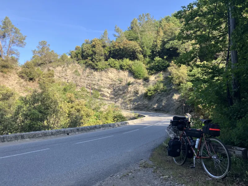
From the village of Gilette, this stage alternates between climbs and descents only involving modest gradients. First, you follow the north bank of the Estéron River in westward direction, along the M17/D17 road. Then you cross to the south bank and turn eastwards along the D1 road after La Roque-en-Provence. To reach the Col des Ferres involves a 14km-long climb.
- After a first stretch of the climb at a gradient of 4%, the way becomes less steep up to the Pont de la Bouisse, a bridge.
- However, after the Gorges de la Bouisse, you have to tackle slopes varying between 4.5% and 6.5 %, up to Conségudes.
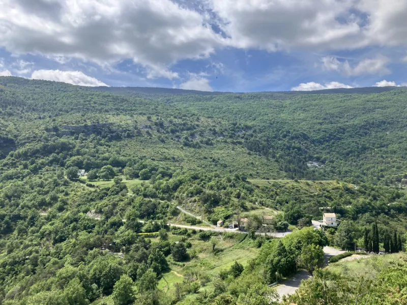
- Between Conségudes and Ferres, the route presents a deceptive climb that looks flat, with the most significant gradient along this section the one to reach the village of Les Ferres.
- From Les Ferres to Bouyon, there are deceptive stretches that look flat enough but involve either minor climbs or descents, however, none of these presents any particular difficulty.
Between Roquestéron and Coursegoules, the Grand Tour des Préalpes d’Azur shares the way with the famed Route des Grandes Alpes.
Gradients and elevation
Road types
Surface
Don't miss
- Gilette: the historic village, or vieux village, with a platform offering views down on the Var-Estéron Confluence; the Musée Lou Férouil 3250 route de Gilette; a variety of shops | nearby: Pont de la Cerise (with aquatic-pedestrian trails!)
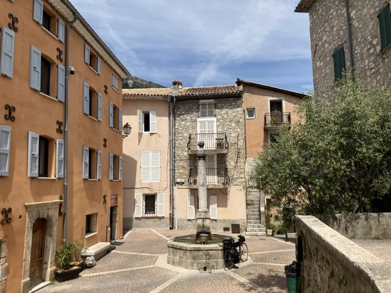
- Roquestéron: a good selection of facilities in this village historically attached to La Roque-en-Provence
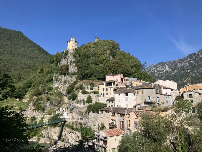
- La Roque-en-Provence: Maison du Prieur (linked to the medieval Knights Hospitaller); Chapelle Sainte-Pétronille, with views down on the Estéron Valley; the old washhouse; the Pont de France (once on the frontier between the County of Provence and the Duchy of Savoie); the footbridge (passerelle) over the Estéron
- Conségudes: the Romanesque church; the chapels to St Paul and St Marguerite; the former washhouse (lavoir); the communal bread oven; the little oratories for prayer; plus the older lavoir (at the sources of the Bouisse River)
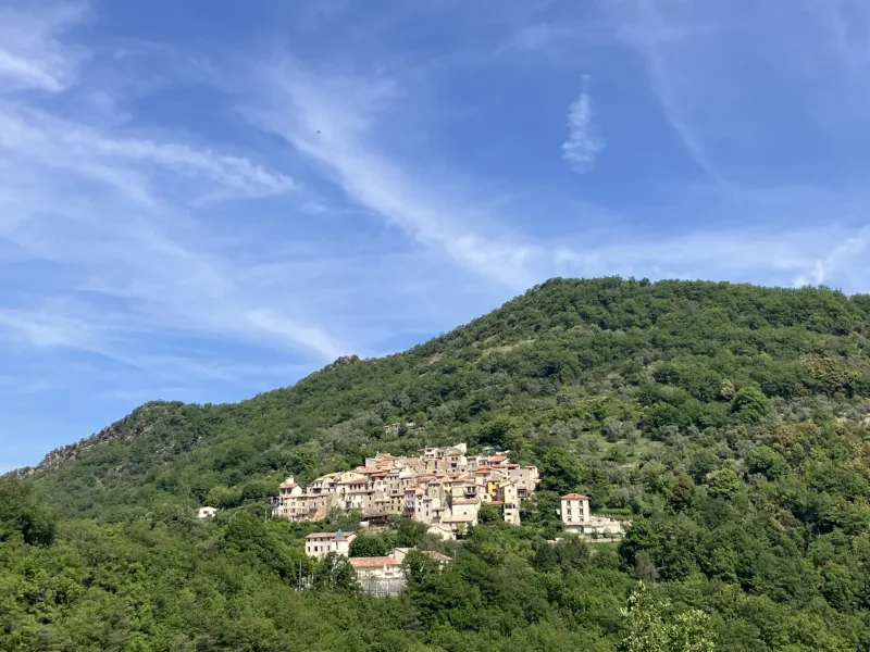
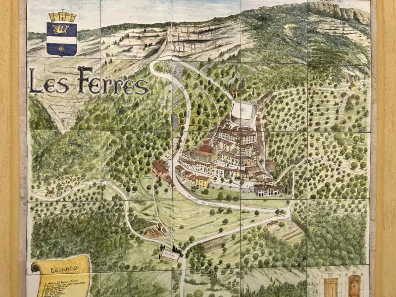
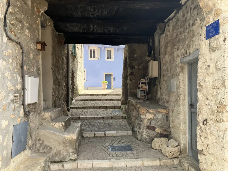
- Les Ferres: a perched village nestling in a green setting on the southern flank of Mont Saint-Michel, with a labyrinth of lanes and a restaurant with breathtaking views
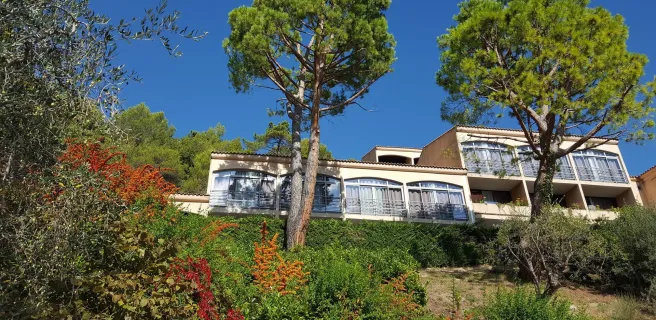
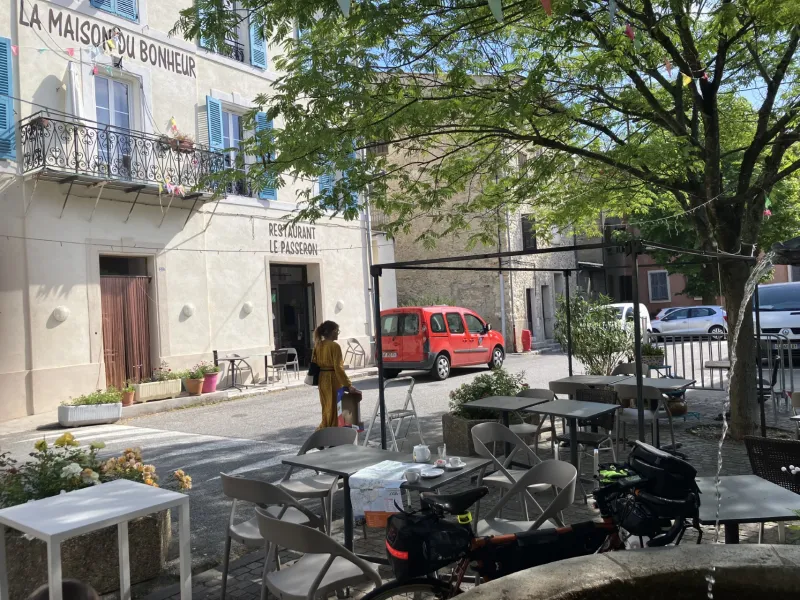
- Bouyon: Penitents’ chapels, to St Pons and St Roch, plus St Etienne Oratory; St-Trophime parish church; the vestiges of the medieval castle; the former communal bread oven; a variety of shops.
Trains and transport on the route
SNCF train services and stations
- No train stations along this stage