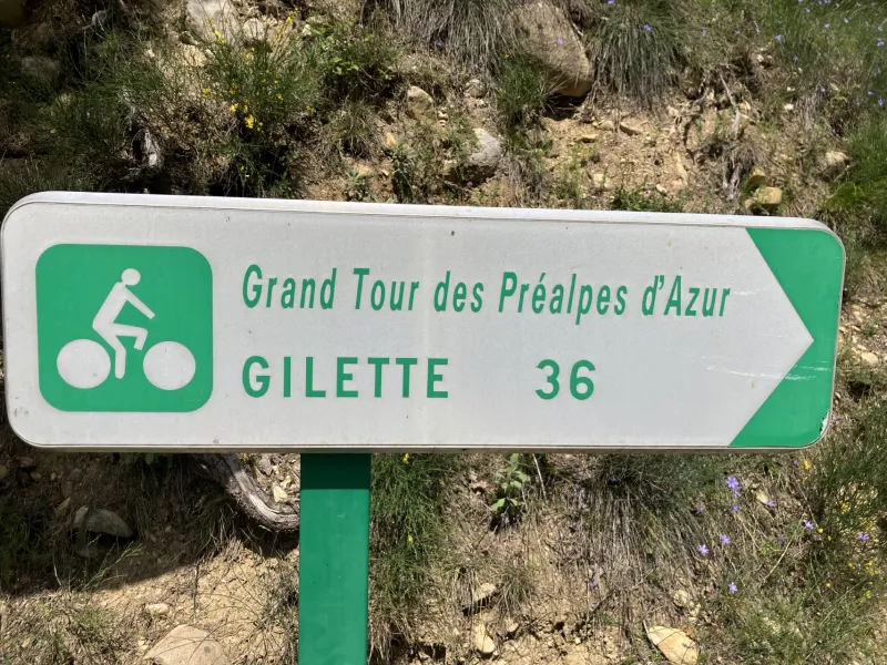
Aiglun / Gilette
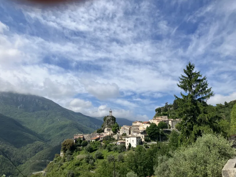
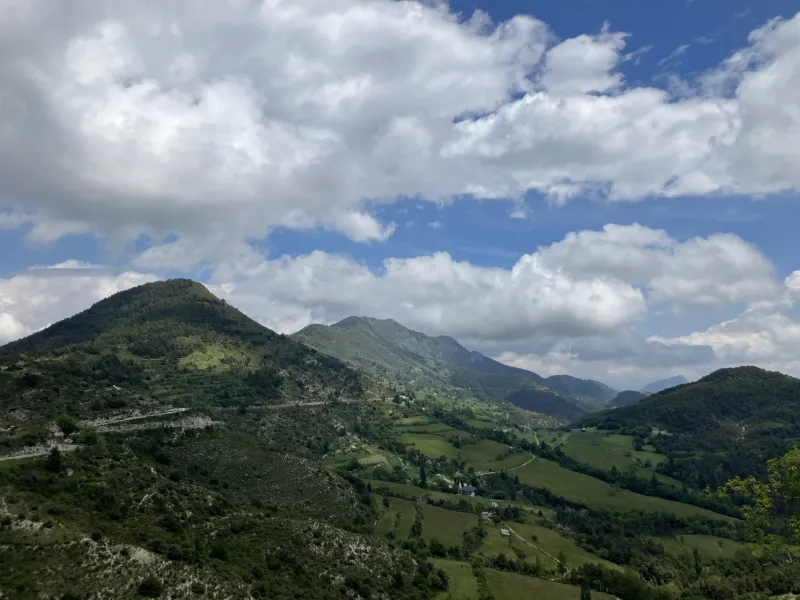
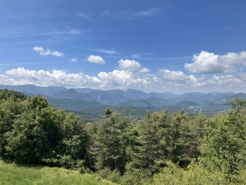
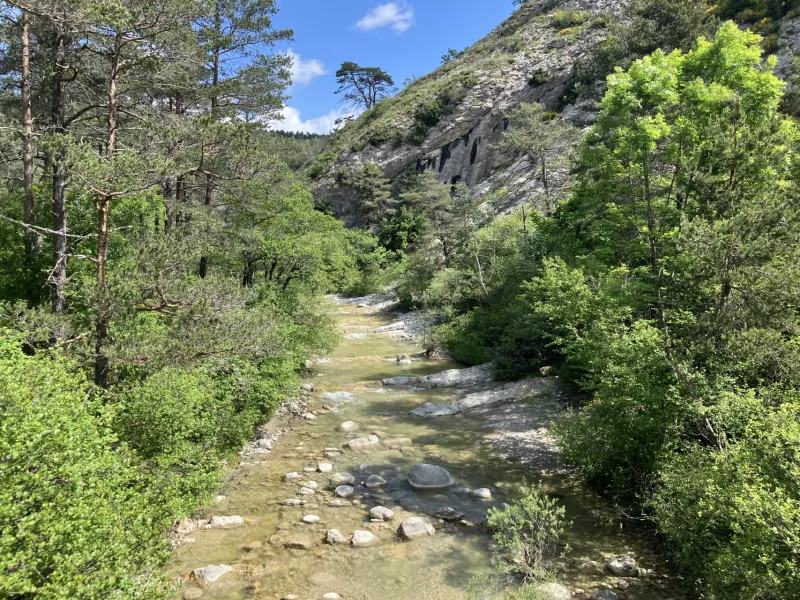
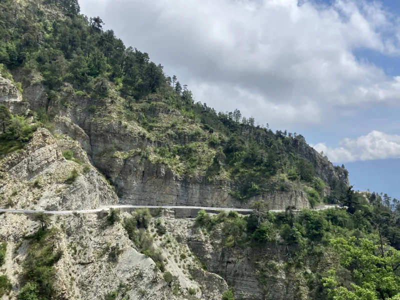
Leave Aiglun, overseen by the Mont St Martin, its summit at 1,258 m, following the spectacular D10 road, cut out of the rock, looking down on the turquoise-blue waters of the Estéron River. After exploring the medieval village of Sigale and passing the Clue du Riolan, the Grand Tour des Préalpes d’Azur makes you climb to Saint-Antonin and Ascros, splendid views opening up of the ski resort of Valberg. Then the cycle route transforms into something of a great long tobogganing trail as you race down the mountainside, Mont Vial towering above, to Gilette and the Var Valley. On the way down, you can explore Provençal villages perched on rocky outcrops and full of sun-drenched colour.
The Route
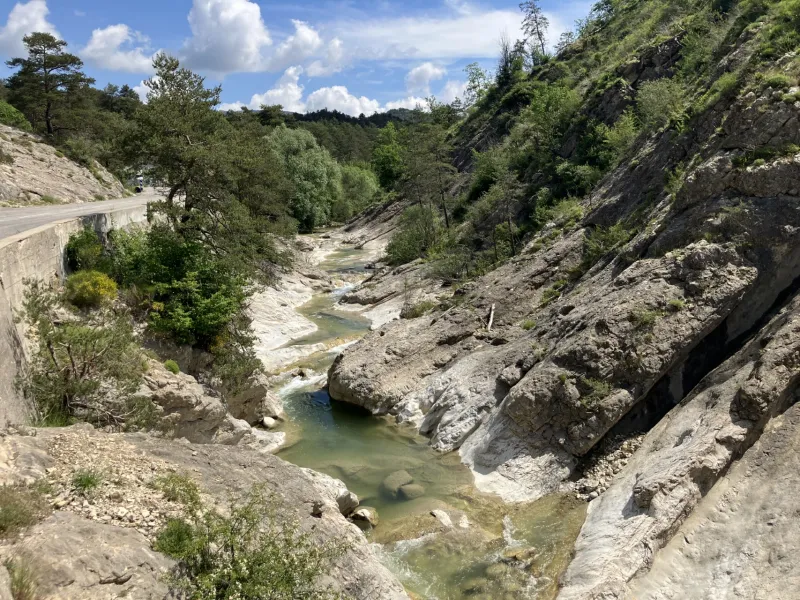
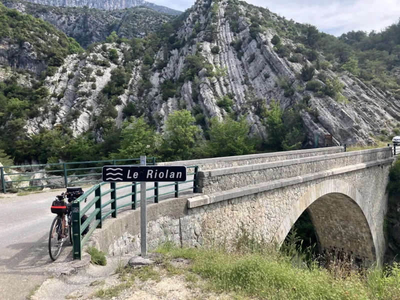
From Aiglun’s eagle’s eyrie, you follow the D10 road for a time before turning left to climb to Sigale via the D17. After a short descent to join the Riolan Valley, you ride along the D2211A. Just after crossing the Clue du Pali, you switch from the D2211A to the D427, cycling towards St Antonin via the Sallagriffon forêt domaniale forest road, involving a climb of over 11km to Ascros.
- To reach St-Antonin and the exit from this village, at an altitude of 830m, you have first to cycle along a 2.5km stretch with a gradient of 2%, followed by a more testing stretch of 2.4km with an average gradient of 7%
- After that, there are still 5.8km of ups and down to reach Ascros, with alternating stretches involving slopes with gradients of between 3% and 4% and stretches that last longer, at between 6% and 7.8%.
Gradients and elevation
Road types
Surface
Don't miss
- Aiglun: a village whose name means “water fortress”, boasting the tallest waterfall in the département of Alpes-Maritimes, plus, below, two canyons of international renown, to try out the exhilarating water sport of canyoneering.
- Sigale: a fortified village and historic southern outpost of the Savoy-Piedmont (later Sardinian) State, which included the County of Nice among its possessions for some time, facing up to its mighty western neighbour, France; the Tour de l’Horloge, a belfry looking down on the village, also recalling the region’s history; the Musée Lou Temps Passat; a bar-restaurant
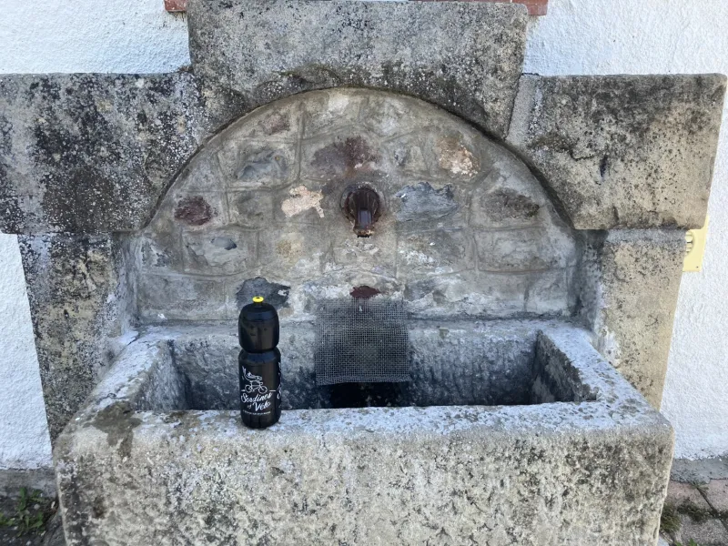
- Saint-Antonin: a place that draws hikers from the local trails, with a much-appreciated fountain at which to drink after the long climb!
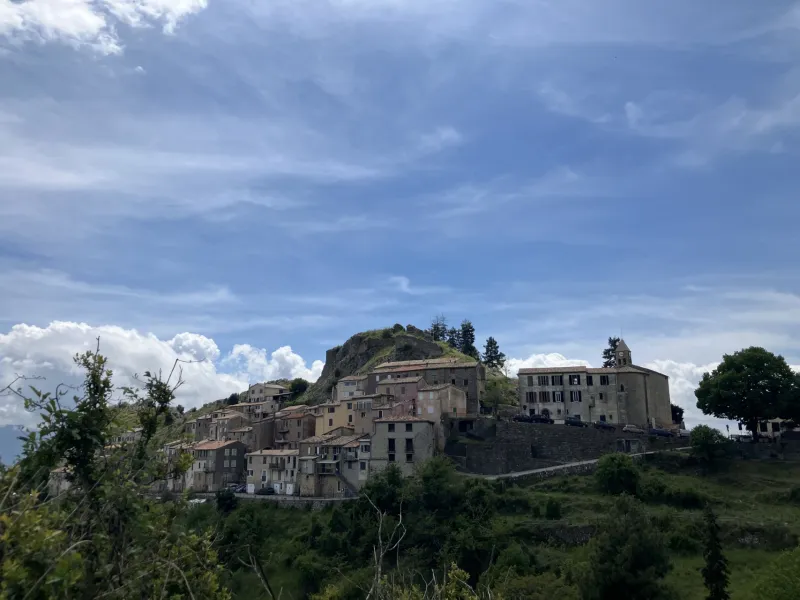
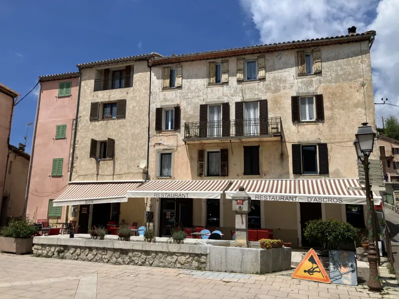
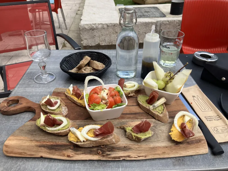
- Ascros: the château with its views; the narrow lanes; the bar-restaurant Chez Anouk
- Toudon: a perched village at 1,000m in altitude, with restaurant and grocer’s
- Tourette du Château: with historic links to Monaco’s Grimaldi family, the castle brought down, but the spot offering unforgettable views over the Estéron Valley
- Revest–les-Roches: an historic village formerly attached to Tourette du Château
- Gilette: the historic village, or vieux village, with a platform offering views down on the Var-Estéron Confluence.
Find your accommodation on this stage
Trains and transport on the route
SNCF train services and stations
- No train stations along this stage