Grand Tour des Préalpes d'Azur by bike
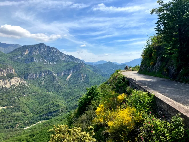
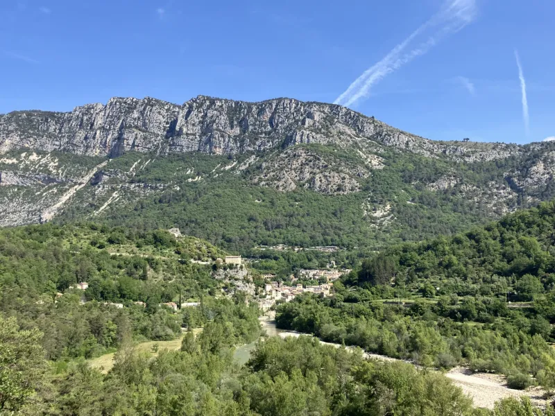
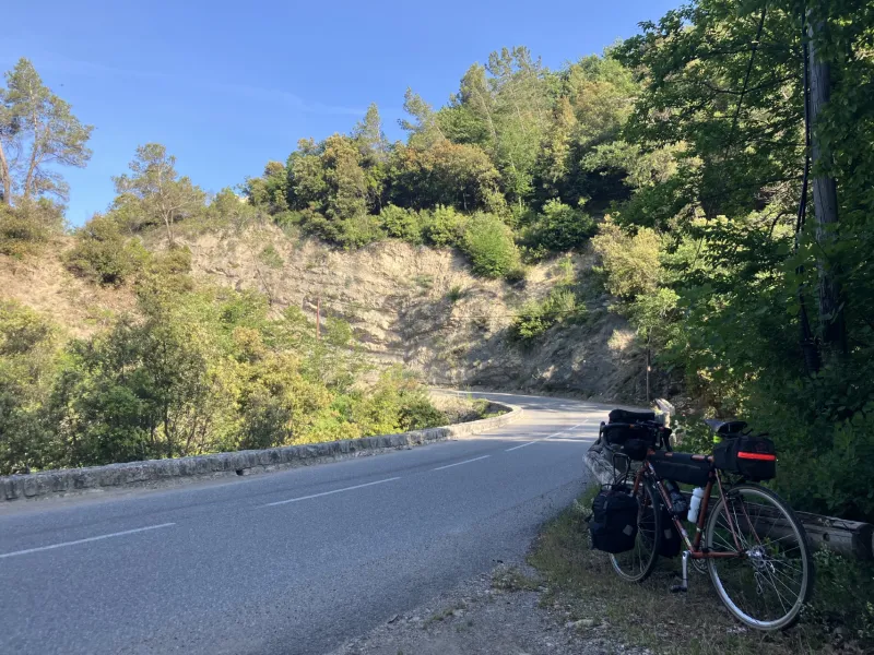
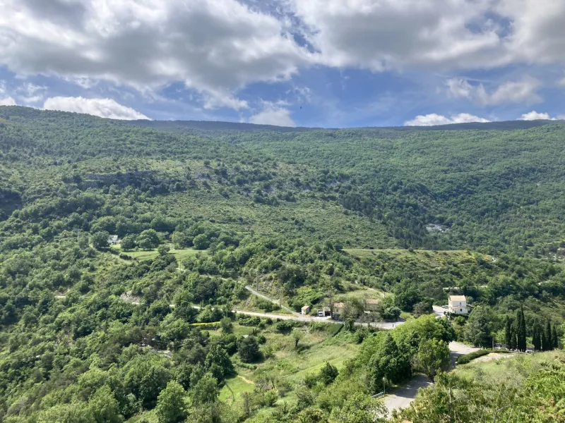
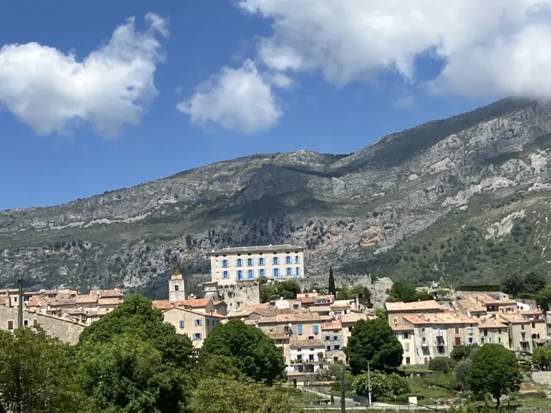
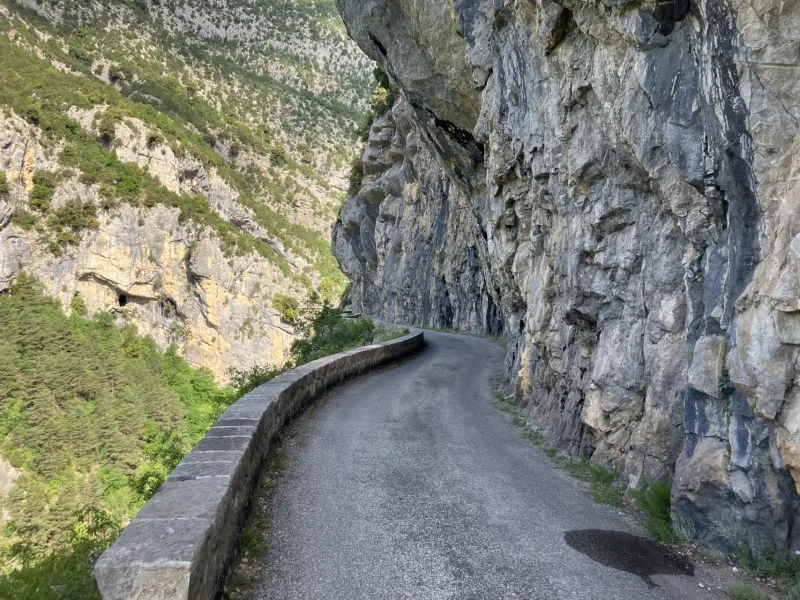
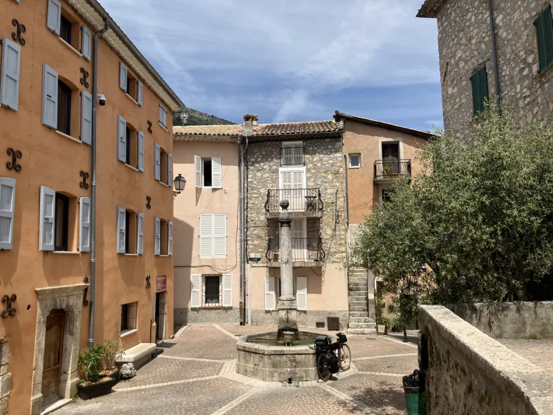
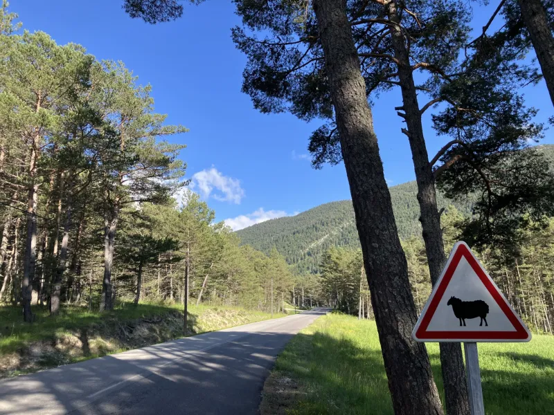
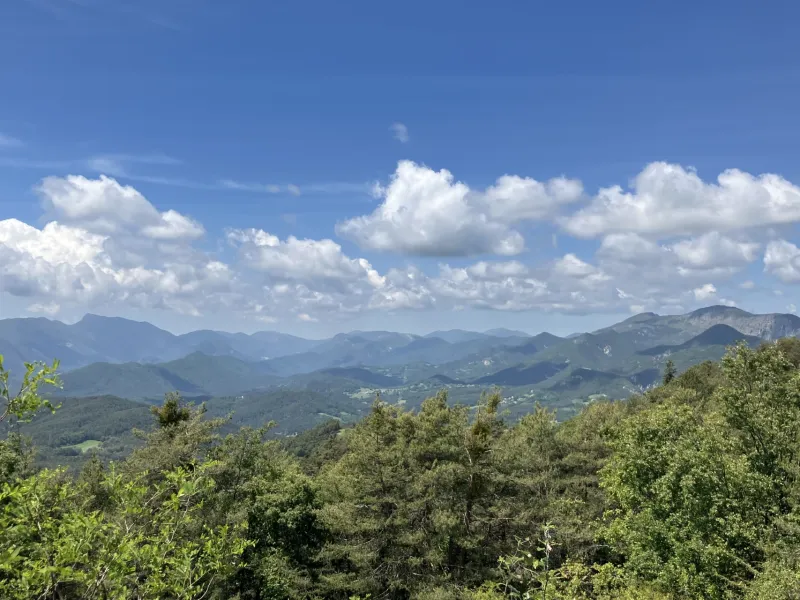
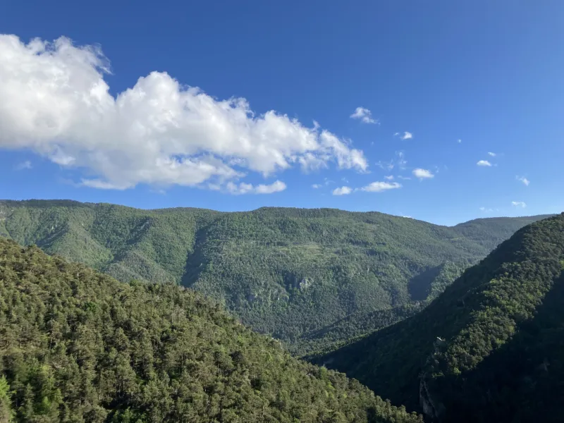
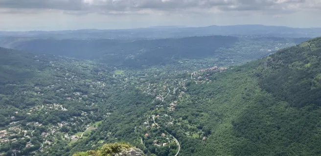
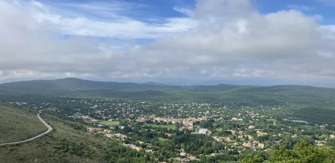
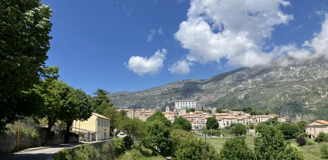
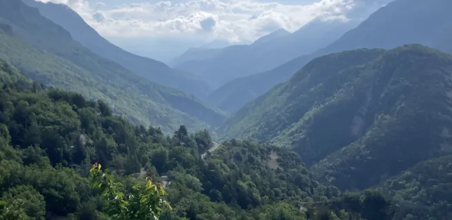
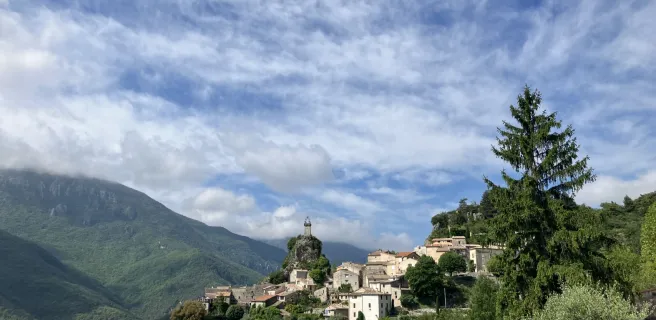
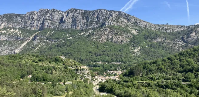
Starting with the hills behind the perfume-making town of Grasse, the Grand Tour des Préalpes d’Azur cycle route leads cyclists inland from the Côte d’Azur onto limestone Alpine plateaux, going via dense forests and steep, narrow valleys. It guides you through low mountains into the midst of the secretive landscapes of the Parc Naturel Régional des Préalpes d’Azur. Expect a colourful adventure, combining the azure blue of the skies with the olive-green of the vegetation, the ochre and white hues of the rocks with the cerulean blue of the rivers. Stop off the winding roads, often cut into the rockface, to enjoy spectacular views down on the French Riviera as well as across the mountains behind it. On this cycling getaway, listen out for the accompanying restful sound track too, made up of birdsong, rustling leaves, racing streams and the odd scuttling lizard caught warming itself on the tarmac, rushing to get out of your way as you ride by!
Signposting and the state of cycle route
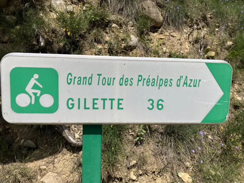
- The GT (Grand Tour) des Préalpes d’Azur is only signposted in clockwise direction. The cycle route takes you along secondary roads (or B-roads) in the French county (département) of Alpes-Maritimes, plus there are two short stretches in the adjoining département of Alpes de Haute-Provence.
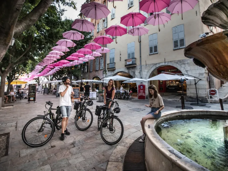
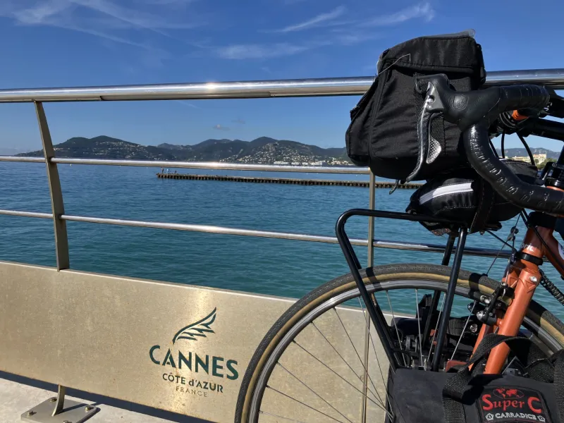
- We advise that you choose from two possible start points, each served by SNCF train services: Grasse, in the south; or Puget Théniers at the northern end of the cycle route.
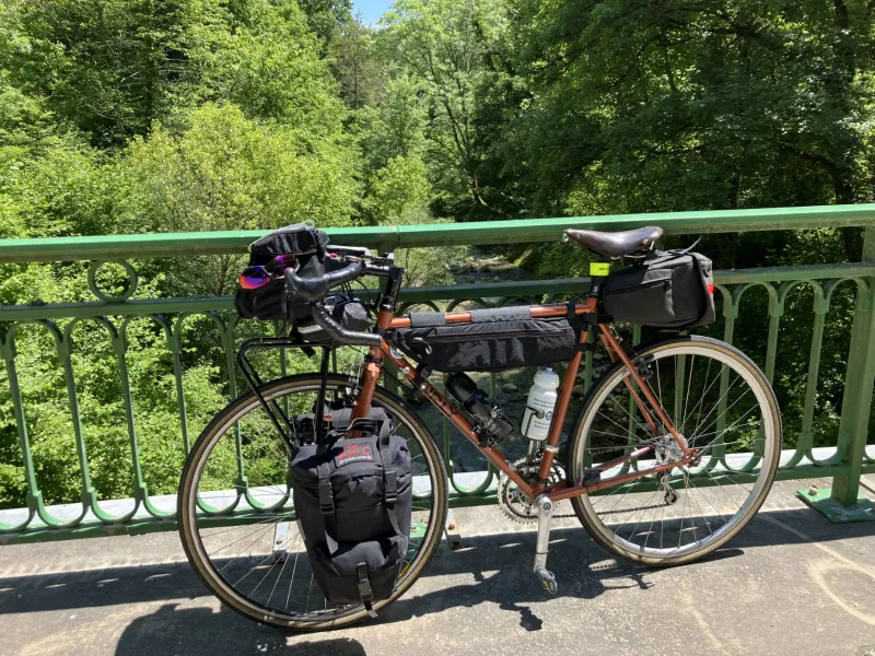
- The whole cycle route involves 3,722m of positive shift in altitude. You’ll be riding at between 400m and 1,200m in altitude throughout. This means the cycle route is geared to very fit, highly experienced cyclists confident of being able to tackle a whole series of climbs to passes, plus technically-demanding descents, even when transporting all their own equipment. This route’s key feature isn’t the distance involved, but the elevations.
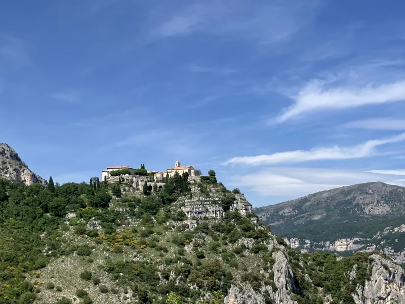
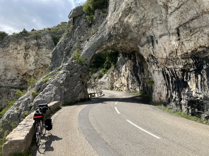
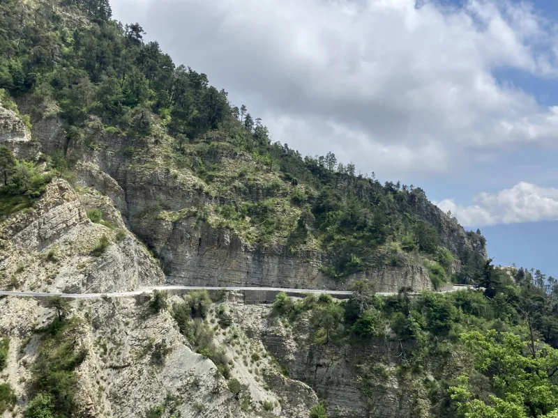
- While the clockwise route has been selected in order to avoid climbing slopes with 15% gradients, it still means you have to be able to manage safely descents involving such steepness, notably along the D3 road between Gourdon and Grasse. There are two further major descents, between Toudon and Gilette, and between Coursegoules and Gréolières.
- After storms, given that strong rains can cause rockfalls, take special care, especially on the descents, as you may encounter rocks or pebbles scattered across the roads.
Motorized traffic can be very busy in parts, so take great care on certain sections
- Between Gourdon and Châteauneuf-Grasse (Magagnosc) along the D3 road, including a very steep descent at a gradient of 15%;
- On the D2085B, along Avenue St-Laurent and Avenue Antoine de St-Exupéry crossing Grasse;
- Avenue du Général de Gaulle and Boulevards Pasteur and Belletrud along the D4 road between Grasse and Cabris
- Along the D11 and D13 roads between Cabris and St-Cézaire-sur-Siagne – riding along the D13 road, there is a section of cycle lane that’s been laid out, but only in parts.
Altitude of main passes, towns and villages along the cycle route
- Grasse: 350 m
- Col de la Lèque: 694 m
- Col du Ferrier: 1 041 m
- Col de la Sine: 1 104 m
- Gréolières: 836 m
- Plan du Peyron: 1 141 m
- Thorenc: 1 205 m
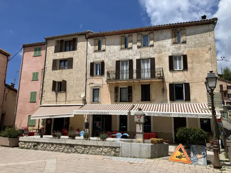
- Ascros: 1 150 m
- Gilette: 450 m
- Roquestéron: 672 m
- Conségudes: 640 m
- Bouyon: 637 m
- Coursegoules: 1 000 m
- Cipières: 740 m
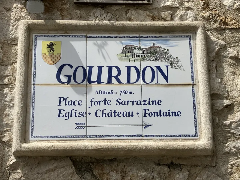
- Gourdon: 760 m
Weather and seasons
- As regards weather in these parts, cicadas set the tone!
If you hear cicadas singing, it means that the weather has warmed up, as these insects only start their song from 22°C – an indication that you’re likely to work up an even greater sweat to reach the top of the passes! - Best take on the GT des Préalpes d’Azur in the good conditions that prevail between April and October. From spring, you can often make the most of very sunny weather. However, we do not advise tackling the route during the hottest two months of summer, July and August, as temperatures can become uncomfortably high. In whatever season you ride along the route, do make sure you take plenty of water with you and put on strong sun protection cream, especially with all the south-facing slopes to negotiate.
Gradients and elevation
Road types
Surface
Trains and transport on the route
Access by train:
- Southernmost station: Grasse
- Northernmost station: Puget Théniers
From Paris-Austerlitz, the Paris–Nice night train makes it easy to set off on an adventure with complete freedom. Bicycle booking is compulsory. Get off at Cannes and then take the TER to Grasse.
Reviews for Grand Tour des Préalpes d'Azur by bike
"Accueil Vélo" accommodation on Grand Tour des Préalpes d'Azur by bike
9 Accueil Vélo accommodations await you on Grand Tour des Préalpes d'Azur by bike!
View accommodations on the map
The 6 stages of Grand Tour des Préalpes d'Azur by bike
1 Grasse / Saint-Vallier-de-Thiey
2 Saint-Vallier-de-Thiey / Thorenc
3 Thorenc / Aiglun
4 Aiglun / Gilette
5 Gilette / Bouyon