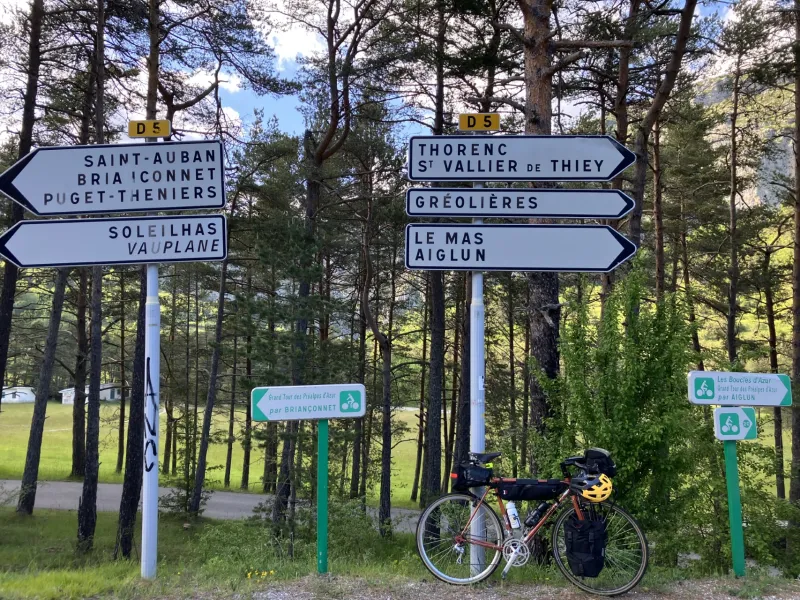
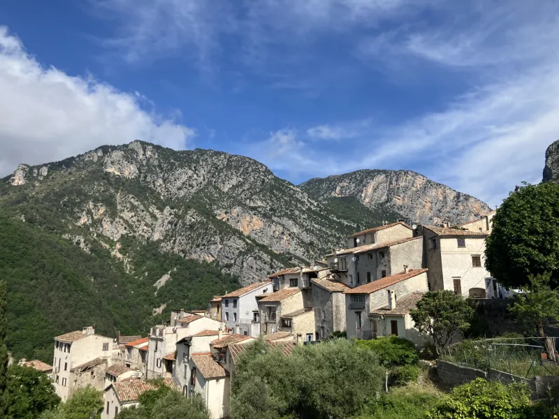
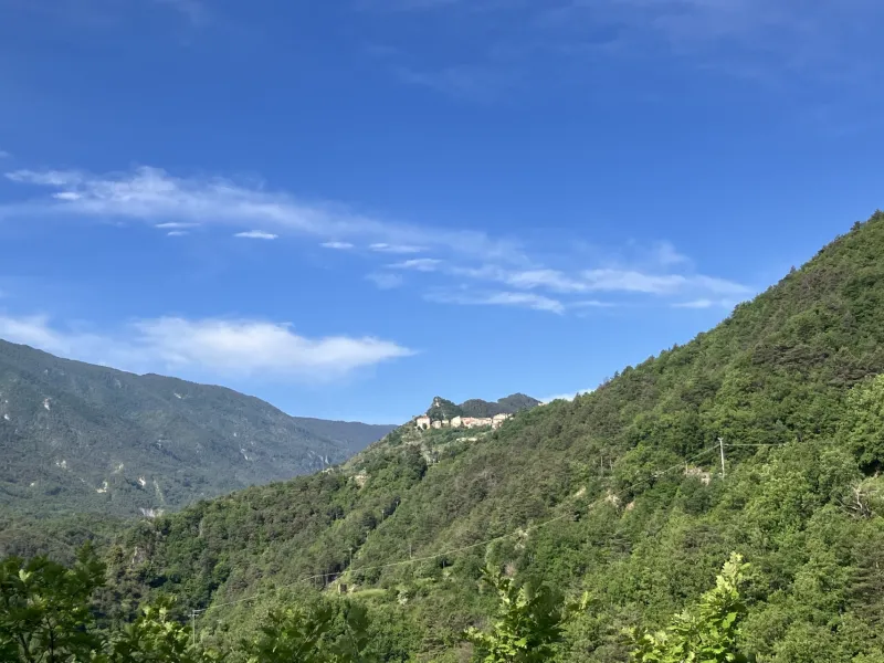
Thorenc / Aiglun
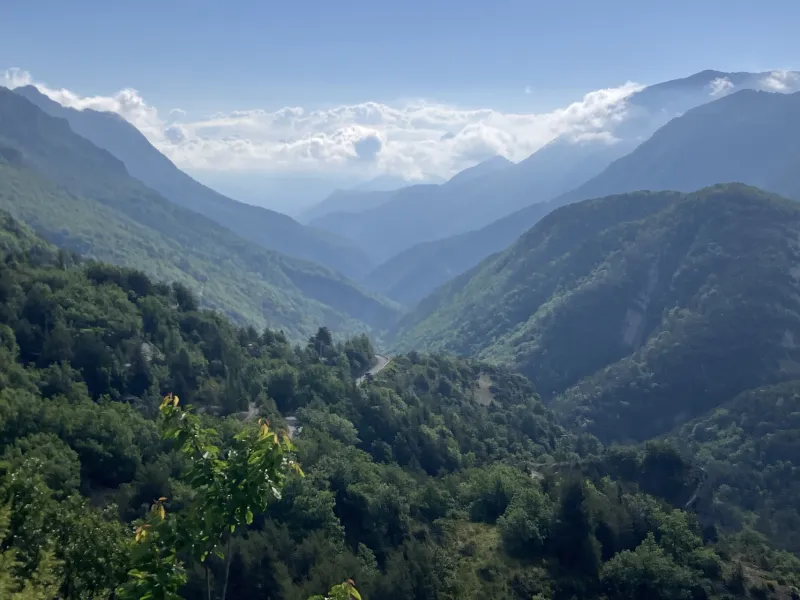
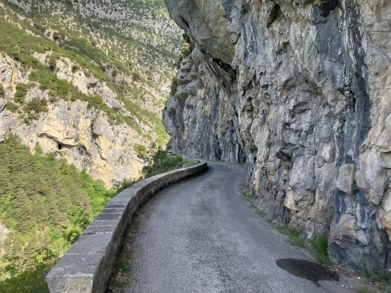
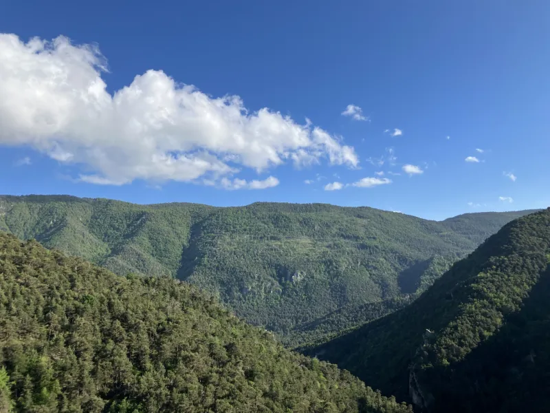
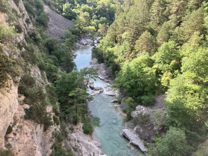
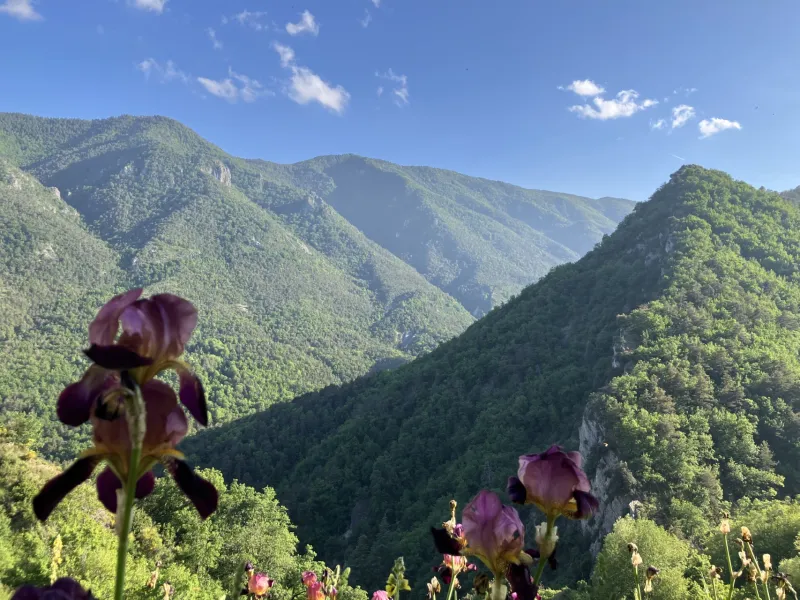
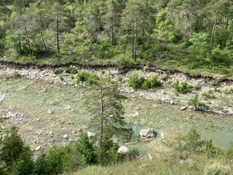
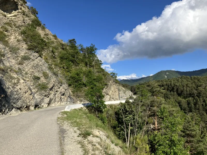
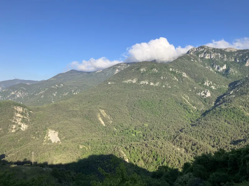
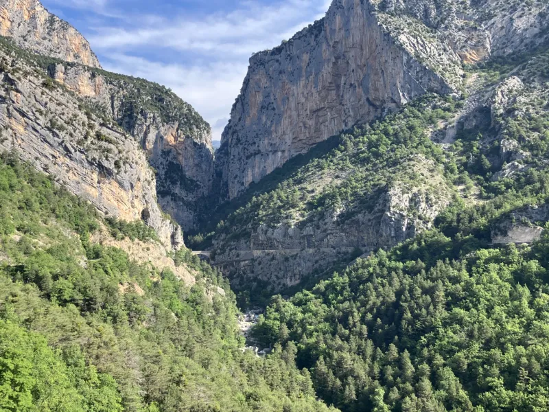
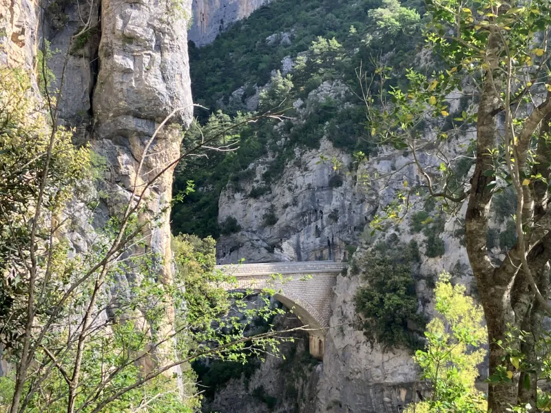
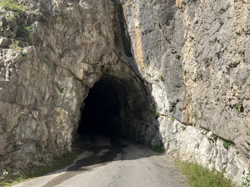
You continue riding onwards at an average altitude of approximately 1,100 m as you leave the Plan du Peyron and Lane Valley to head further into France’s pre-alpine ranges via the Artuby Valley. On this stage, the Grand Tour des Préalpes d’Azur briefly takes you into the French county, or département, of Alpes de Haute-Provence. After the village of La Foux, as ever on a road shared with motorized traffic, you ride through scenic Alpine landscapes to reach the outskirts of St Auban and the confluence of the Estéron and Faye Rivers. Next, you cycle along the picturesque little Faye Valley before joining the Les Sausses road to continue through the very narrow, steep Gironde Valley. After the exceptionally spectacular Pont de la Clue, a bridge over the Estéron, climb to the perched village of Aiglun.
The Route
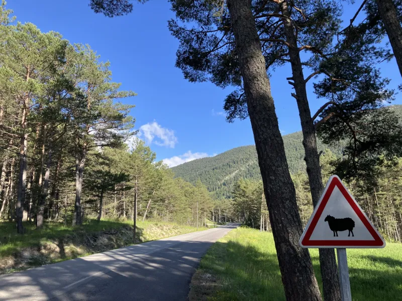
This stage of the Grand Tour des Préalpes d’Azur is less mountainous, but following the D2 and D2211, cyclists still have to deal with a series of faux plats, seemingly flat stretches that in fact conceal climbs and descents. After St Auban, you follow the D5 road, then the D10 to Aiglun. Below Le Mas, at the level of the place named Le Moulin, the D10 road takes you gradually up to Aiglun.
Link of 14 km from St Auban to Puget-Théniers, the latter with a railway station.
Gradients and elevation
Road types
Surface
Don't miss
- Thorenc: a calm little resort surrounded by forests, known for its beneficial climate (hence its status as a station climatérique) and for its winter skiing (as a station de ski); the nearby lake; the Réserve Biologique des Monts d’Azur, an animal reserve where Przewalski horses as well as bison are provided with a protected environment as they’re reintroduced to the wild.
- Valderoure: the former fortified manor; Ste-Léonce Chapel and St-Roch Oratory
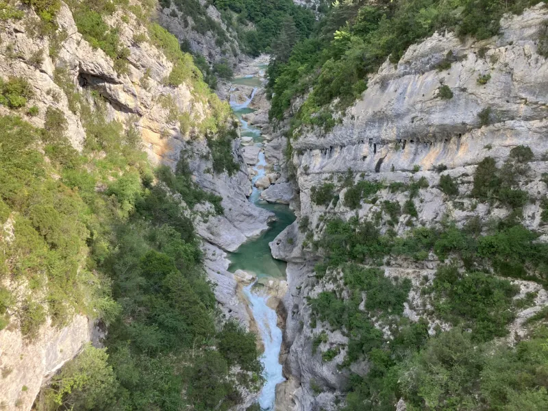
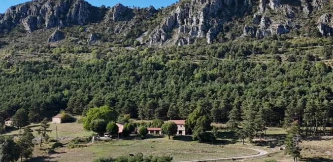
- Aiglun: a village whose name means “water fortress”, boasting the tallest waterfall in the département of Alpes-Maritimes, plus, below, two canyons of international renown, to try out the exhilarating water sport of canyoneering.
Find your accommodation on this stage

Trains and transport on the route
SNCF train services and stations
- The nearest station (14 km): Puget-Théniers, via a signposted link