La Châtre / Boussac
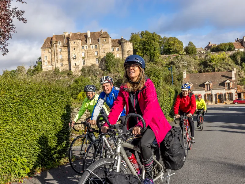
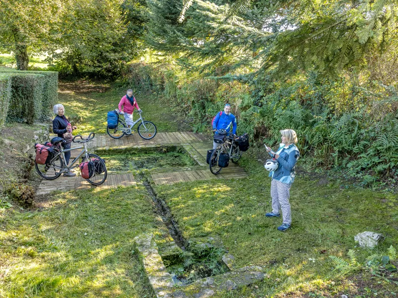
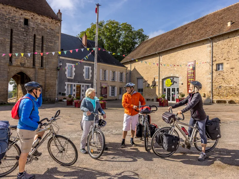
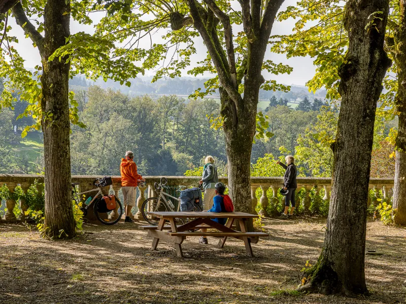
Your cycling journey along the Indre à Vélo cycle route continues through hillier terrain and traditional hedge-divided fields. This stage brings you closer to the foothills of the Massif Central, leading you to the source of the Indre River at Saint-Priest-la-Marche. Crossing into the département (or county) of Creuse, the Tour de Creuse à Vélo cycle route now becomes the guiding thread up to the next stopover town. All around, nature and greenery dominate. Following in the footsteps of novelist George Sand, enjoy a halt in Boussac with its perched château, in a place where she loved to stay.
The route
Itinéraire balisé sur départementales et petites routes.
Links
Between La Châtre and Briantes, the Indre à Vélo cycle route crosses the Saint-Jacques à Vélo - Via Vézelay cycle route linking Vézelay in Burgundy to Limoges.
Around Boussac, you join the Tour de Creuse à Vélo cycle route up to Chambon-sur-Voueize.
Gradients and elevation
Road types
Surface
Don't miss :
- La Châtre: Le Pont aux Laies
- Pouligny-Notre-Dame (6 km away): Gazeau Tower, Ligny leisure centre
- Sainte-Sévère-sur-Indre: Place de la Halle, Museum "Maison de Jour de Fête", terrace of the castle
- Saint-Priest-la-Marche: Source of the Indre
- Boussac-Bourg: fresh blueberries from Trimoulet
- Boussac: Boussac castle