Canals & intimate rivers
15,85 Km
1 h 03 min
I begin / Family
15,85 km cycling route from Beaugency to Muides-sur-Loire
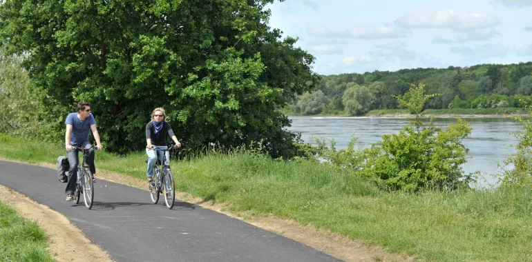
The contrast between the picturesque old Loire-side villages and the electricity power station at St-Laurent-des-Eaux shows how important the Loire has been for so many human activities, past and present. A lovely cycle path runs beside the river from Tavers to Avaray, offering a flat, easy stretch as you approach the Pays des Châteaux tourist area with its famed castles around Chambord and Blois.
Elevation of the stage
0 m 0 m
Waytypes of the stage
Cycle path: 4,59 km By road: 14,68 km
Surface of the stage
Smooth: 18,43 km Unpaved: 0,01 km Unknown: 0,82 km
Route
The route alternates between sections of greenway and shared roads, often going along the raised Loire-side levée. From Muides Bridge, there’s a link to the train station at Mer. It’s worth taking the short detour to see the old village of Tavers.
Railway Station - SNCF
Beaugency train station
Mer train station (linked to the main cycle route via a stretch along the D 112 road)
Don’t miss
Beaugency: with beautiful historic streets and monuments, including the major Notre-Dame Abbey and the Château Dunois, plus a stunning medieval bridge across the Loire
Tavers: a lovely tranquil village; neolithic dolmens
Lestiou: a pretty washhouse
Avaray: for château and church.
Markets
- Beaugency : Saturday all day
- Mer : Thursday afternoon
Tourist Information centre
- Beaugency : +33(0)2 38 44 54 42
- Muides-sur-Loire : +33(0)2 54 87 58 36


Travellers’ reviews