Nantes / Le Pellerin
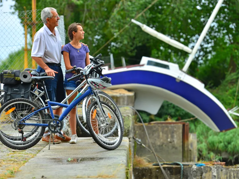
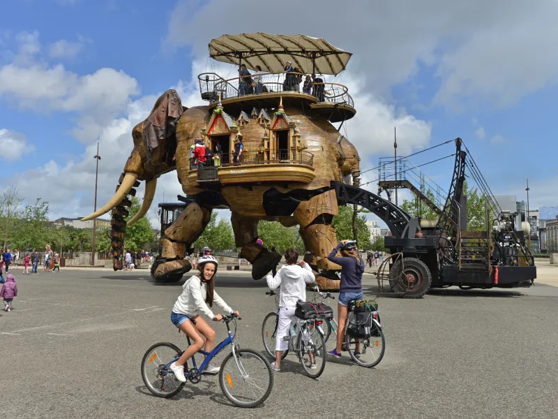

Contemporary art features large along the Loire’s long estuary and this stage shared by the Loire à Vélo and Velodyssey cyles routes. The installations are startling, set in unusual locations. They offer joyous surprises close to the city of Nantes.
Itinerary
Nantes is transforming itself, building 3 new mass transit lines and a new bridge, to be delivered by the end of 2027.
During the works, La Loire à vélo will continue to run along Quai de la Fosse, but the cycle path will be adapted to the site environment.
On the right-hand bank of the Loire, the cycle routes are currently uneven: cycle strips and lanes. Traffic is particularly heavy here, so caution.
Alternative and connections
A route south of the Loire is currently under development - from Île de Nantes > Trentemoult > Bouguenais > La Montagne > St-Jean-de-Boiseau > Le Pellerin. This will, in particular, allow the discovery of another part of the perennial works displayed on the Estuary as well as a more natural Loire.
Connections on the route towards stations.
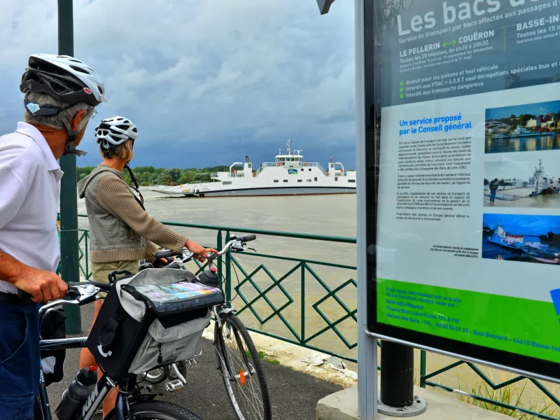
ATTENTION: the ferryboat does not work on May 1st.