La Guerche-de-Bretagne / Martigné-Ferchaud
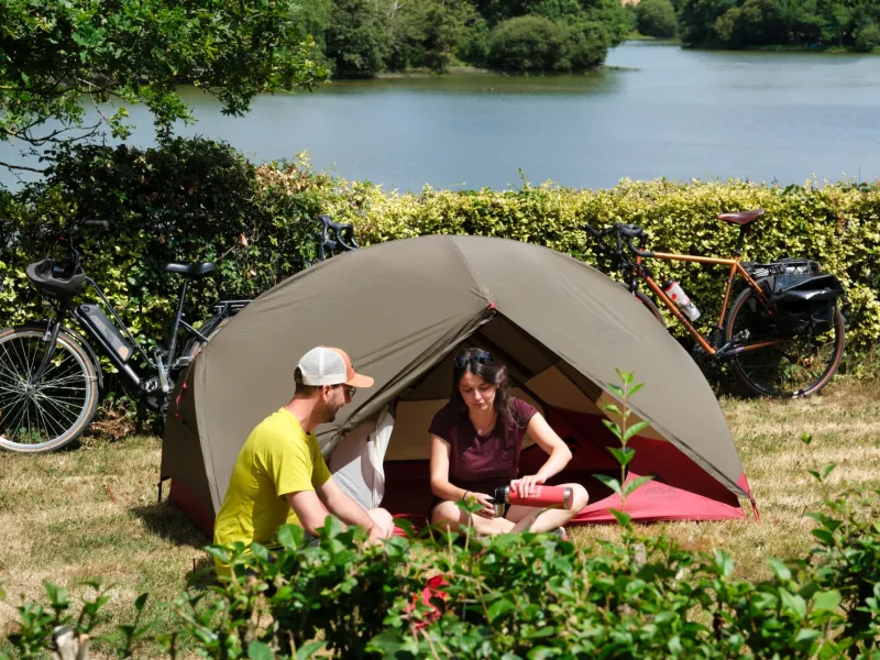
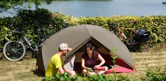
It doesn’t take long to cycle through La Guerche Forest to reach the Pays de la Roche aux Fées, an area known for a startling neolithic, megalithic site, to be admired in the parish of Essé. In the surrounding countryside, you can spot water all around… and, should you possess special powers, the fairies that feature in the area’s name! Enchanted, you’ll arrive at Martigné-Ferchaud. After stocking up with provisions in this little town, it’s tempting to stop at the Étang de la Forge, a lake beside which you can picnic or even camp for the night, possibly dreaming of supernatural little people! In summer, festivities are organized beside the lake, notably an extraordinary theatrical fireworks display entitled Les Etincelles Aquatiques (beginning of August). Enjoy the opportunities available for a quite magical stop before continuing on the Régalante cycle route.
The route
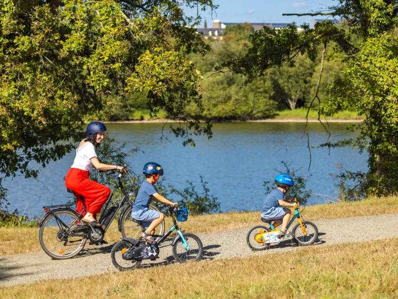
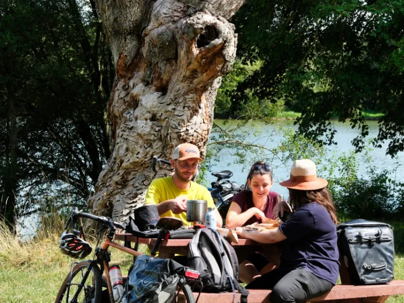
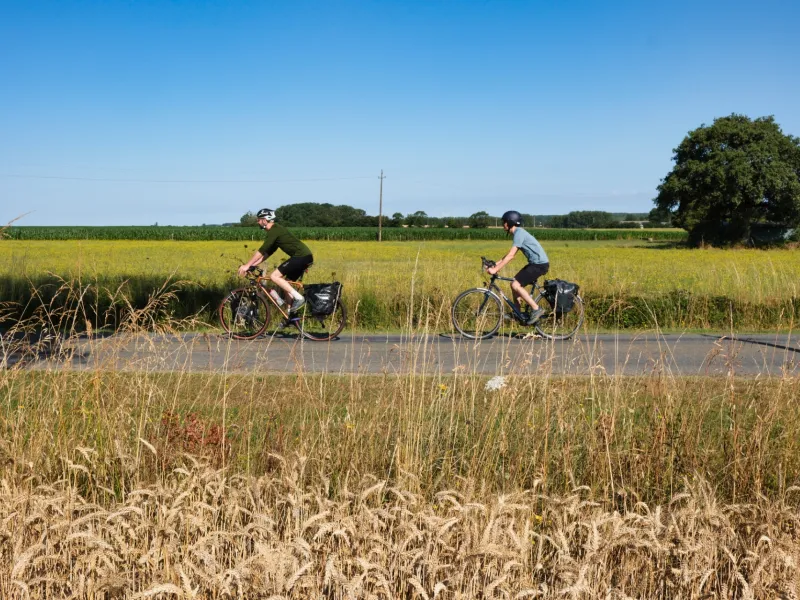
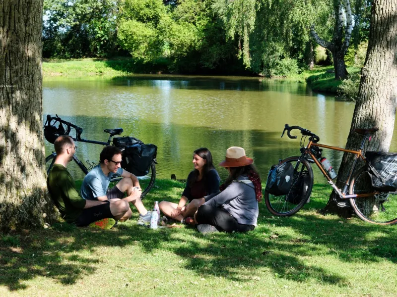
First, on a road shared with motorized traffic, going along the RD95 from the place named Le Pavillon à Drouges up to Chelun (crossing La Guerche-de-Bretagne Forest), with signs indicating "présence de cyclistes" to remind drivers to take care. The next stretch takes you along quiet little country roads shared with motorized traffic, from Chelun on via Eancé to Martigné-Ferchaud. There are some slopes to tackle, but this is essentially an easy stage, suitable for young and old alike. There’s a welcome shaded place to stop under trees, beside the lake, the Étang de la Forge de Martigné-Ferchaud.
Gradients and elevation
Road types
Surface
Don't miss
- Martigné Ferchaud : the Etang de la Forge, with its municipal campsite, offering the possibility of a stopover, for a night, or of a hike around the lake (12.5km in total, easy level); Espace Naturel du Département 35 (an ornithological reserve).
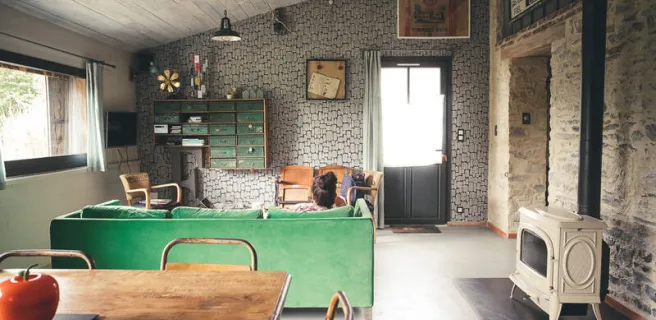
Find your accommodation on this stage
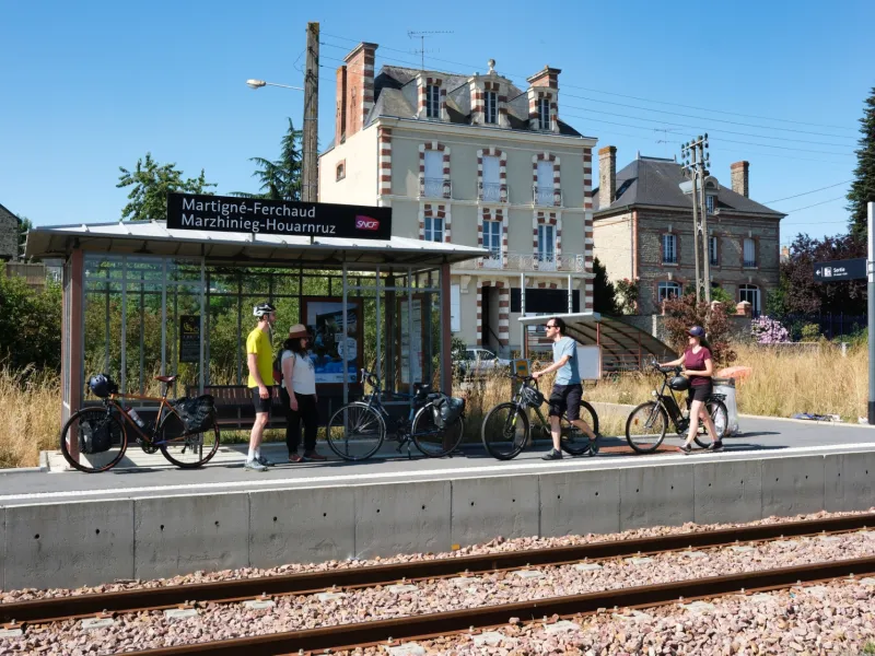
Trains and transport on the route
SNCF
- Martigné-Ferchaud train station