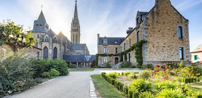
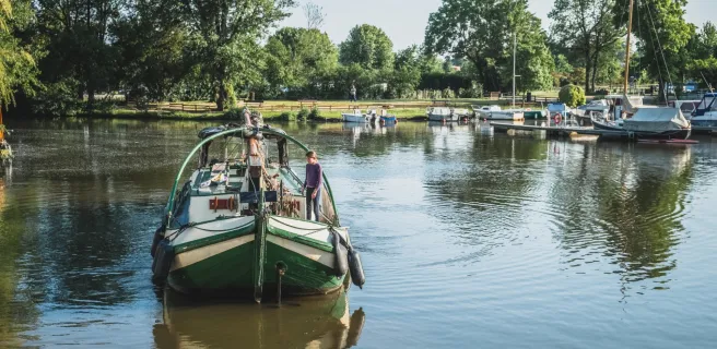
La Régalante
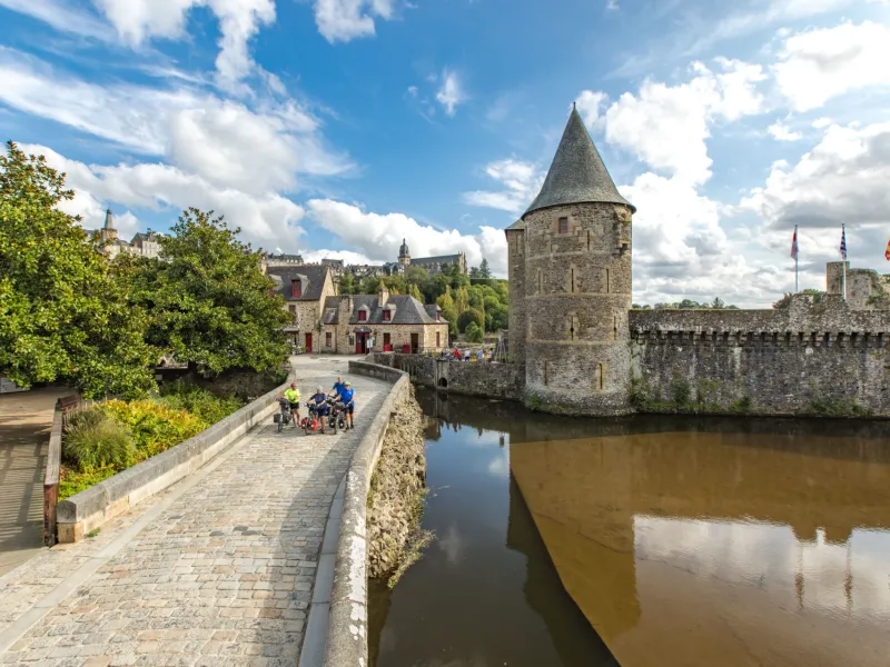
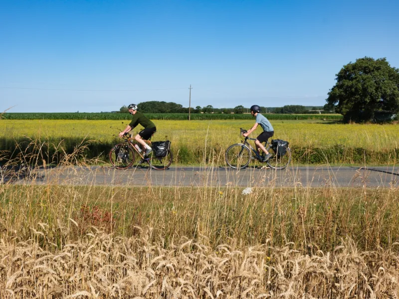
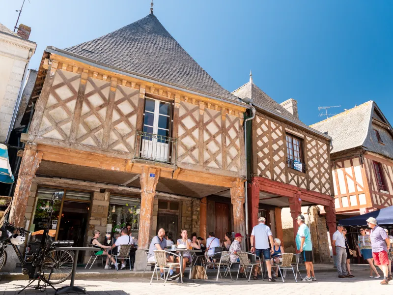

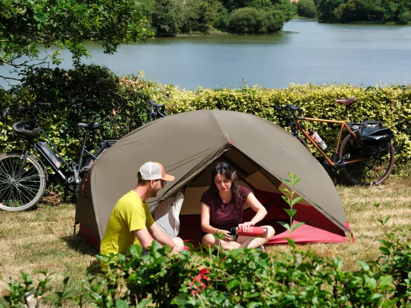
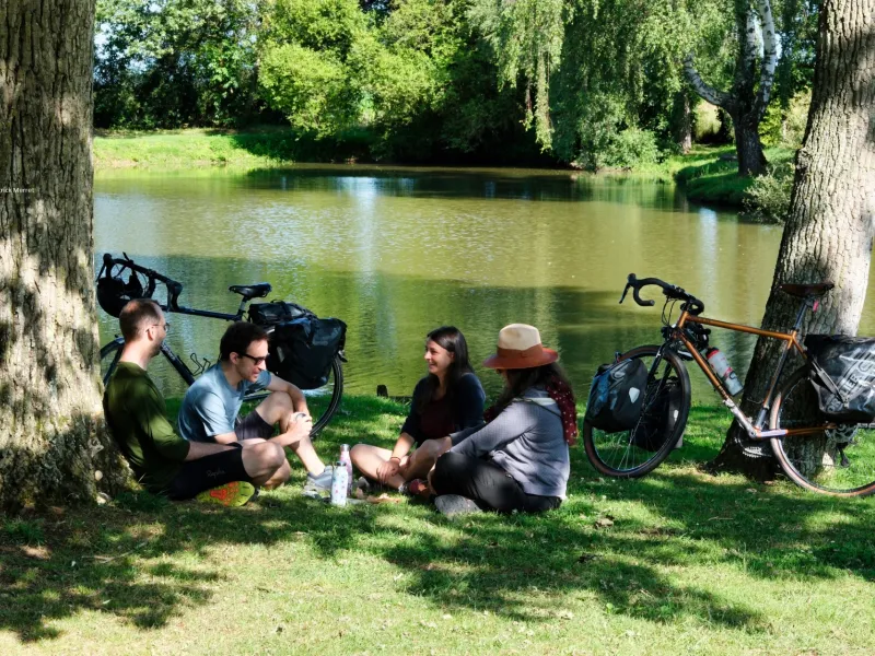
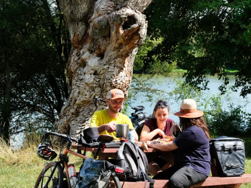
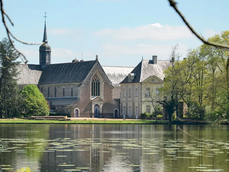
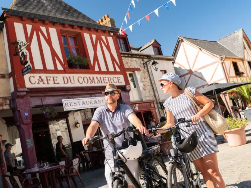
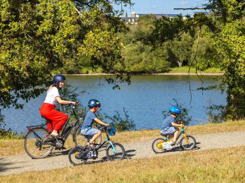
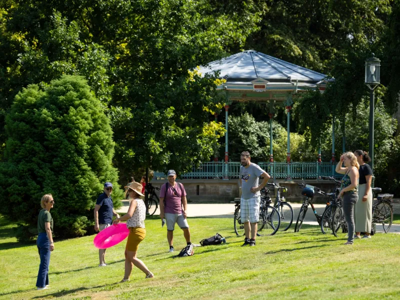
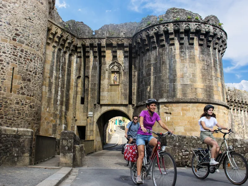
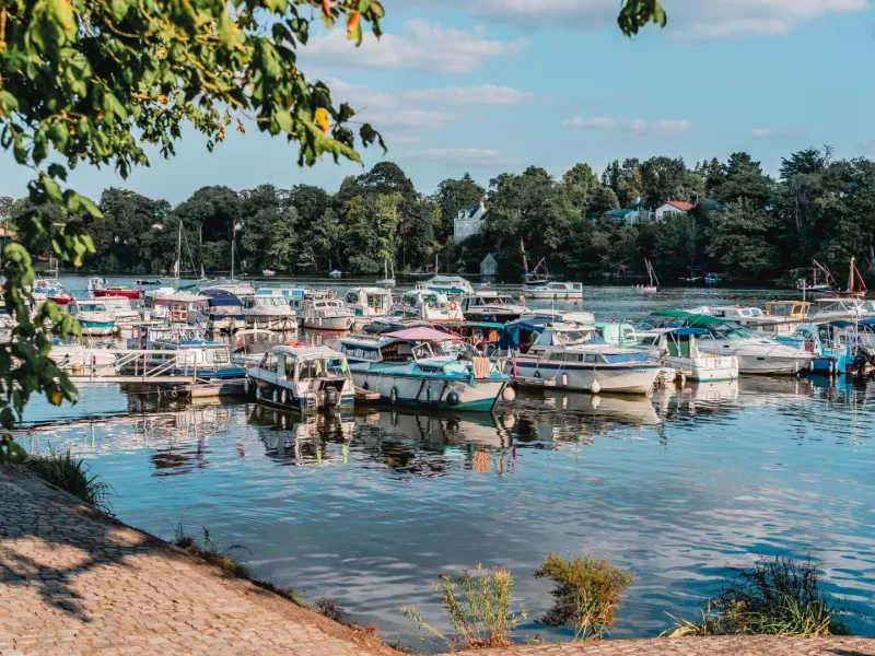
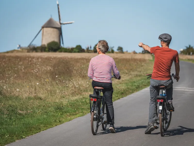
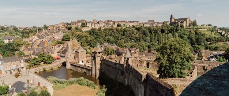
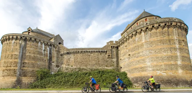
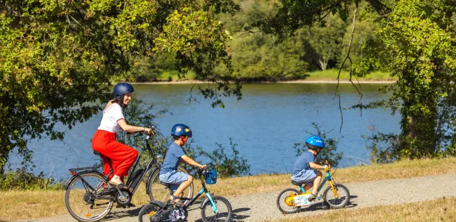
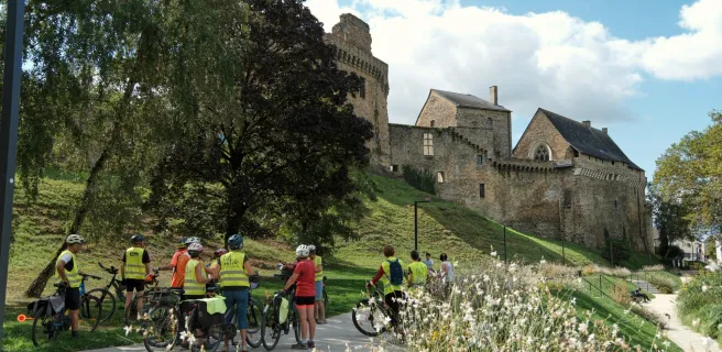
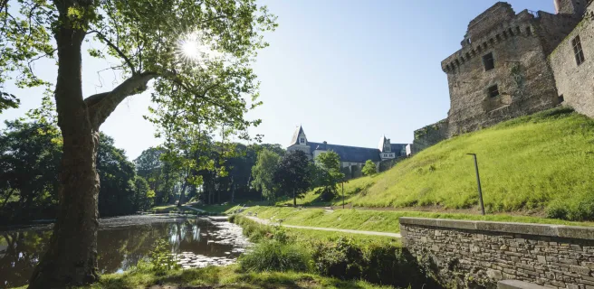
The Régalante cycle route links the Mont Saint-Michel to Nantes, enabling cyclists to travel peacefully down the eastern Marches of Brittany. It guides you north-south via a string of medieval fortresses, large and small, that once guarded the border zone between the Duchy of Brittany and the Kingdom of France. So, history effectively created this trail! Take the odd detour to unearth delightful little gems off the beaten track, hidden in beautiful countryside. Along the way, also enjoy tranquil rivers, lakes of different types, forests, character-filled villages, medieval castles, former mines and engineering wonders… so many varied, unusual facets that add interest the length of this cycle route. With lovely stretches of greenways, reasonable daily distances to cycle, and culinary pauses at which to enjoy Breton specialities (such as a galette saucisse, a sausage wrapped in a pancake!), this is a perfect route to test out a gentle cycling adventure for the first time.
Signposting
This cycle route is in fact signposted in both directions, displaying the logo for La Régalante.
A few local specifics: in the département (French county) of La Manche (in Normandy), the cycle route is indicated on most signposts as V409.
From La Chapelle-sur-Erdre, north of Nantes, follow signs for La Vélodyssée to reach Nantes city centre.
Level of difficulty
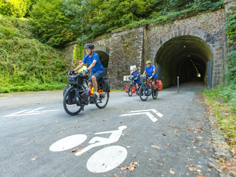
easy, as this cycle route involves very little shift in altitude and some 50% of the total 275km is on segregated cycle routes (on greenways – voies vertes in French)
Gradients and elevation
Road types
Surface
Trains and transport on the route
Access by train:
- To reach the starting point (Mont-Saint-Michel): Pontorson-Mont Saint-Michel station
- From the finish (Nantes): Nantes station
View infrastructure on the map
Reviews for La Régalante
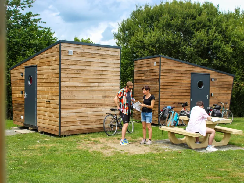
"Accueil Vélo" accommodation on La Régalante
49 Accueil Vélo accommodations await you on La Régalante!
View accommodations on the map
Séjours clés en main
Partez l'esprit léger sur ce parcours avec les séjours organisés de nos agences partenaires.


The 9 stages of La Régalante

1 Le Mont-Saint-Michel / Maen Roch
2 Maen Roch / Fougères
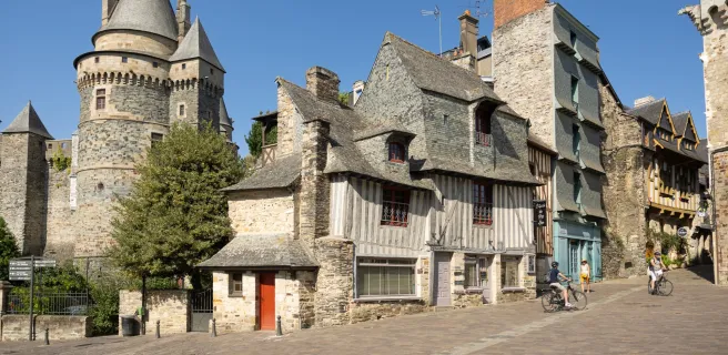
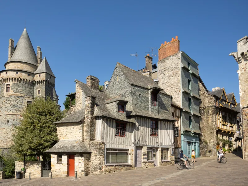
3 Fougères / Vitré
4 Vitré / La Guerche-de-Bretagne
5 La Guerche-de-Bretagne / Martigné-Ferchaud
6 Martigné-Ferchaud / Châteaubriant
7 Châteaubriant / La Meilleraye-de-Bretagne
8 La Meilleraye-de-Bretagne / Nort-sur-Erdre