Martigné-Ferchaud / Châteaubriant
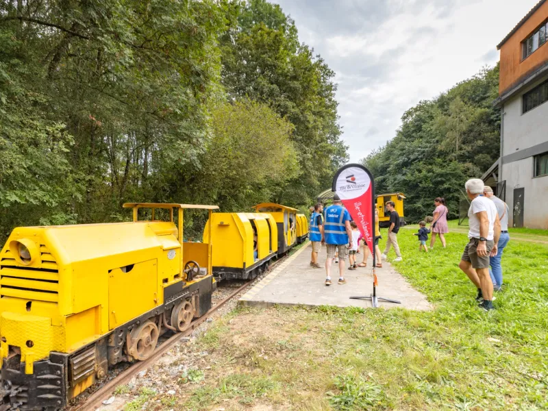
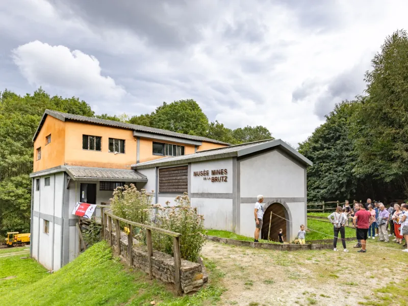
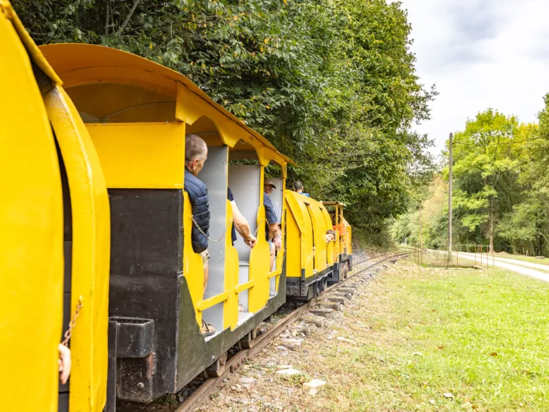
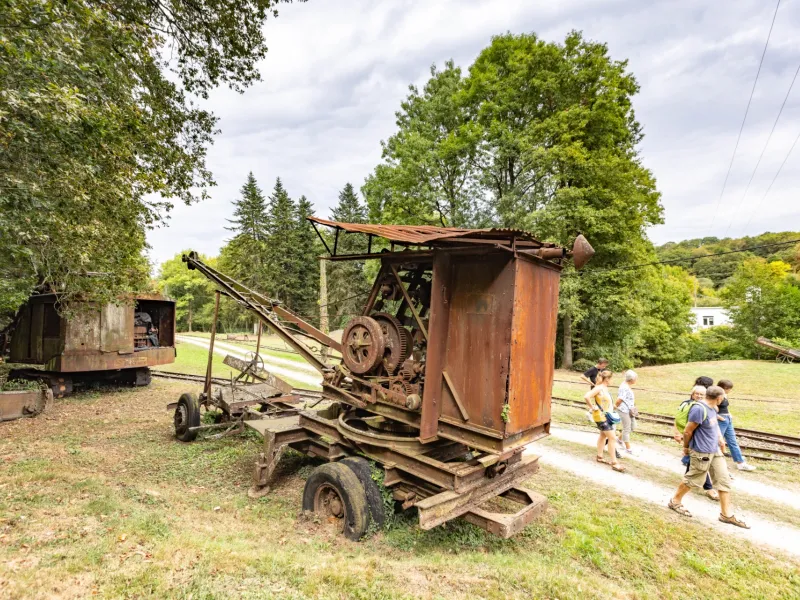
Thourie, an unspoilt little town, is an enticing place in which to try out all manner of local produce at the Saturday morning markets – one of the joys of the Régalante cycle route is the way cyclists can often pick up provisions out in the open… just a little like those professional cyclists with a musette food bag strung across their shoulder! Further on, the parish of Teillay conceals some lovely heritage surprises: the Mines de la Brutz, iron mines converted into a museum; the bucolic Parc Saint Eustache; and the Tombe à la Fille, a tomb in the woods related to a Revolutionary killing. Teillay is a great place to enjoy a rest, during which you can discover this local heritage and make the most of the shops. Once Thourie explored, it’s back on your bike to head to Châteaubriant for an evening in town, drinking in views of the place’s imposing château.
The route
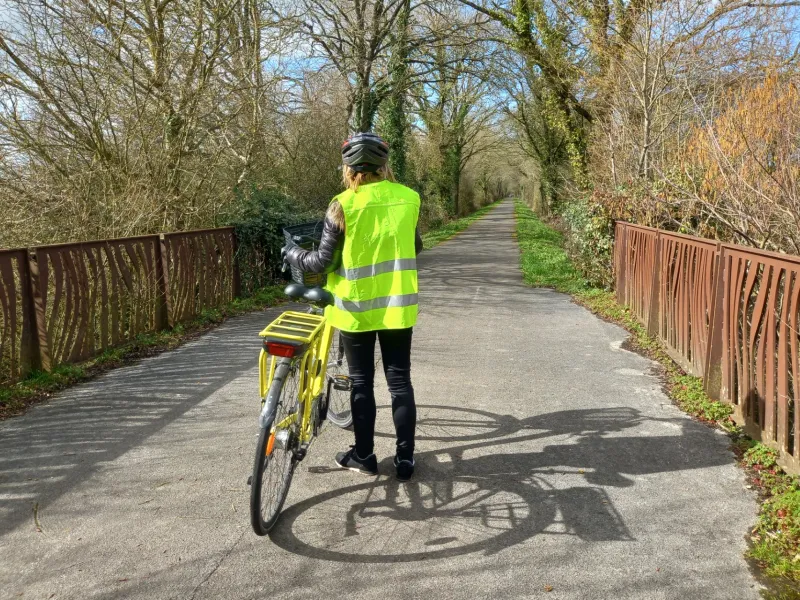
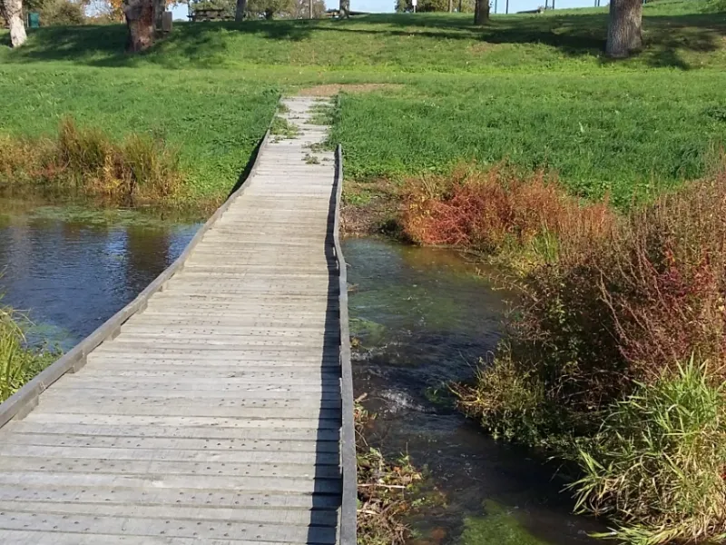
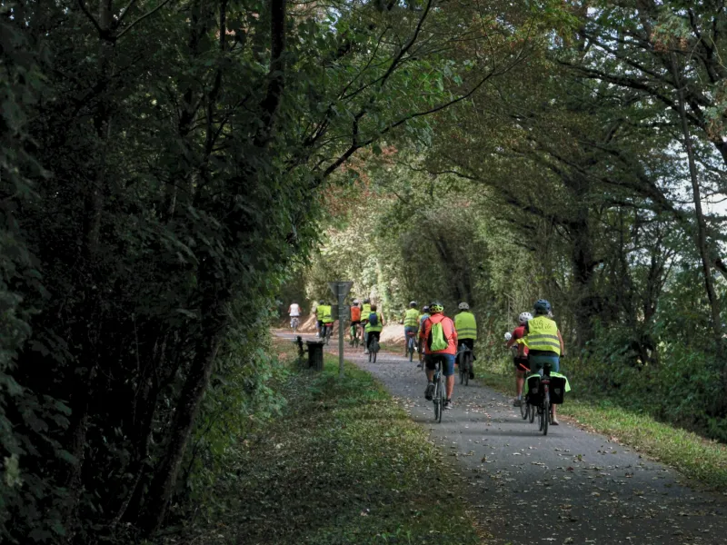
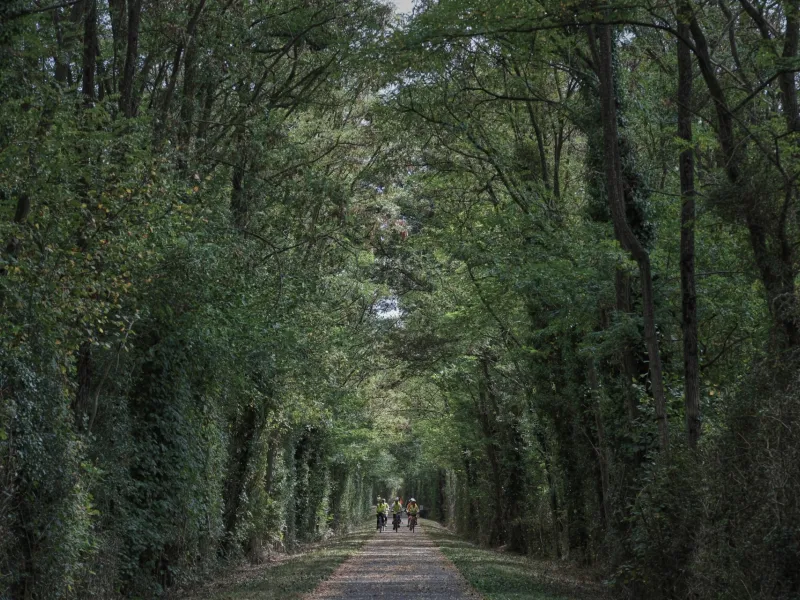
From Martigné-Ferchaud to the Mines de la Brutz, you cycle along quiet country roads with little motorized traffic. Between Rougé and Châteaubriant, enjoy 13km along a lovely greenway.
Gradients and elevation
Road types
Surface
Don't miss
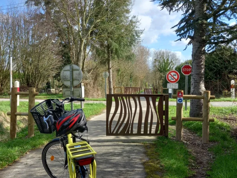
- Rougé : outdoor activities site Les Vallées, plus the Bois de Saint Joseph (a wood), to stretch your legs; secure bike shelter on the side of the church in the centre.
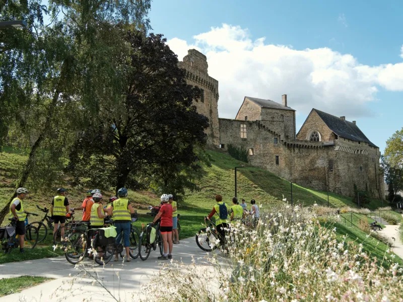
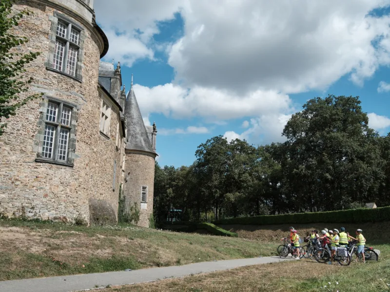
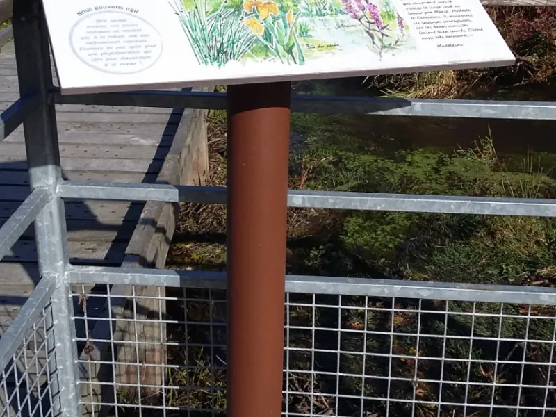
- Châteaubriant: the medieval heart of town; the château, composed of a medieval fort and a Renaissance section, with the Promenade du duc d'Aumale to the side; the Site de Choisel, offering a relaxing green setting; the Musée Micro-folie, to plunge into culture and art via digital displays from major French national collections; the Carrière des Fusillés and Musée de la Résistance, to learn about the place’s war history and Resistance martyrs.
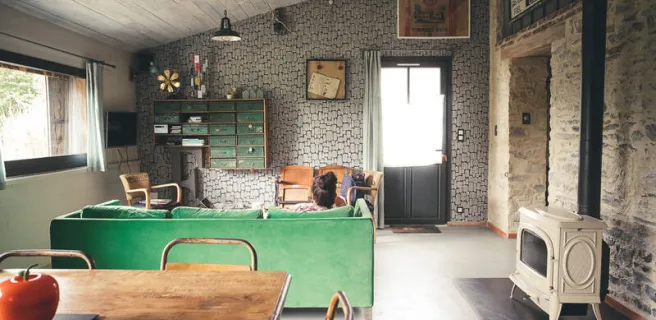
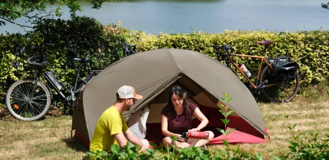
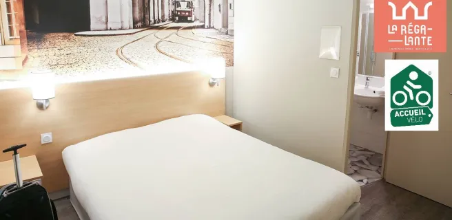
Find your accommodation on this stage
Trains and transport on the route
SNCF
- Martigné-Ferchaud and Châteaubriant train stations