

Montluçon / Chambon-sur-Voueize

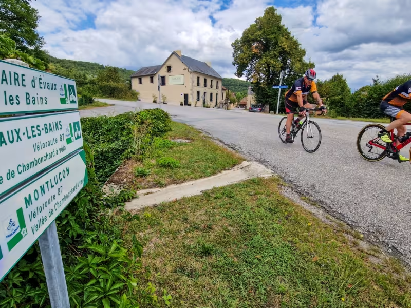
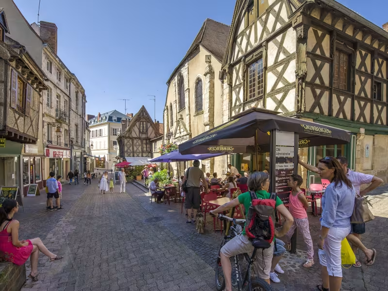
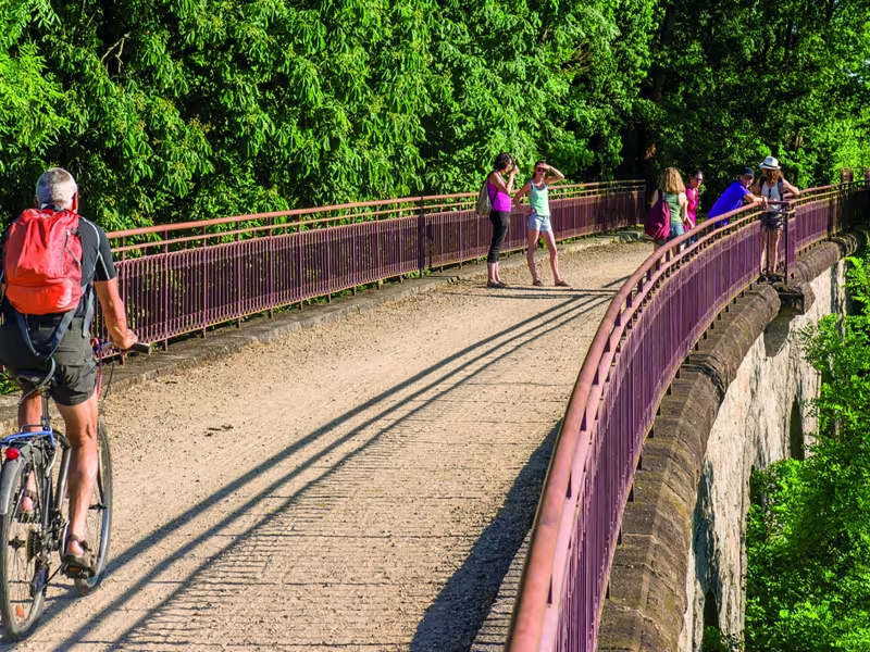
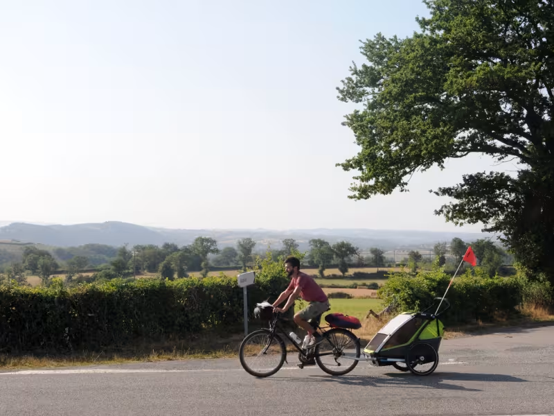
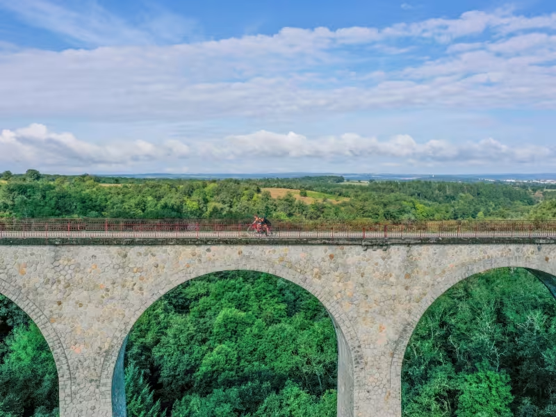

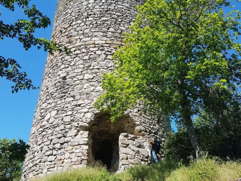

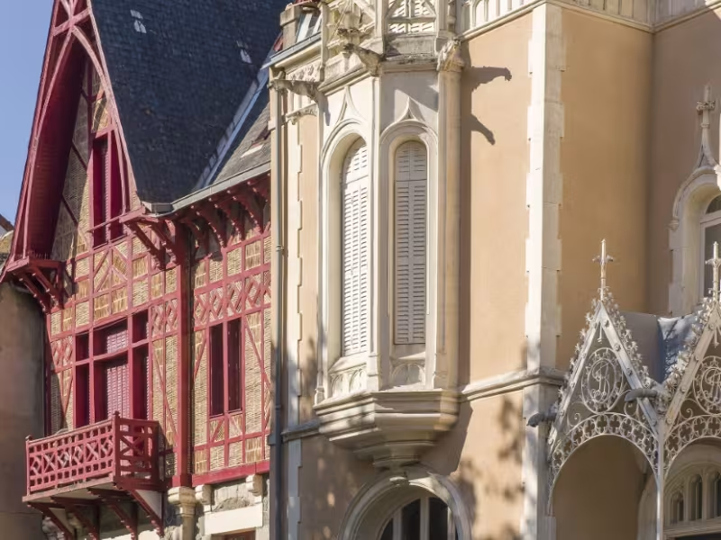
The appealing, northern starting point for La Vagabonde cycle route is Montluçon, in the département (French county) of Allier. This mellow, musically-minded town is overseen by its ducal Bourbon castle. Wander through the medieval quarter below, seek out the exotic-style villas designed by architect Pierre Diot in the first half of the 20th century, and follow the melodious trail at the MUPOP (or MUsée des Musiques POPulaires). Our cycle route then proposes a gentle-paced start, this stage beginning with a 6km-ride along a comfortable, lovely greenway linking Montluçon to the little thermal spa resort of Néris-les-Bains. The rhythm then changes as you tackle the first hilly roads through the Combraille area, its landscapes offering a mix of hedge-divided fields, heathery moors and forests. The village of Chambonchard, crossed by the Cher River, marks your arrival in the département (county) of Creuse (boasting its own thermal spa resort, Evaux-les-Bains) as you head for Chambon-sur-Voueize, a green town set beside a crystal-clear river.
The Route
Leaving southeast out of Montluçon via Avenue J.-F. Kennedy, ride along a 6km-long greenway to Néris-les-Bains. Then the cycle route meanders along the Cournauron Valley via the RD155 road, up to Villebret. Cyclists need to go around the church here and head on towards Terjat. After 1.7km, turn right in the direction of Saint-Genest, following the RD452 road. Having crossed this little town, turn left onto the RD50 road for Sainte-Thérence, the route steeper heading to Mazirat. In this village, cyclists need to turn left onto the RD350 road towards La Petite Marche, then to plunge down along the RD109 road in the direction of Chambonchard, having crossed the Cher River. You reach the Tour de Creuse cycle route at Chambon-sur-Voueize.
Gradients and elevation
Répartition des pentes
Road types
Surface
Don't miss
- Montluçon: a town with a rich heritage, including a medieval quarter, making the old heart of town a fascinating place to explore.
- Néris les Bains: a small spa town set in green surroundings, originally established back in Gallo-Roman times, its natural thermal waters long celebrated and said to have significant calming properties, the place today preserving a Belle Époque charm, with its many period villas and its theatre.
- Nearby: the Château de l’Ours de Sainte Thérence standing out along the Cher Valley some 9km south of Montluçon, its medieval ruins, reached via a narrow track, offering remarkable views over the valley.
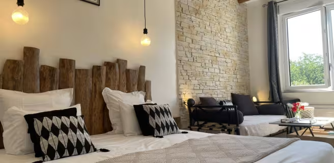
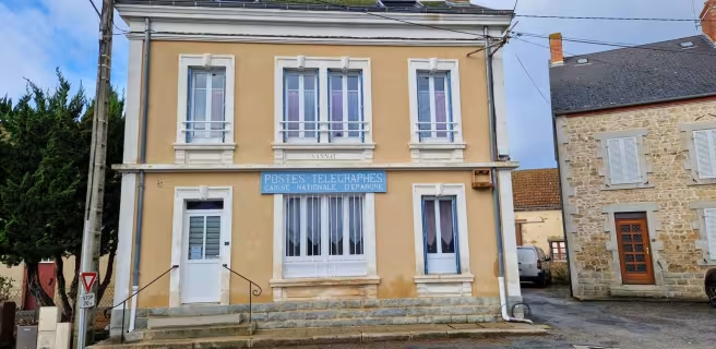
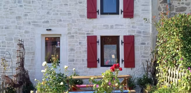
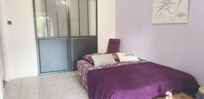
Find your accommodation on this stage
Trains and transport on the route
SNCF train stations
- Gare de Montluçon