La Vagabonde
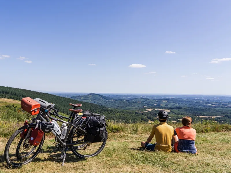
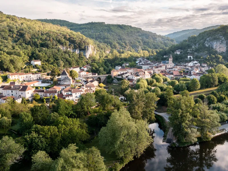

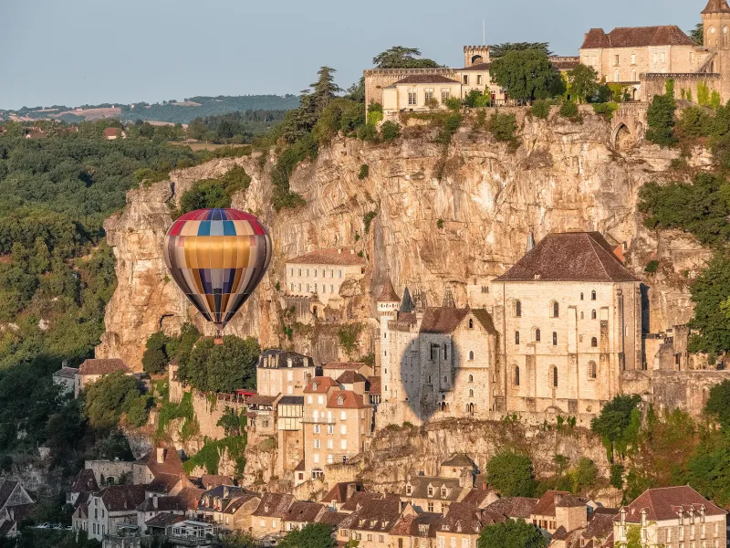
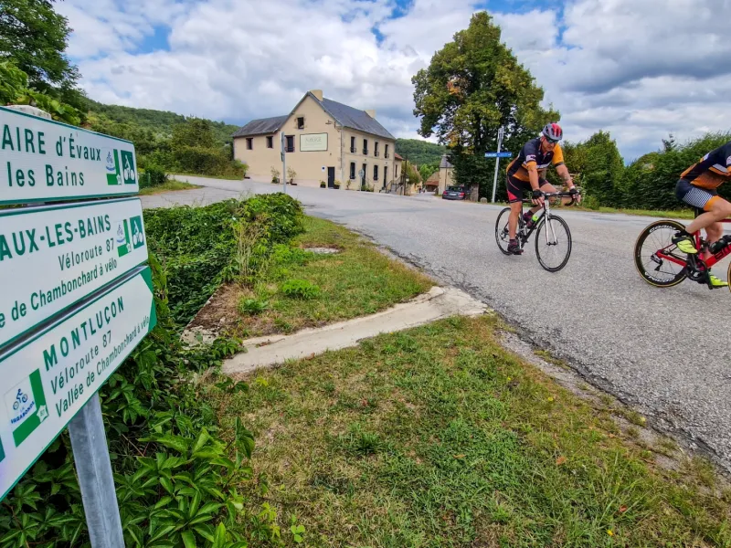
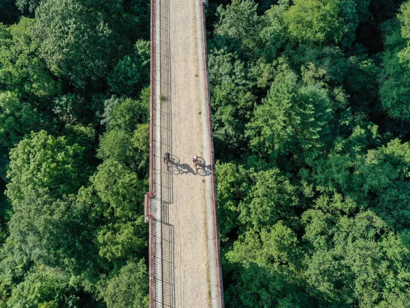

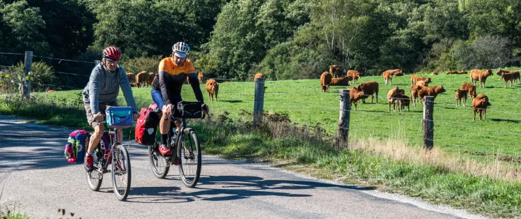
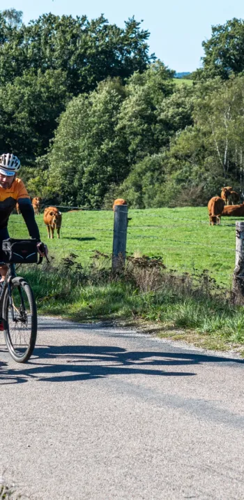
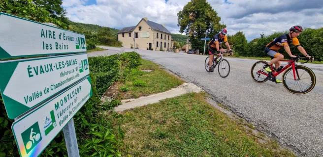
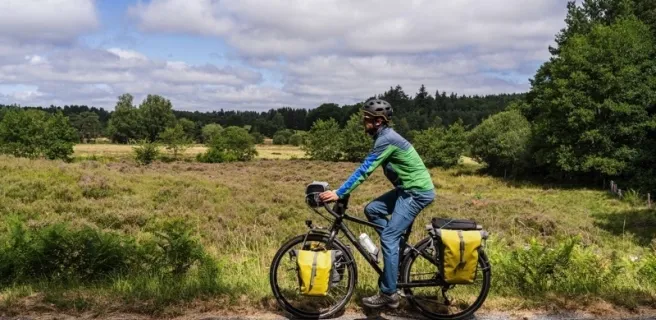
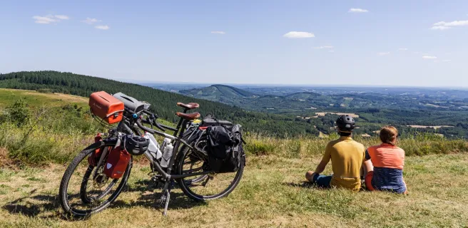
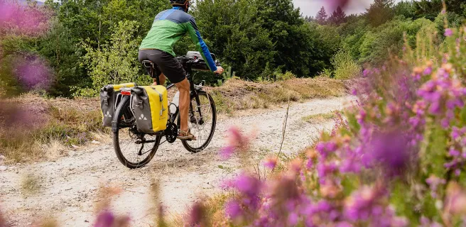
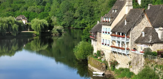
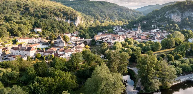
Its northern point in the heart of France, in the town of Montluçon, in the département (French county) of Allier, La Vagabonde cycle route offers riders an adventure across a great patchwork of unspoilt rural areas and a whole string of enchanting villages. The route leads southwestwards as far as Montech, a little town in the département of Tarn-et-Garonne. Embark on this wandering way on wheels, over 500km in length, to be wowed by startling discoveries and unexpected encounters. Riding via Vassivière Lake and the Plateau de Millevaches, the Dordogne Valley and the Quercy Causses (limestone plateaux), and lastly via the Lot Valley to reach the Canal de Garonne (which links with the Canal du Midi to the east – see our section on the Canal des 2 Mers à Vélo), experience concentrated, joyous contemplation of the diversity of ever-so-sweet southwest France. The cycle route sticks to quiet little roads, steering clear of big towns, focusing on delightful countryside. It offers a way to (re)discover many secretive parts of France by bike.
Signposting
Signposting has been put in place in both directions, La Vagabonde’s logo visible on most signposts.
Cycle route profile
This cycle route is moderately hilly. Stretches take you to over 700m in altitude, notably in the départements (counties) of Creuse and Corrèze. Make sure you have a suitable bicycle and best keep the weight to the front, a help for tackling passes, although these cols never reach 1,000m.
2,542m, in total, of positive shift in altitude | 3,120m, in total, of negative shift in altitude
Maximum altitude: 879m | lowest altitude: 131m.
Gradients and elevation
Road types
Surface
Cycling route ideas on the itinerary

The Tour de Creuse by bike
Not to be missed on this route

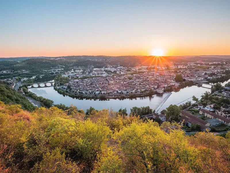
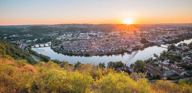
Cahors, a medieval architectural landmark
Trains and transport on the route
Access by train:
- To reach the starting point (Montluçon): Montluçon station
- From the finish (Montech): Montech station
View infrastructure on the map
Reviews for La Vagabonde
"Accueil Vélo" accommodation on La Vagabonde
62 Accueil Vélo accommodations await you on La Vagabonde!
View accommodations on the map
The 10 stages of La Vagabonde
1 Montluçon / Chambon-sur-Voueize

2 Chambon-sur-Voueize / Aubusson
3 Aubusson / Royère-de-Vassivière
4 Royère-de-Vassivière / Bugeat
5 Bugeat / Clergoux
6 Clergoux / Beaulieu-sur-Dordogne

7 Beaulieu-sur-Dordogne / Rocamadour
8 Rocamadour / Cahors
9 Cahors / Lafrançaise
