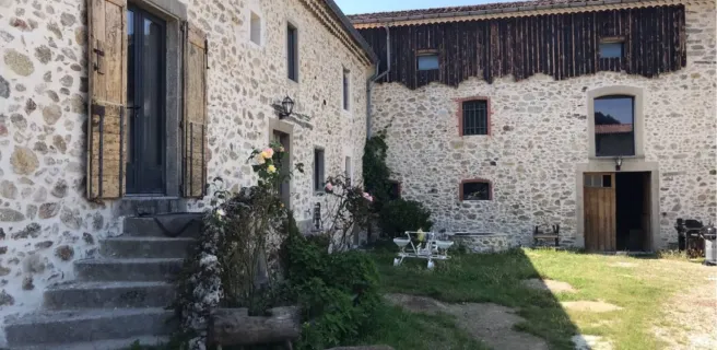
Mazamet / Saint-Pons-de-Thomières
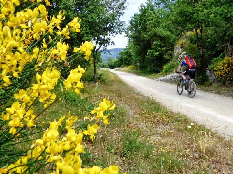
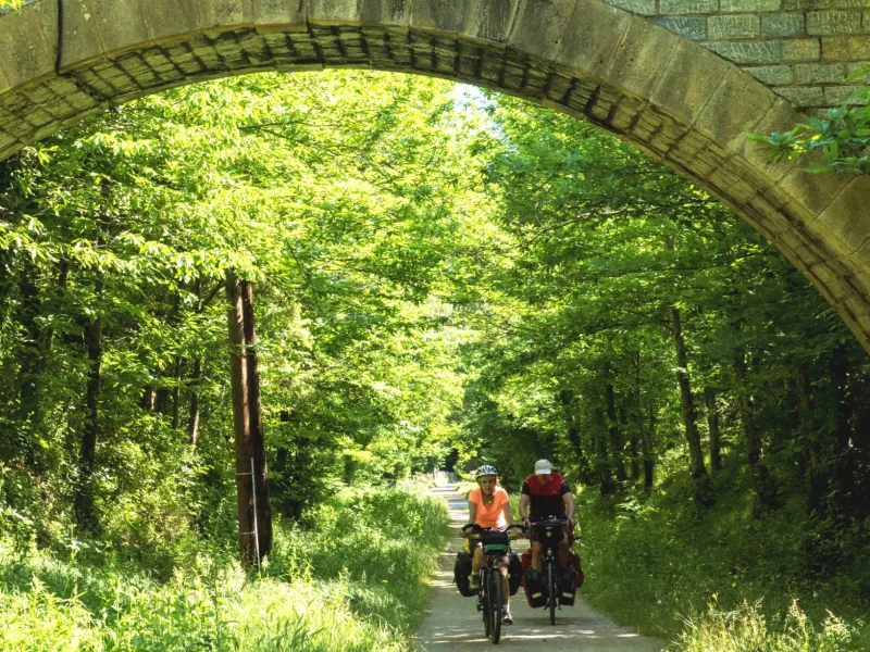
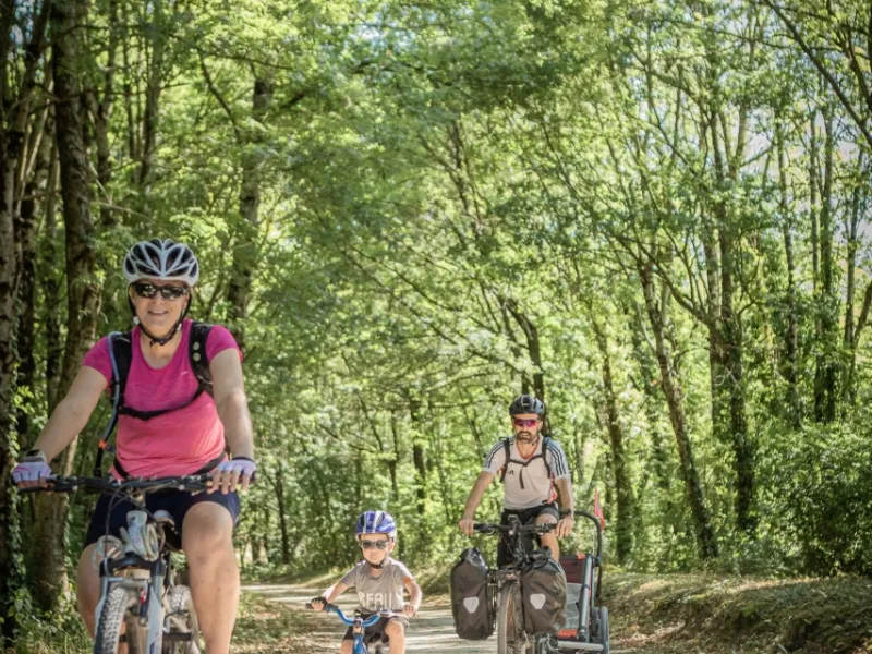

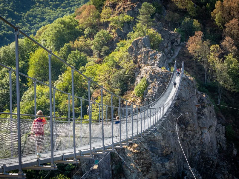
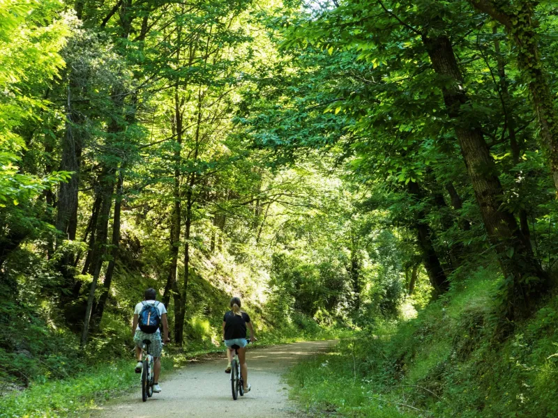

Your PassaPaïs cycling adventure begins at Mazamet, a town tucked under the mighty Montagne Noire. Before setting off, take a walk out onto the spectacular passerelle (pedestrian bridge) over the Arnette Valley, affording fine views of the perched medieval village of Hautpoul nearby. Continue peacefully through the heart of the Thoré Valley, along a stretch of greenway marked by steep meadows, delightful villages and prominent mountains. Thanks to the tunnel under the Col de la Fenille Pass, you shift from Tarn landscapes, with their southwestern French feel marked by the Atlantic’s influence, to Hérault landscapes characteristic of Mediterranean lands. Towards the end of the stage, in order to appreciate the geological riches of the area, consider exploring the Grotte de la Fileuse de Verre before arriving at Saint-Pons-de-Thomières.
PassaPaïs from Mazamet to Saint-Pons-de-Thomières
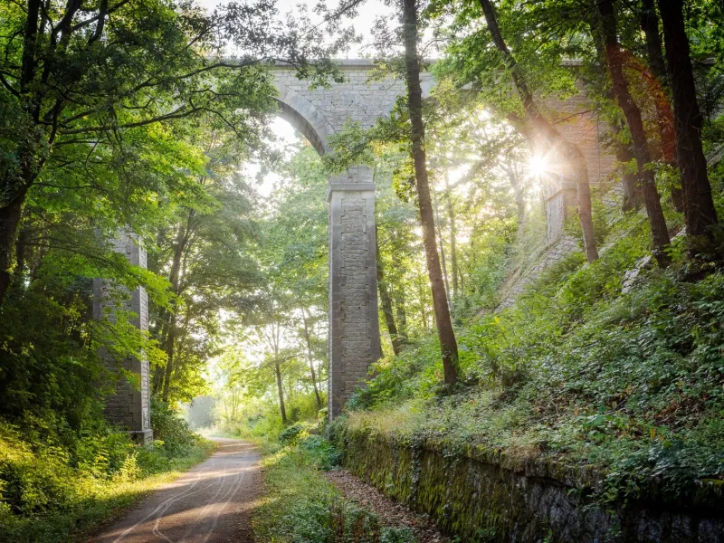
This stage is signposted all the way along its length, starting from Mazamet, close to the railway track. Almost all along, you cycle on a greenway reserved for non-motorized vehicles.
The route runs more or less parallel to the D612, just distancing itself from this road in certain parts.
You pass through several tunnels, all equipped with lighting triggered as soon as you’re detected entering them.
There is just a short portion that’s signposted along the D907 road itself (lasting c.600m), a shared stretch that only has light traffic, before you reach Saint-Pons-de-Thomières, a town for a stage stop.
The surface is firm, in the main consisting of compacted sand or asphalt, depending on stretches. There’s one very short pebbly portion (just c.150m long), soon after you’ve left Labastide-Rouairoux.
Gradients and elevation
Road types
Surface
*

Mazamet to Olargues
Wonderful trail. Was not expecting such a good cycle path. Gradual slope, easy to navigate, scenic, and no traffic. Limited services along the trail, so bring food and water.