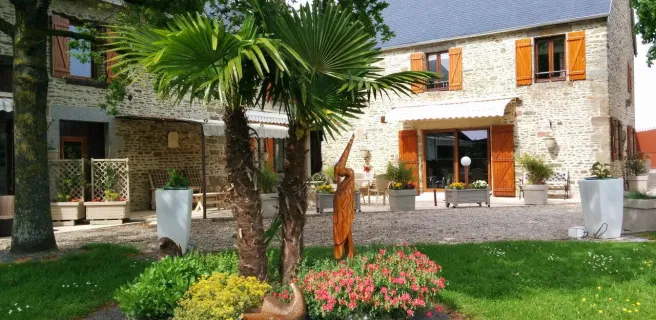
Mont-Saint-Michel / Ducey-Les Chéris
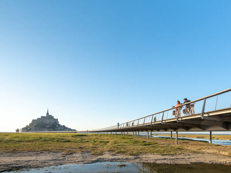
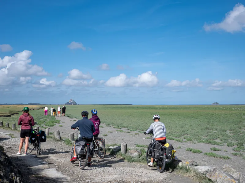
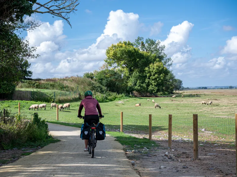
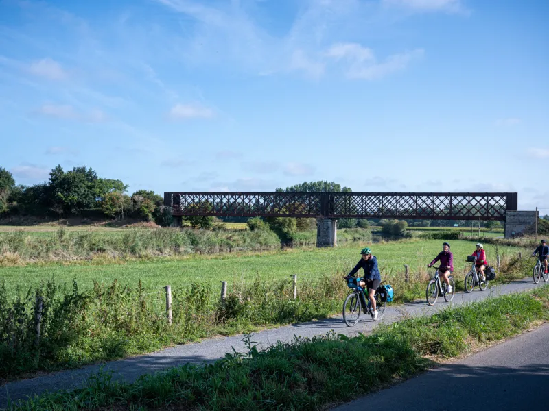
The Vélomaritime route leaves Normandy's Marvel behind, taking you via minor roads across salt-meadows. Make the most of the last glimpses you're afforded across to the Mont Saint-Michel set in its great bay before reaching the Sélune Estuary, your gateway to the traditional bocage normand landscapes, consisting of hedge-divided fields. A lovely greenway leads you gently to the centre of the well-flowered village of Ducey.
Gradients and elevation
Road types
Surface
The route
After the Mont Saint-Michel, you follow minor roads from Beauvoir to the Sée Estuary at Pontaubault. Then you ride along a greenway to Ducey.
Links
Signposted link towards Avranches train station via minor roads across salt-meadows (12km in length leaving from Pontaubault bridge)
SNCF
- Nearby train stations: Pontorson / Mt-St-Michel station: Granville St-Malo line, 2 trains per day on average with service to Le Mont. Avranches station
Access to Mont-Saint-Michel by bike
Bicycles are allowed on the bridge:
- from 1st October to 30th April from 0:00 to 24:00
- from 1 May to 30 September before 10am and after 6pm
On the other hand, bicycle parking is strictly forbidden on the entire bridge-bridge dike, the esplanade and at the foot of the ramparts. Cyclists are invited to leave their bicycles in the spaces reserved for them and to continue their journey to the Mont on foot or by free shuttle bus.
Trains and transport on the route
- Gare de Pontorson / Le Mont-Saint-Michel : ligne Granville Saint-Malo, 2 trains par jour en moyenne avec desserte du Mont.
- Gare d'Avranches
Accès au Mont-Saint-Michel à vélo et stationnement
La circulation des vélos est autorisée sur la digue route et sur la chaussée du pont passerelle.
70 places de stationnement sont disponibles pour toute la saison à l’entrée du site, dans l’avant-cour des Fanils (entrée de gauche, voir les aménagements). ⚠️ Attention, il n'y a pas de gardiennage ni de consigne, le Plan Vigipirate impose de ne pas laisser vos bagages sur les vélos.
Vous pouvez également déposer votre vélo en amont dans l’une des trois zones de stationnement, équipées chacune d’arceaux range vélo : parking P9 réservé aux deux roues proche du Centre d'information touristique (190 places et 5 box vélo), le long de la voie verte - à proximité du barrage (100 places), et place du Relais Saint-Michel - le long de la route menant au Mont (92 places).