All stages on La Vélomaritime / EuroVelo 4
Pleslin-Trigavou / Saint-Malo
Emmanuel Berthier 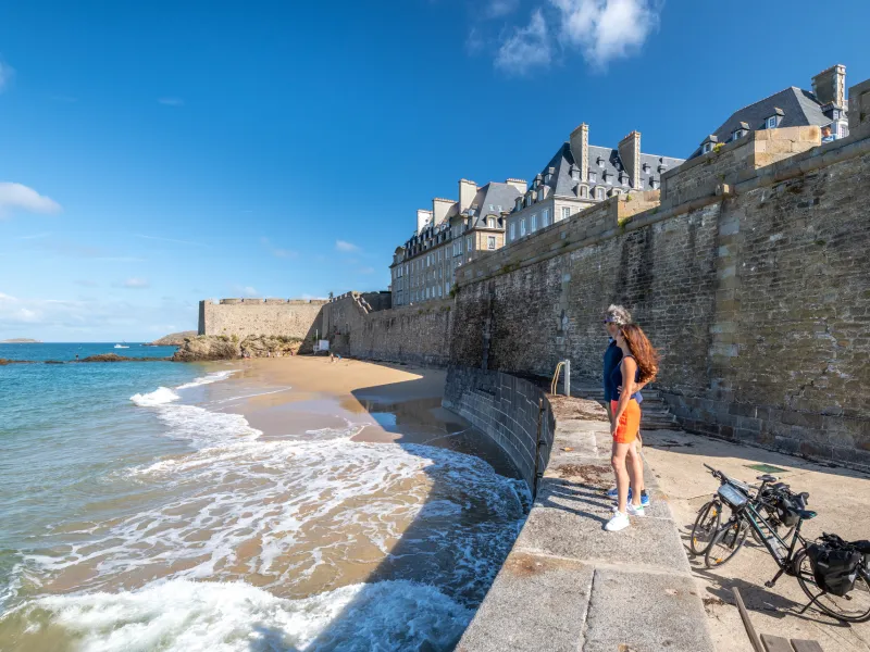
Emmanuel Berthier 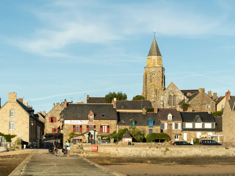
Emmanuel Berthier 
Emmanuel Berthier 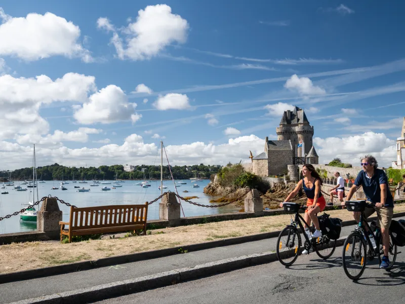
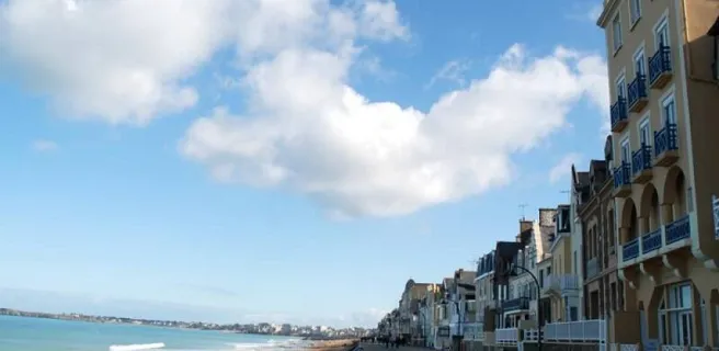
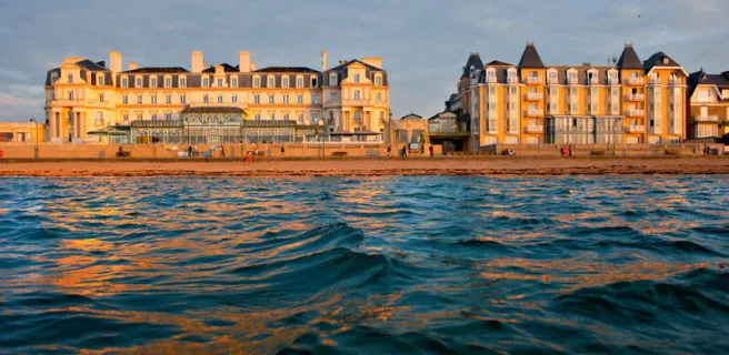
To avoid crossing the dam over the Rance River, the Vélomaritime route takes you along minor roads around the Rance Valley. Midway along the stage, stop at Saint-Suliac, this historic fishermen's village a member of the association Les Plus Beaux Villages de France. Before long, the ramparts around the city of St-Malo come into view. Reaching this place's resort side, the wooden groynes projecting from the beach into the sea help calm the Channel's wilder waves.
Gradients and elevation
Ascents: 154m
Descents: 224m
Lowest point: 3m
Highest point: 97m
Road types
25km (91%) By road
3km (9%) Cycle path
Surface
28km (100%) Smooth
The route
You leave the Breton county of Côtes d'Armor for that of Ille-et-Vilaine after Plouër-sur-Rance, passing via Saint-Hubert bridge, following signposting for the cycle route. Do take care cycling towards Saint-Malo.
Signposted link, 1.2km in length, towards Saint-Malo train station "
SNCF
- Nearby station Saint-Malo station: TGV and TER to Rennes, Paris, TER to Dol-de-Bretagne
Trains and transport on the route
- Gare de Saint-Malo (1,3 km de l'itinéraire) : TGV et TER vers Rennes, Paris, TER vers Dol-de-Bretagne.
Pour rejoindre la gare de Saint-Malo depuis l'itinéraire : au niveau du quai Saint-Vincent, prendre l'avenue Louis Marin et suivre les panneaux routiers "Gare"