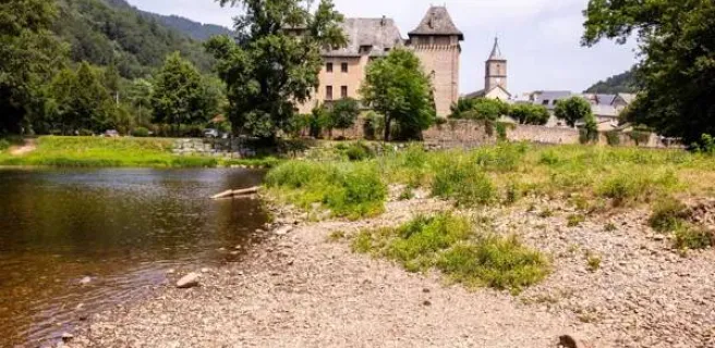
Entraygues-sur-Truyère / Espalion
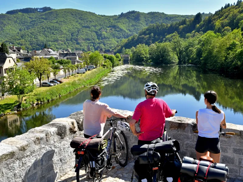
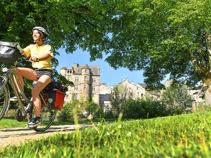
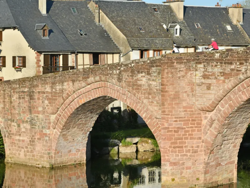
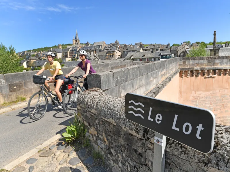
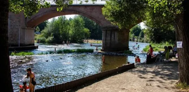
Here, the Lot finds its way through the rocks of the last foothills of the Massif central and the Monts d'Aubrac to the bottom of a valley flanked by sheer cliffs. The route winds its way up the steep, winding road to Golinhac, before descending the Chemin de Saint-Jacques (GR 65) to the Lot, Estaing and Espalion. A beautiful route, but only for strong calves. From Grand-Vabre, you can take the easier "voie de Conques", which also leads to Espalion.
Details of the route
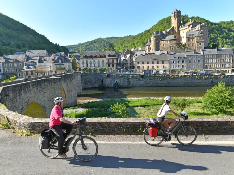
From Entraygues to Estaing: from the center to D 904, D 519 and local roads with moderate traffic but winding with steep sections. Continuous ascent of approx. 10 km from Entraygues. Shared section with GR 65 (Chemin de Saint Jacques de Compostelle) for 7 km downstream of Estaing, with passage on rolling path along the Rau de Luzane. Some sections with gradients > 8%.
From Estaing to Espalion: D 200 and D 556 on the left bank of the Lot with moderate traffic on roads with low to intermediate gradients. Arrival in Espalion via a country lane with narrow sections (if you’re carrying a loaded bike or a trailer, it’s best to stick to the relatively quiet D 556).