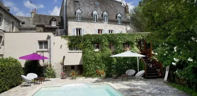
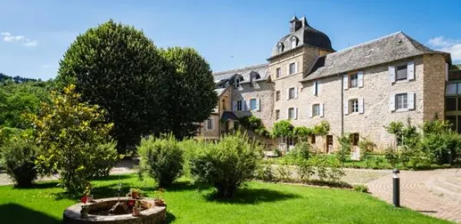
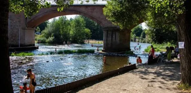
Villecomtal / Espalion
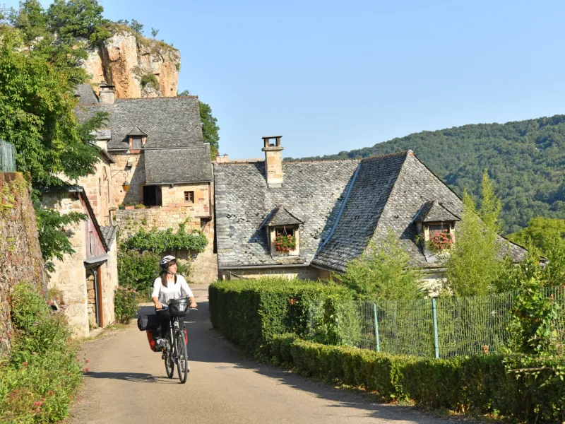
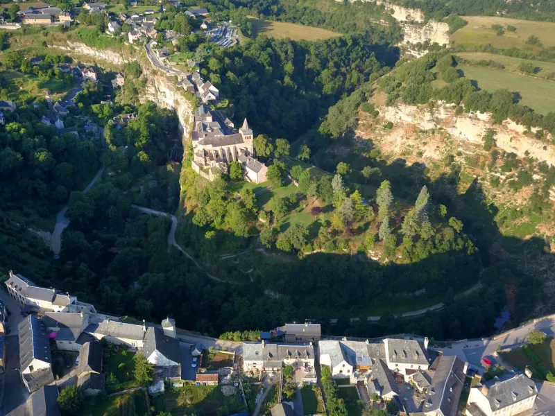
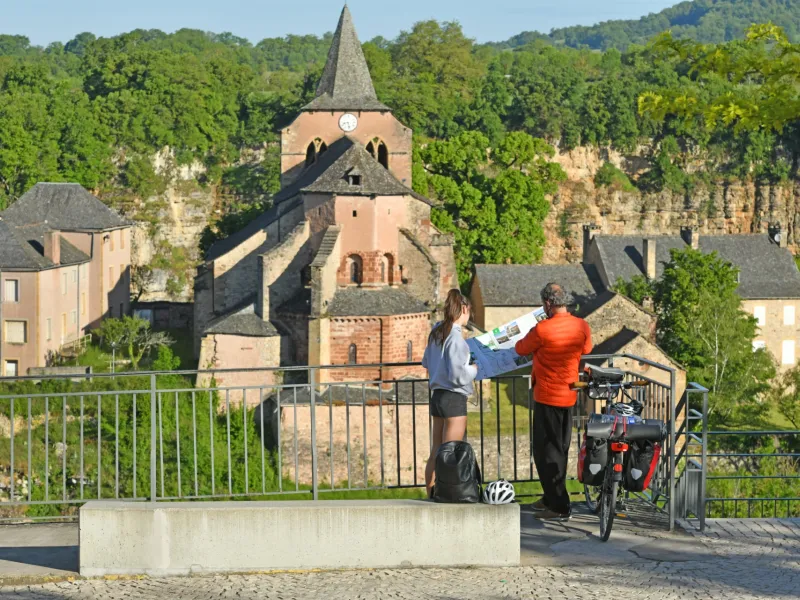
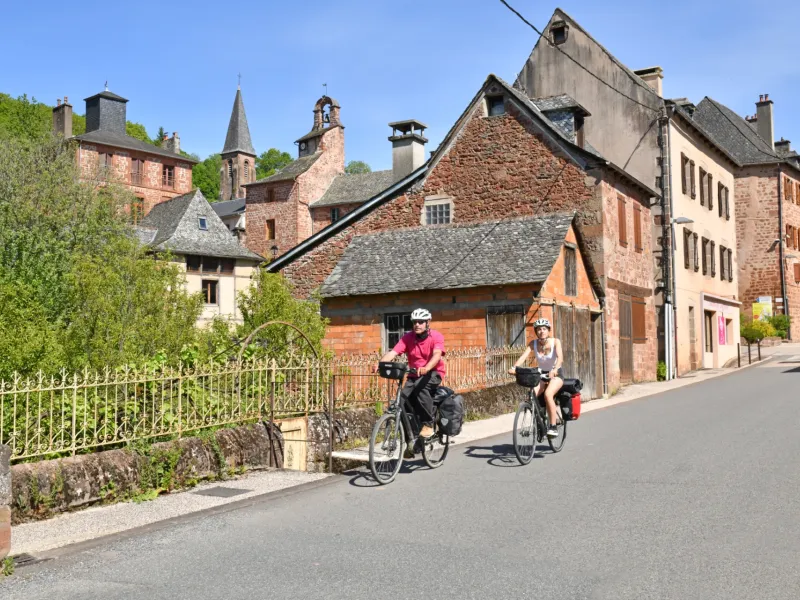
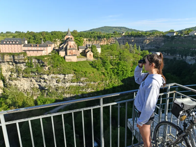
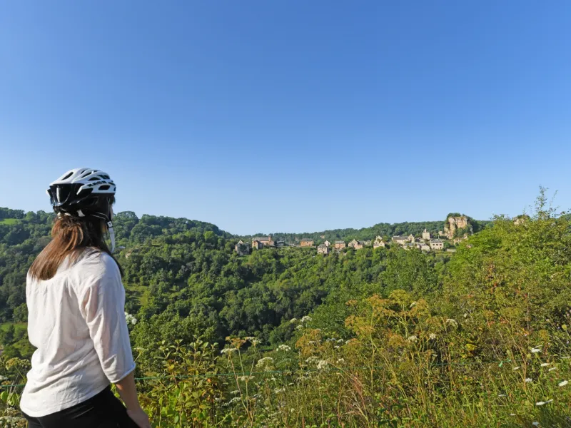
We cross the "rougier" lands, dotted with colorful villages and castles scattered across the countryside. It's a winding climb through wild woods that refresh the increasingly intimate Dourdou valley as you approach the picturesque village of Rodelle. Although the cyclist's calves are put to the test, the landscapes are grandiose, particularly those of the Bozouls canyon, which leave a lasting impression. Before cycling down the old railroad line that joins the Lot at Espalion.
The cycle route
Signposted La vallée du Lot à vélo - voie de Conques (V 86).
From Villecomtal to Bozouls: D904 on the right bank of the Dourdou, with moderate traffic along the river and a moderate, gradual gradient to the outskirts of Rodelle. D68, D27 and D581 to Bozouls. Short sections with gradients >10% on the outskirts of Rodelle, then a steady climb with many false flats to Bozouls.
Difference in altitude: + 474 m / - 241 m.
From Bozouls to Espalion: former railroad line converted into a rustic hiking trail with a moderate gradient and numerous engineering structures.
Difference in altitude: + 140 m / - 342. From Bozouls, you can reach Rodez via Bertholène (approx. 35 km, not signposted).