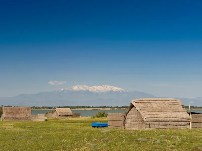
Argelès sur Mer / Leucate
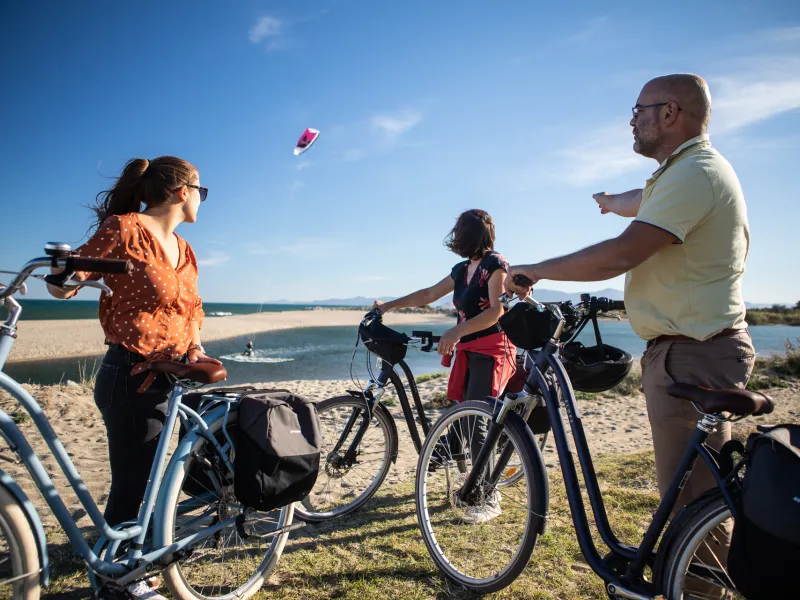
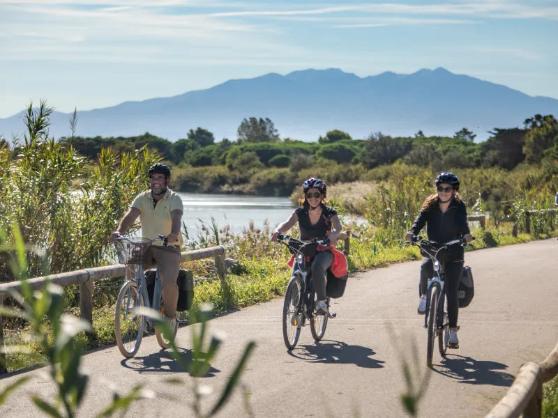
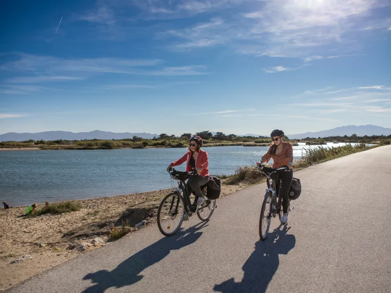
On this, the first coastal stage of the Mediterranean Cycle Route, it’s a joy cycling along, taking in the Med on the track running alongside the beaches of Argelès-Plage. Next comes the resort of St-Cyprien, with its commercial port and very popular seafront. Then on to Canet-en-Roussillon and the Agly Greenway, providing a majestic way to Port-Barcarès. At this port, seeing all the fish on sale will help you work up an appetite. The cycle track to Corrège Point offers a splendid view over Port-Leucate. Then enjoy the lovely track through the pines along the isthmus to Le Grau de Leucate. The panoramic cycle path around Leucate Lagoon takes you gently on to Leucate’s suburbs.
Gradients and elevation
Road types
Surface
The route
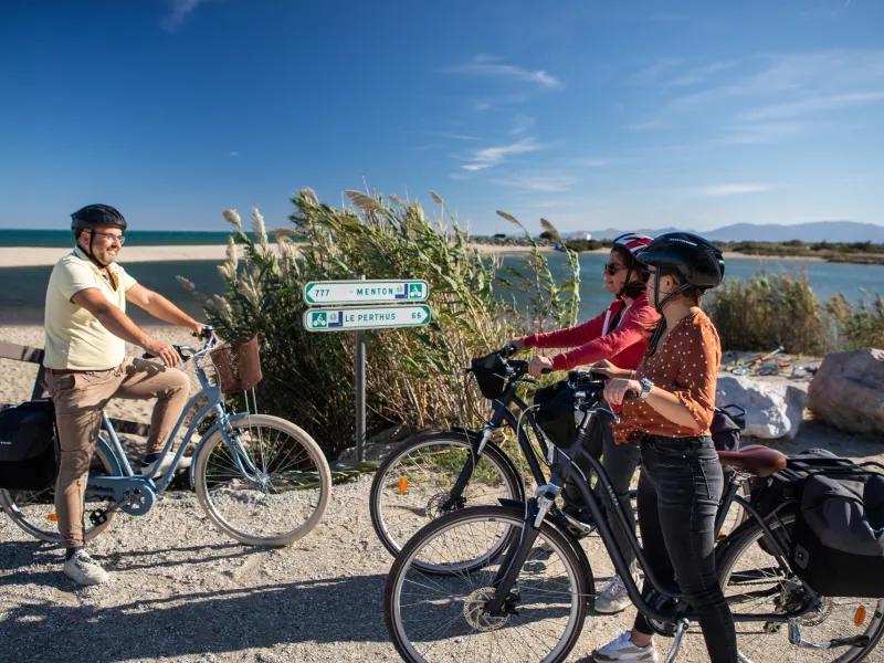
This stage is being signposted. The route alternates between seafront stretches where you share the way with pedestrians and cycle tracks running alongside county roads, plus, in the resorts, there are just occasional parts where you need to cycle along streets shared with cars.
Note how, along the D617 road between Canet-Plage and Canet-en-Roussillon, the cycle track starts at the roundabout leading to the D81A to the left. The lower route below the county road is not signposted; after the lower route, continuity is guaranteed thanks to a cycle track to the left, at the level of an open gateway.
Smooth surfaces: on this stage, the surfaces are generally extremely even for cyclists, except for the stretches signalled below.
Rough surfaces: on a stretch along the seafront at Argelès sur Mer and at the start of the cycle track along the D81 road (for c.700 m). On the seafront at Le Barcarès. On a 3.5km stretch at Port Leucate, along the D627 road. These stretches are manageable with 700x25 tyres and a well-loaded bike.
Links
Towards Collioure
From Argelès-Plage, the Vélittorale allows cyclists to go from the Réserve Naturelle Nationale du Mas Larrieu to the creeks located between Le Racou and Collioure.
Towards Perpignan
At the level of Sainte-Marie, an almost entirely traffic-free cycle track leads to Sainte-Marie-Plage and Perpignan.
PRACTICAL INFORMATION
Tourist Offices
Office de tourisme d’Argèles-sur-Mer
33 (0)4 68 81 15 85
Office de tourisme de St-Cyprien
33 (0)4 68 21 01 33
Office de tourisme de Canet-en-Roussillon
33 (0)4 68 86 72 00
Office de tourisme de Perpignan
33 (0)4 68 66 30 30
Office de tourisme de Ste-Marie la Mer
33 (0)4 68 80 14 00
Office de tourisme de Le Barcarès
33 (0)4 68 86 16 56
Parc naturel régional de la Narbonnaise en Méditerranée
33 (0)4 68 42 23 70
Office de tourisme Leucate Méditerranée
33 (0)4 68 40 91 31
SNCF railway stations
Collioure station
Argelès station
Perpignan station
Leucate La Franqui station