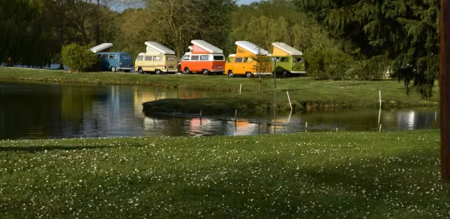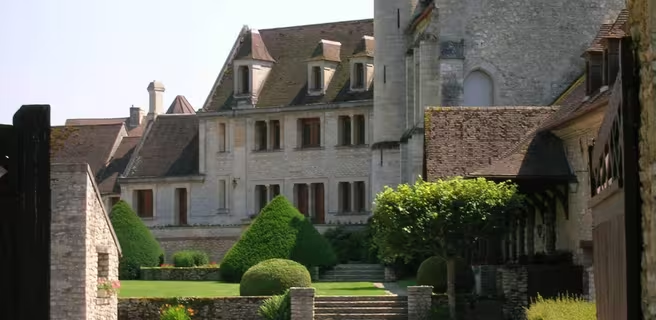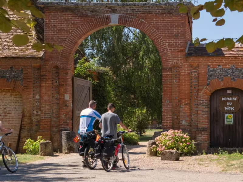
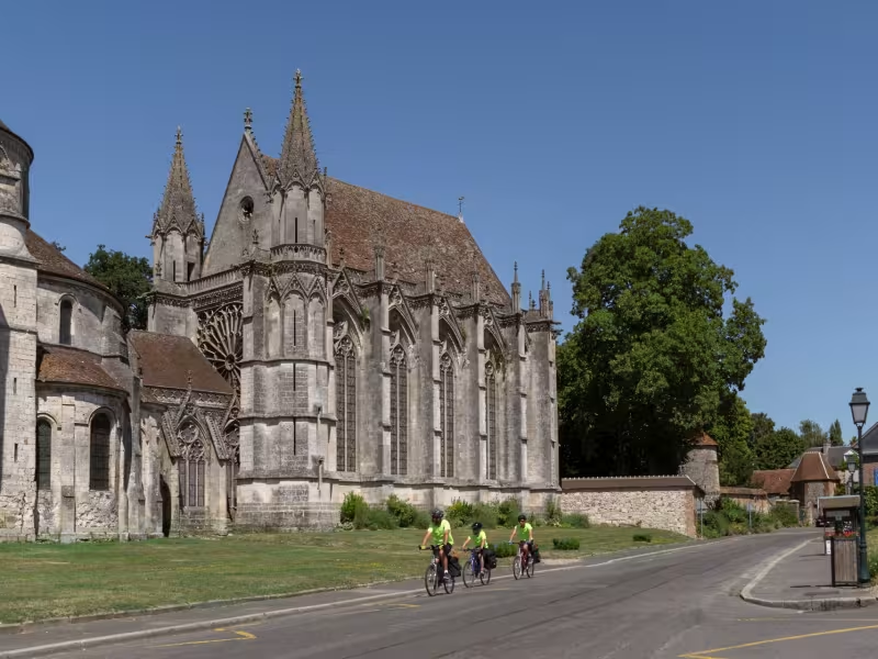
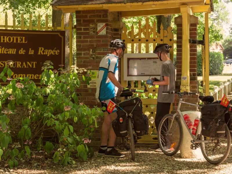
Leaving Gisors, the tiny roads follow the Epte Valley between the wooded hills of Vexin. You will then travel between peat lands, wet meadows and limestone meadows covered with large numbers of orchids in spring. The Oise and the Normandy tracks converge to a single main track close the the famous abbey of Saint-Germer-de-Fly.
The cycle route
Course on small roads overlooking the valley with some good coastlines as we approach Neuf-Marché. Be careful on the D 17 at Sérifontaine.
Gradients and elevation
Ascents: 244m
Descents: 192m
Lowest point: 52m
Highest point: 188m
Slope breakdown
0.51km steep descent (< -5%)
5km gentle descent (-5% to -1%)
20km flat (-1% to 2%)
4km climb (2% to 5%)
0.51km hard climb (5% to 8%)
Road types
29km (100%) of shared roads
- Cycle path
- Routes reserved for cyclists and pedestrians (greenways, cycle tracks, towpaths), separated from cars for maximum safety.
- Shared road
- Quiet minor roads with little traffic (unless otherwise stated in the stage details). Shared with cars (stay alert).
- Not specified
- Data unavailable or being assessed. Please refer to the detailed stage description.
- Provisional
- Section on a road or cycle path awaiting better-quality facilities (see stage details).
13km (44%) of provisional itinerary
Surface
29km (100%) of smooth surface
- Smooth
- Asphalt, tarmac or smooth concrete. Optimal comfort.
- Rough
- Fine gravel, compacted stabilised surface or worn tarmac. Less comfortable, vibrations possible.
- Natural
- Dirt, grass, roots or stones. Under 5%: short sections with little impact. Higher percentage: route suited to mountain or gravel bikes only.
- Not specified
- Data unavailable or being assessed. Please refer to the detailed stage description.