La Meuse à vélo from Haybes to Givet

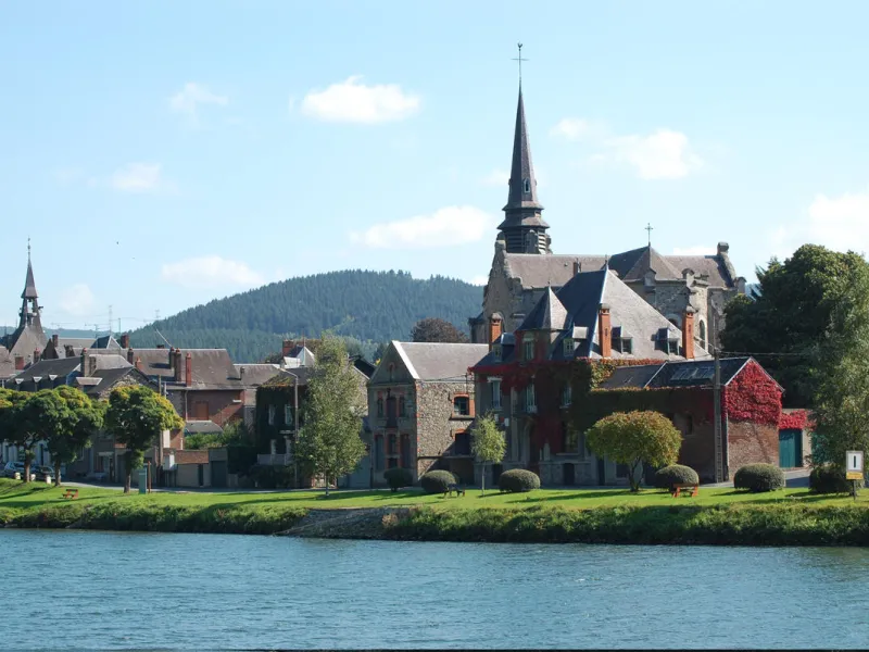
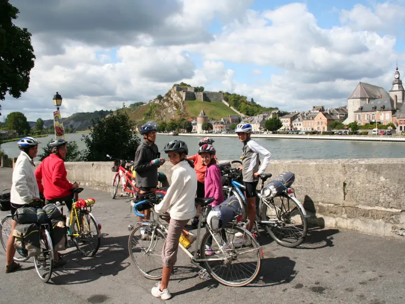
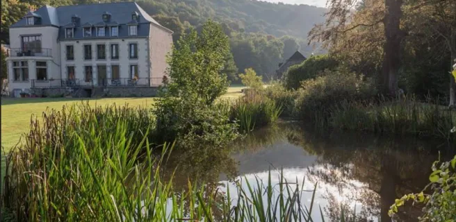
The Meuse Valley gradually opens up as you approach Givet. Along the green route you can admire the local architecture, with its impressive, castle-like buildings. Perched on a rocky spur, the Charlemont fortress greets cyclists as they arrive in Givet, the perfect place to stop off on one of the many terraces alongside the river Meuse. Continue north towards Belgium, in the direction of Dinant and the RAVel network.
The route
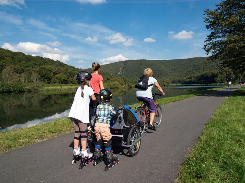
Along this stretch, most of the cycle path is segregated from motorized traffic. However, local residents are allowed to use their cars on a few stretches along the way.
Take care on the provisional section at the level of the Boucle de Chooz, where you have to join the RD 46 road.
Links
Givet stands by the Franco-Belgian border. You can use the Meuse à Vélo cycle route to join the extensive RAVeL cycle network covering the southern, French-speaking Belgian region of Wallonia.
Gradients and elevation
Road types
Surface
Dont' miss
Vireux–Molhain: Saint-Ermel Collegiate Church
Vireux-Molhain: Roman encampment
Givet: Centre Européen des Métiers d'Arts (a major arts and crafts centre)
Givet: Tour Victoire (an historic tower)