Canals & intimate rivers
33,93 Km
2 h 15 min
I cycle often
Monthermé
Haybes

33,93 km cycling route from Monthermé to Haybes

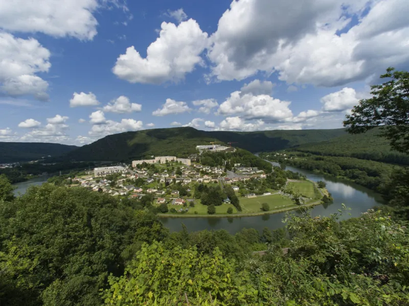
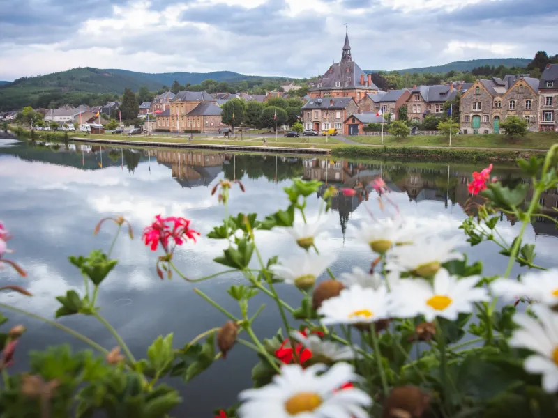
This stage of La Meuse à Vélo passes through the steepest section of the Ardennes range. Here, the forest-covered slopes sweep down steeply towards the Meuse. Here and there, you'll spot outcrops of schist peeking through: a stone used extensively in local architecture. The landscapes have inspired local myths like Les Dames de Meuse (the Ladies of the Meuse).

Elevation of the stage

123 m 108 m

Waytypes of the stage

Cycle path: 24,93 km By road: 8,94 km

Surface of the stage

Lisse: 33,86 km

The route

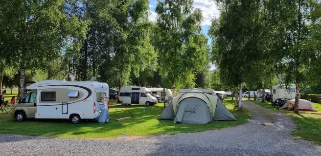
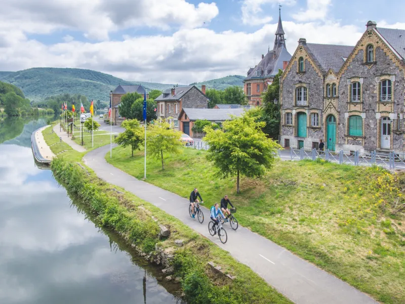
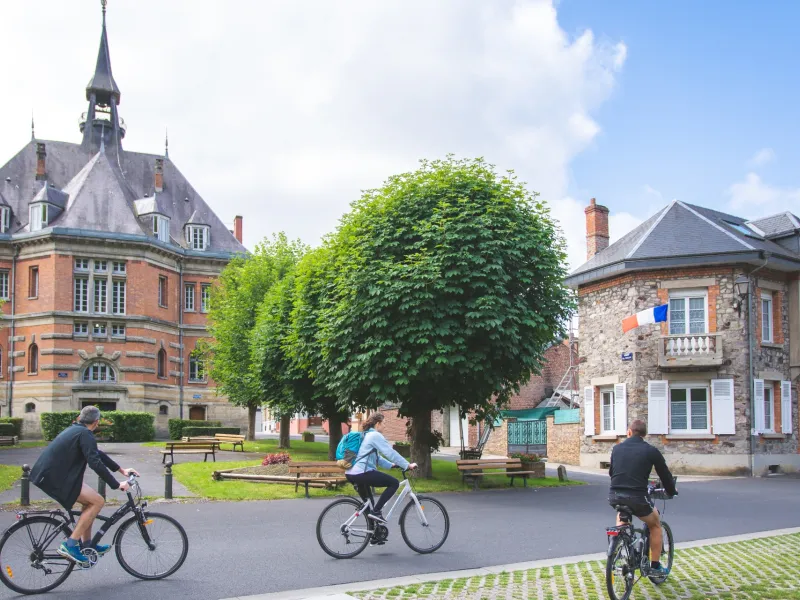
Presenting no particular difficulty, the route runs along the perfectly surfaced towpath.

Connections

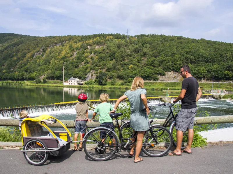
From Monthermé, you can take another green route running alongside the Semoy. This quiet valley will delight nature lovers.

SNCF (FRENCH RAILWAYS)

  ● Monthermé railway station

  ● Revin railway station

  ● Haybes railway station

Tourist Office(s)

  ● Les boucles de Meuse & Semoy Tourist Office - www.meuse-semoy-tourisme.com  - 03 24 54 46 73

  ● Val d'Ardenne Tourisme - www.valdardennetourisme.com - 03 24 42 92 42

Don't miss...

Monthermé – numerous viewpoints

Laifour: Les Dames de Meuse (nature site)

Revin: the Vieux Revin museum

Fumay: France's slate capital

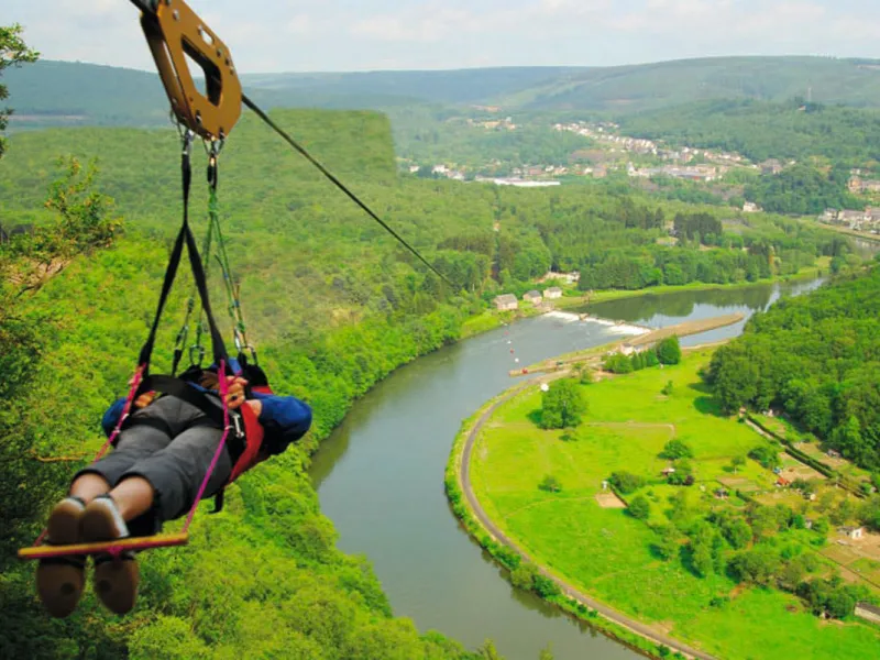
The Terraltitude Park - Fumay

Le Clos Belle Rose micro-brewery - Haybes

Haybes: Hiking centre, La Platale viewpoint

Link routes and alternatives to this stage

This stage includes 4 liaisons (purple on the map)
Liaison 1
GPX track
Liaison 2
GPX track
Liaison 3
GPX track
Liaison 4
GPX track

Accommodation on the stage

Travellers’ reviews

on Monthermé / Haybes
Ratings from internet users (0) 0,0
Options
Caption
Cycle path
Links
By road
Alternatives
Mountain bike itinerary
Provisional itinerary
connected route
Caption
connected route
Caption
European route (EuroVelo)
National, regional or local route
Cycling circuit
Mountainbike route
Enlarge map Reduce map