Langres / Montigny le Roi
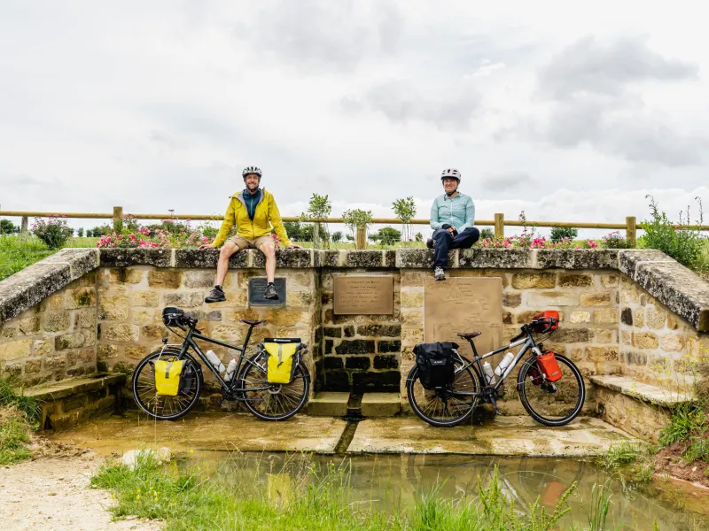
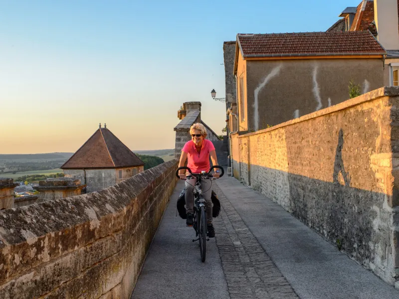
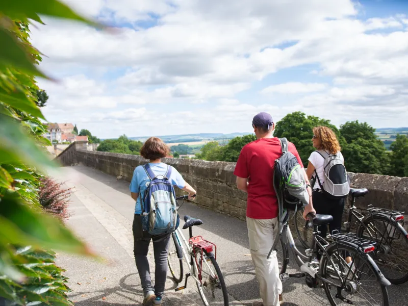

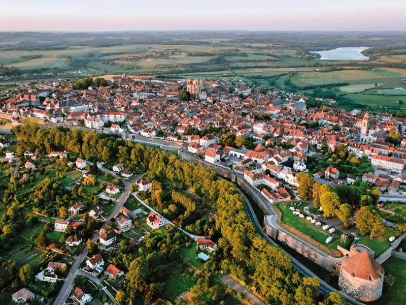
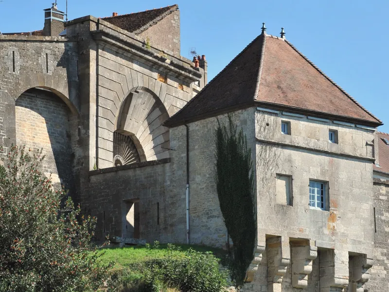
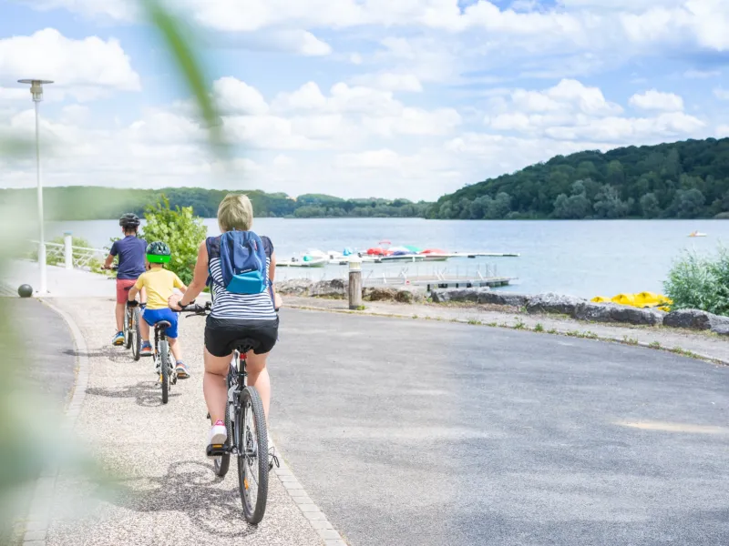
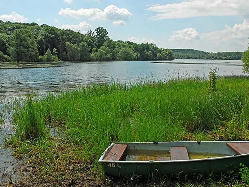
You'll be setting off from Langres, Europe's largest fortified city with its 8 km of walls. After leaving the hometown of philosopher Diderot, you'll be cycling along the "Entre Champagne et Bourgogne" canal. You then arrive at Lac de La Liez, before continuing your journey towards Andilly-en-Bassigny and its Gallo-Roman archaeological site, along the peaceful but hilly roads of the Haut-Marne. Be sure to sample Langres cheese in Saulxures!
Gradients and elevation
Road types
Surface
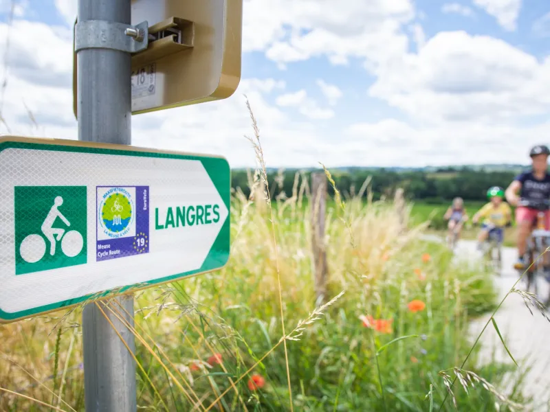
The route
After departing from Langres, travel along the towpath of the Marne-Saône Canal. Most of the route is low-traffic local roads with slight uphill sections (D52 then D266, D35 and D277).
Key sites
- Langres, covered by the "Plus Beaux Détours en France" (Most beautiful corners of France) and "Ville d'Art et d'Histoire" (Town of art and history) labels.
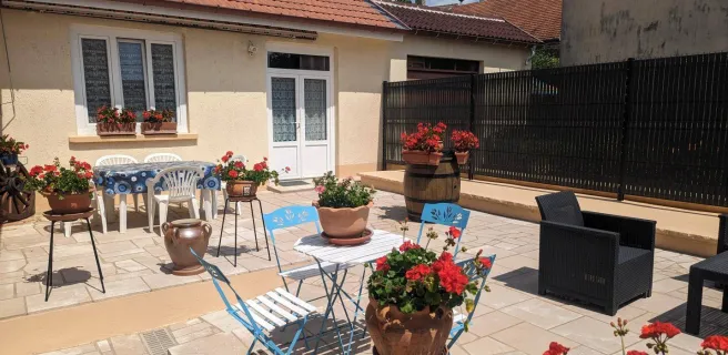
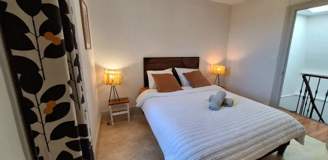
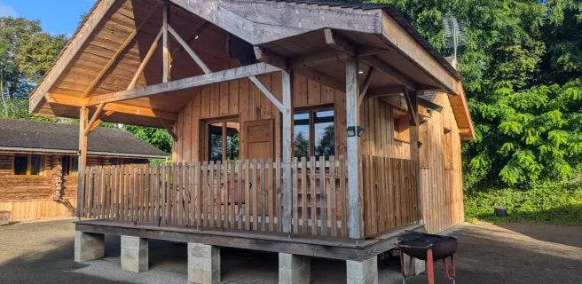
Find your accommodation on this stage
Trains and transport on the route
- Gare de Langres