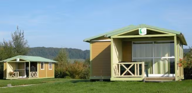

Montigny-le-Roi / Bourmont


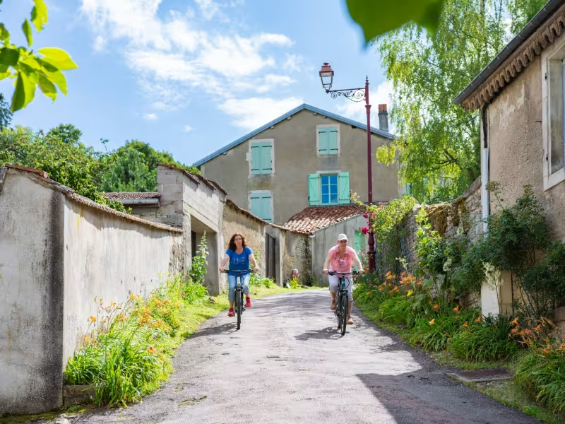
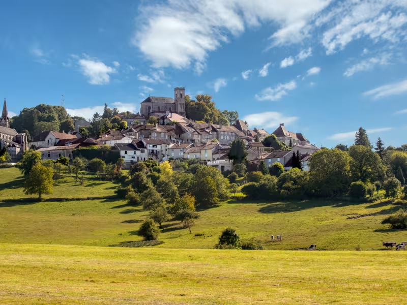
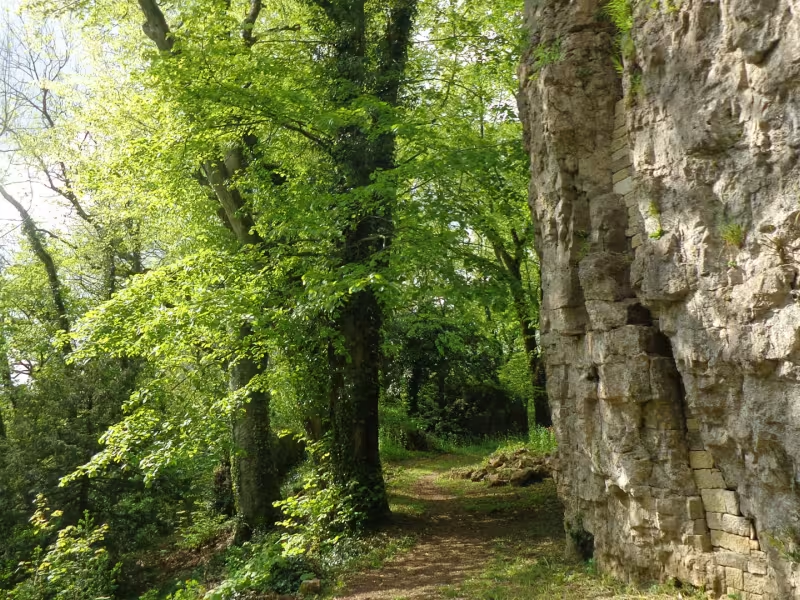
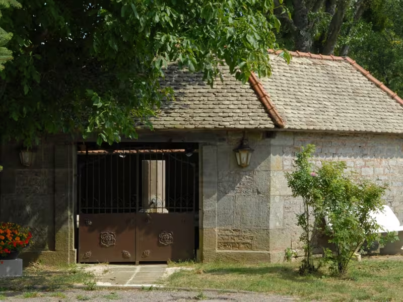
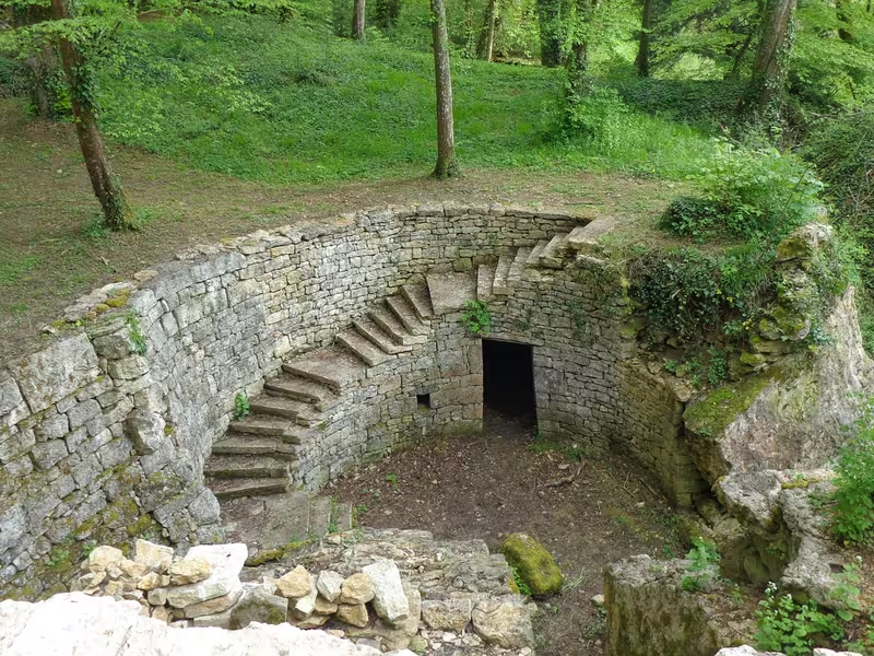
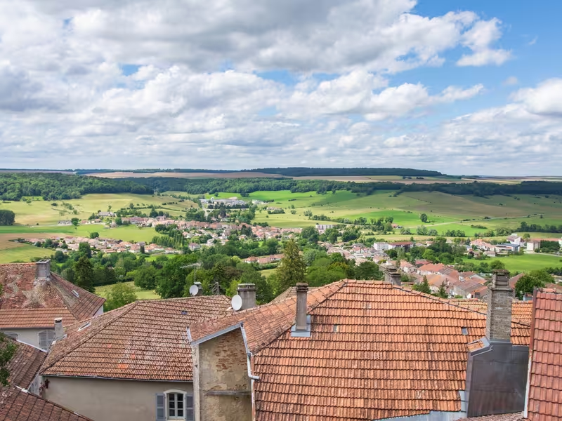
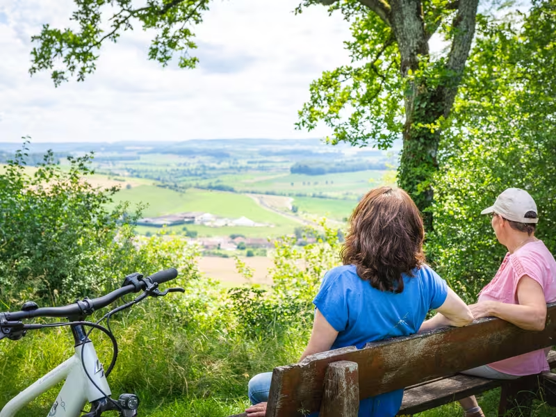
In Montigny-le-Roi, discover the wash houses and fountains before arriving at the Source of the Meuse in Pouilly-en-Bassigny, where you'll really be starting your journey along the Meuse, a 950 km European river. A monument displays its route. A former fortified town situated on a cuesta, Bourmont overlooks the upper Meuse valley. Enjoy a stroll through its ancient narrow streets with their rich and exciting history. And through the Parc des Roches and its Promenade du Côna, listed as "Jardins Remarquables" (Outstanding gardens).
Gradients and elevation
Road types
Surface
The route
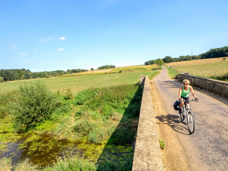
This stage takes you along local roads with low traffic levels. The route is fairly flat here. Your journey continues across the plateau heading towards the Vosges foothills, and only starts to become demanding as you reach the hilltop village of Bourmont.
Key Sites
- Bourmont, covered by the "Petite Cité de Caractère" label (Small towns with character).