Saint-Mihiel / Verdun

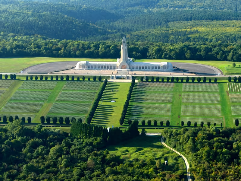
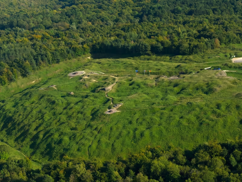
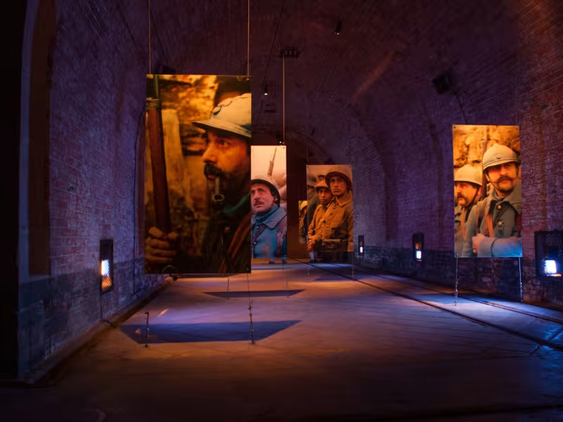
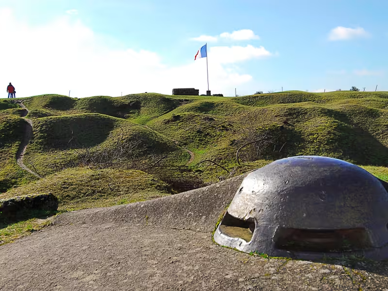
The Meuse today has one of the world's most extensive collection of great war heritage sites. This historical commemorative heritage is extremely authentic, including artillery batteries and concrete entrenchments, trenches, communication trenches, shell holes, tunnels, galleries, monuments, graves and headstones dotted across the landscape, with these sites covering tens of thousands of hectares throughout the département. Verdun is the ultimate symbol of the great war.
The route
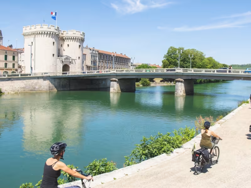
After setting off from Saint-Mihiel, you'll be pedalling along a local road on the left bank. Once you get past the village of Dugny-Sur-Meuse, turn right towards Belleray. Then continue along the country road before reaching Verdun through the new green route. The Verdun battlefield is 10 km from Verdun’s town centre, in the direction of Douaumont/Longwy.
Gradients and elevation
Répartition des pentes
Road types
Surface
Key sites
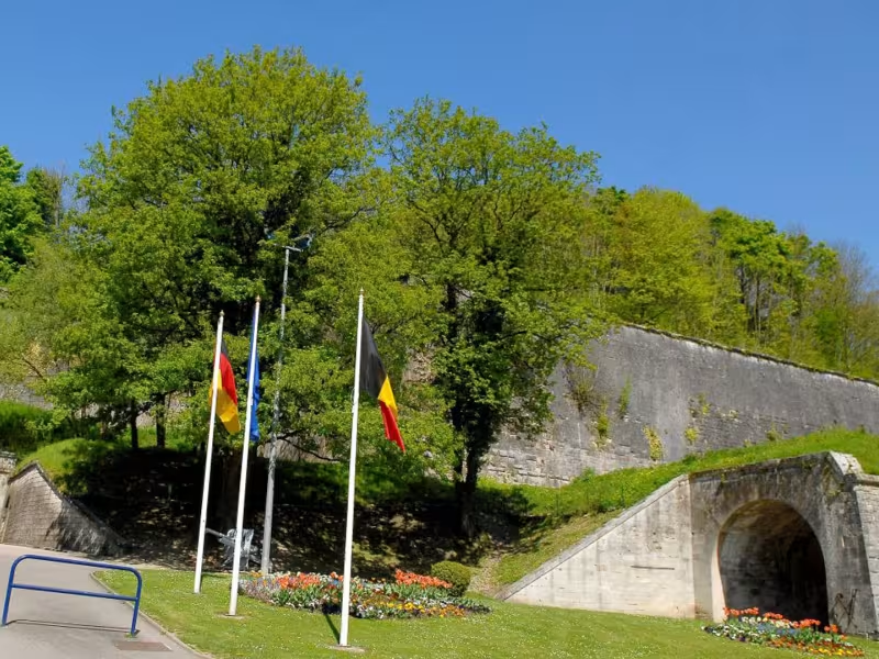
- Verdun's underground fortress. The Ouvrage de la Falouse fort.