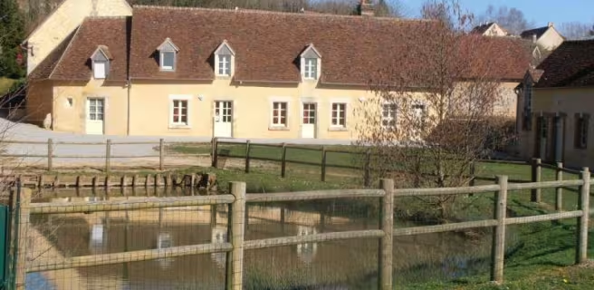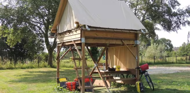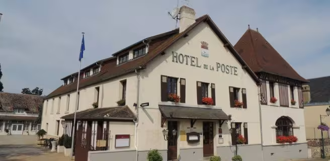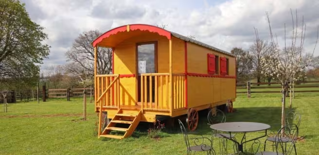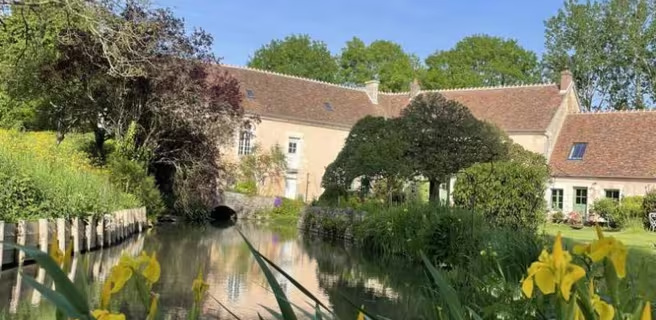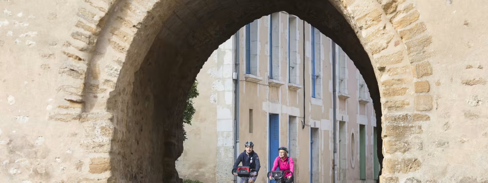
La Véloscénie continues along the greenway from Condé-sur-Huisne to Alençon. You just swap the Parc Naturel Régional du Perche for the adjoining Parc Naturel Régional Normandie-Maine, just before Le Mêle-sur-Sarthe. The lake here provides a refreshing halt, one that children greatly appreciate.
Gradients and elevation
Ascents: 65m
Descents: 113m
Lowest point: 150m
Highest point: 228m
Slope breakdown
4km gentle descent (-5% to -1%)
10km flat (-1% to 2%)
1km climb (2% to 5%)
Road types
15km (100%) of cycle paths
- Cycle path
- Routes reserved for cyclists and pedestrians (greenways, cycle tracks, towpaths), separated from cars for maximum safety.
- Shared road
- Quiet minor roads with little traffic (unless otherwise stated in the stage details). Shared with cars (stay alert).
- Not specified
- Data unavailable or being assessed. Please refer to the detailed stage description.
- Provisional
- Section on a road or cycle path awaiting better-quality facilities (see stage details).
Surface
11km (72%) of smooth surface
4km (28%) of rough surface
- Smooth
- Asphalt, tarmac or smooth concrete. Optimal comfort.
- Rough
- Fine gravel, compacted stabilised surface or worn tarmac. Less comfortable, vibrations possible.
- Natural
- Dirt, grass, roots or stones. Under 5%: short sections with little impact. Higher percentage: route suited to mountain or gravel bikes only.
- Not specified
- Data unavailable or being assessed. Please refer to the detailed stage description.
Itinerary
You continue along a greenway all along this stage. There's a very short link to reach the centre of Le Mêle-sur-Sarthe.
Tourism Offices
- Mortagne-au-Perche : +33 2 33 83 34 37
- Le Mêle-sur-Sarthe : +33 2 33 27 63 97
Not to be missed
Le Mêle-sur-Sarthe : leisure sports centre and its nautical activities.
Trains and transport on the route
- Gare d'Alençon