Nature & small heritage
25,18 Km
1 h 40 min
I cycle often

25,18 km cycling route from Illiers-Combray to Thiron-Gardais
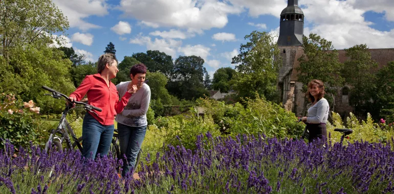
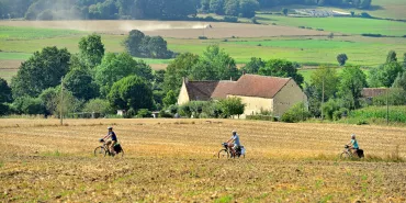
You mainly follow ordinary roads along this stage of La Véloscénie, taking you from the Beauce Plain to the edge of the Perche. Little Thiron-Gardais is a gateway into this beautiful rustic area and provides a surprise with its remarkable abbey and grounds.
Elevation of the stage
93 m 171 m
Waytypes of the stage
Cycle path: 0,10 km By road: 25,08 km
Surface of the stage
Smooth: 25,18 km
Itinerary
You leave Illiers-Combray via a very short cycle track carrying you over a stream. Then you follow a small road until the intersection with the D 922 road, where you need to pay attention to the traffic. Cycle with caution on the slightly tricky section up to Méréglise. Then you join quiet country roads, crossing two pleasant woods.
Railway station
Illiers-Combray station : many Express Regional Transport (TER) from and to Chartres
Tourism Offices
Illiers-Combray : +33 2 37 24 24 00
Thiron-Gardais : +33 2 37 49 49 49
Not to miss
Thiron-Gardais : La Grange aux Dîmes, The Abbey Domain – The Royal Military College – The Abbey Gardens.
Accommodation on the stage
Did you like this?
You may also be interested in this...


Travellers’ reviews