Nature & small heritage
10,97 Km
43 min
I begin / Family
10,97 km cycling route from Mortain to St-Hilaire-du-Harcouët
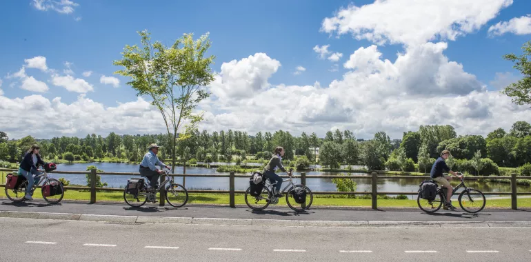
The enchanting Cance waterfalls are a focal point of the powerful local terrain, carving between steep hills, an untamed heart of ‘Armorican Normandy’. The greenway then heads towards St-Hilaire which precedes your arrival in the Bay of Mont Saint-Michel.
Elevation of the stage
55 m 10 m
Waytypes of the stage
Cycle path: 10,97 km
Surface of the stage
Smooth: 9,72 km Rough: 1,24 km
Maintenance work in progress
At the entrance of St-Hilaire-du-Harcouët, a 300-meter-section of greenways is closed for pedestrians, cyclists and horse riders from 6 January to 5 June 2020. Please find the following detour via Rue du Champ du Chêne.
Itinerary
Leave Mortain and reach the greenway. Rolling and very wide, the greenway pass you in front of many old railway stations and guard houses restored.
Be careful on the D977, the link to get Saint-Hilaire-du-Harcouët.
Tourism Offices
Mortain: 02 33 59 19 74
Not to be missed
Mortain: the ‘large and small’ waterfalls; former Benedictine Abbey and collegiate church of St-Evroult – the ‘white abbey’.


Travellers’ reviews